![Request for Information – Potential [Placeholder for Prize]](https://assets.science.nasa.gov/dynamicimage/assets/science/missions/a-step/FFR_Earth_Background_20251120%20.png?w=1024)


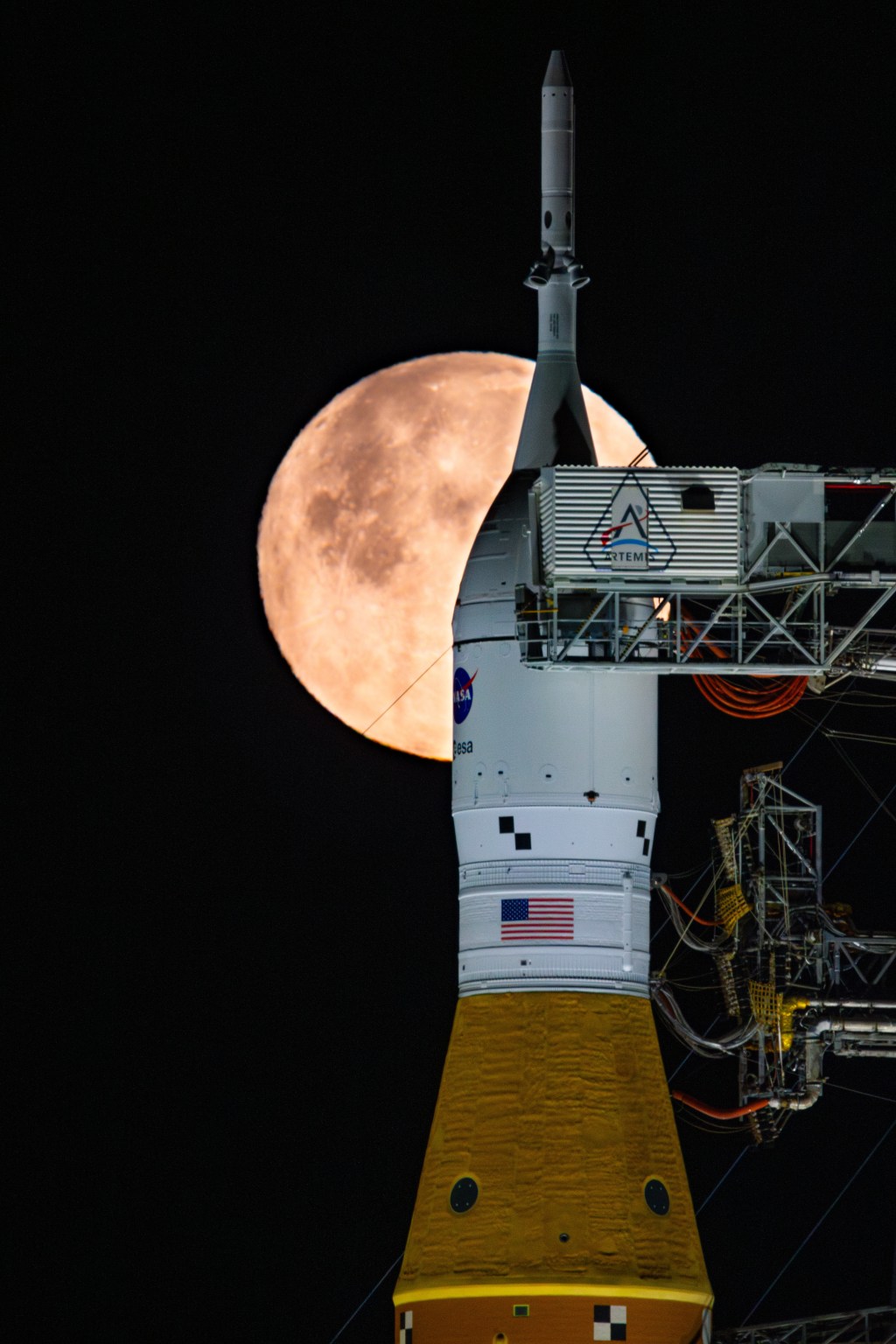
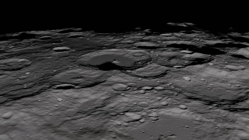
When astronauts set off for a trip around the Moon in 2024 with NASA’s Artemis II mission, they will go primed with knowledge of lunar landmarks gathered by one of the Agency’s premiere robotic missions to our nearest cosmic neighbor. NASA’s Lunar Reconnaissance Orbiter (LRO), launched in 2009, has returned a treasure trove of scientific data in its fourteen years of operation, but this is not all the benefit it can provide. With “reconnaissance” right in the name, it should come as no surprise that this mission was designed from the ground up with the idea of aiding crewed spaceflight.
As astronauts prepare to head back to the Moon for the first time since 1972, they have been trained on how to identify landmarks, spot geological features, and help mark areas of interest for future landings, all using data gathered by LRO. This training involved scientific visualization put together using LRO data to highlight the features they will see from orbit.
According to Kelsey Young of NASA’s Goddard Space Flight Center in Greenbelt, Maryland, this functionality was baked into the workings of the LRO mission from the very start. “The mission was initially funded and the instruments selected not only to meet science mission directorate goals, but also those of the human spaceflight program,” says Young, the Science Flight Operations lead for the upcoming Artemis missions. “The instruments were selected in part because they have use both for science and for exploration.”
To this end, the four astronauts selected for the next trip to the Moon went through a week-long classroom course which taught them how to identify lunar landmarks from orbit. The class featured data from LRO, which was used to give visual aids to the lessons the astronauts learned. As a capstone to their lessons, the astronauts were tasked with identifying areas of interest for potential landings from a selection of orbital imagery.
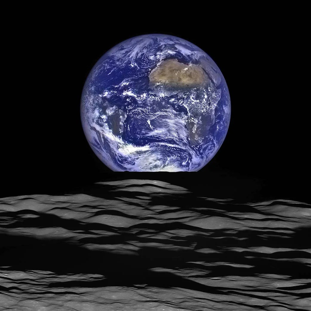
This sort of training is crucial not just for Artemis II, but for all subsequent journeys to the Moon as part of the Artemis program. As pointed out by Ernie Wright of Goddard’s Scientific Visualization Studio, LRO has provided us the best global mapping of the shape of any planetary body in the Solar System. This includes the Earth, where oceans and polar ice coverage prevent similar high-resolution mapping of the rocky surfaces underneath.
“With the Moon, we can do all of those things globally, and one of the reasons that LRO was launched was to find a place that would be interesting to send astronauts,” says Wright, who has been working with LRO data for the entire lifetime of the mission.
Jacob Richardson, a research scientist on Goddard’s planetary science team who was also involved in the training program put together for Artemis II astronauts, noted human eyes and the human mind can notice things and make split-second inferences better than even the most advanced robotic probe.
Of the classroom course put together for the Artemis II astronauts, Richardson says that hardly an hour went by where they were not using data and imagery from LRO. “One of the things that we did was show them examples of scientifically interesting features that they’ll see from orbit,” he says. That way, when the astronauts fly past the Moon next year, they will be prepared with knowledge of what they might see, where these features are in relation to each other, and how to seek out features that may be of interest for astronauts who will land on the lunar surface in future missions.
He points out how, as late as the later Apollo missions, our knowledge of lunar surface features was constrained by the technology available at the time. “When we went to the Moon with Apollo, we were incredibly successful, especially for an early space-age mission,” he says. “But we did that with very limited information on what the surface actually looked like. Even for Apollo 16, we thought that they were landing on lava flows and they were not.”
Fourteen-plus years of imagery and data gathered by LRO ensures that astronauts returning to the Moon are fully prepared for a successful mission of exploration and discovery as part of NASA’s ongoing mission to explore Earth’s nearest neighbor.
By: Nick Oakes
NASA Goddard Space Flight Center, Greenbelt, Maryland
Media Contact:
William Steigerwald
William.A.Steigerwald@nasa.gov
NASA Goddard Space Flight Center, Greenbelt, Maryland