


![Request for Information – Potential [Placeholder for Prize]](https://assets.science.nasa.gov/dynamicimage/assets/science/missions/a-step/FFR_Earth_Background_20251120%20.png?w=1024)


Credits: NASA’s Goddard Space Flight Center/Kathryn Mersmann
NASA’s Worldview app lets you explore Earth as it looks right now or as it looked almost 20 years ago. See a view you like? Take a snapshot and share your map with a friend or colleague. Want to track the spread of a wildfire? You can even create an animated GIF to see change over time.
Through an easy-to-use map interface, you can watch tropical storms developing over the Pacific Ocean; track the movement of icebergs after they calve from glaciers and ice shelves; and see wildfires spread and grow as they burn vegetation in their path. Pan and zoom to your region of the world to see not only what it looks like today, but to investigate changes over time. Worldview’s nighttime lights layers provide a truly unique perspective of our planet.
What else can you do with Worldview? Add imagery by discipline, natural hazard or key word to learn more about what’s happening on this dynamic planet. View Earth’s frozen regions with the Arctic and Antarctic views. Take a look at current natural events like tropical storms, volcanic eruptions, wildfires and icebergs at the touch of a button using the “Events” tab.
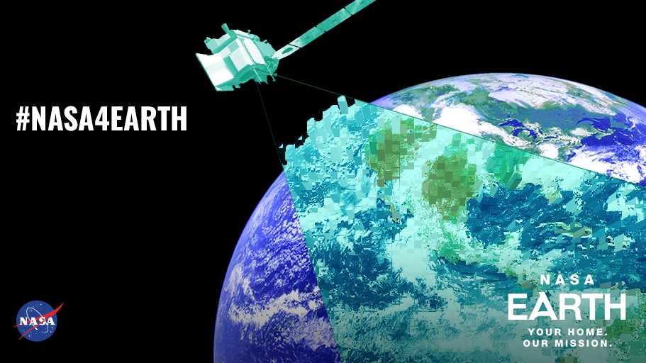
Explore your Earth your way with Worldview today! #NASA4Earth
https://worldview.earthdata.nasa.gov
Learn more about Earth Day: www.nasa.gov/earthday.
Worldview is an open source project at NASA. All data, software and services are freely available to anyone for any purpose. You can participate in the software development by visiting https://github.com/nasa-gibs/worldview.
This video is public domain and can be downloaded from the Scientific Visualization Studio.