![Request for Information – Potential [Placeholder for Prize]](https://assets.science.nasa.gov/dynamicimage/assets/science/missions/a-step/FFR_Earth_Background_20251120%20.png?w=1024)


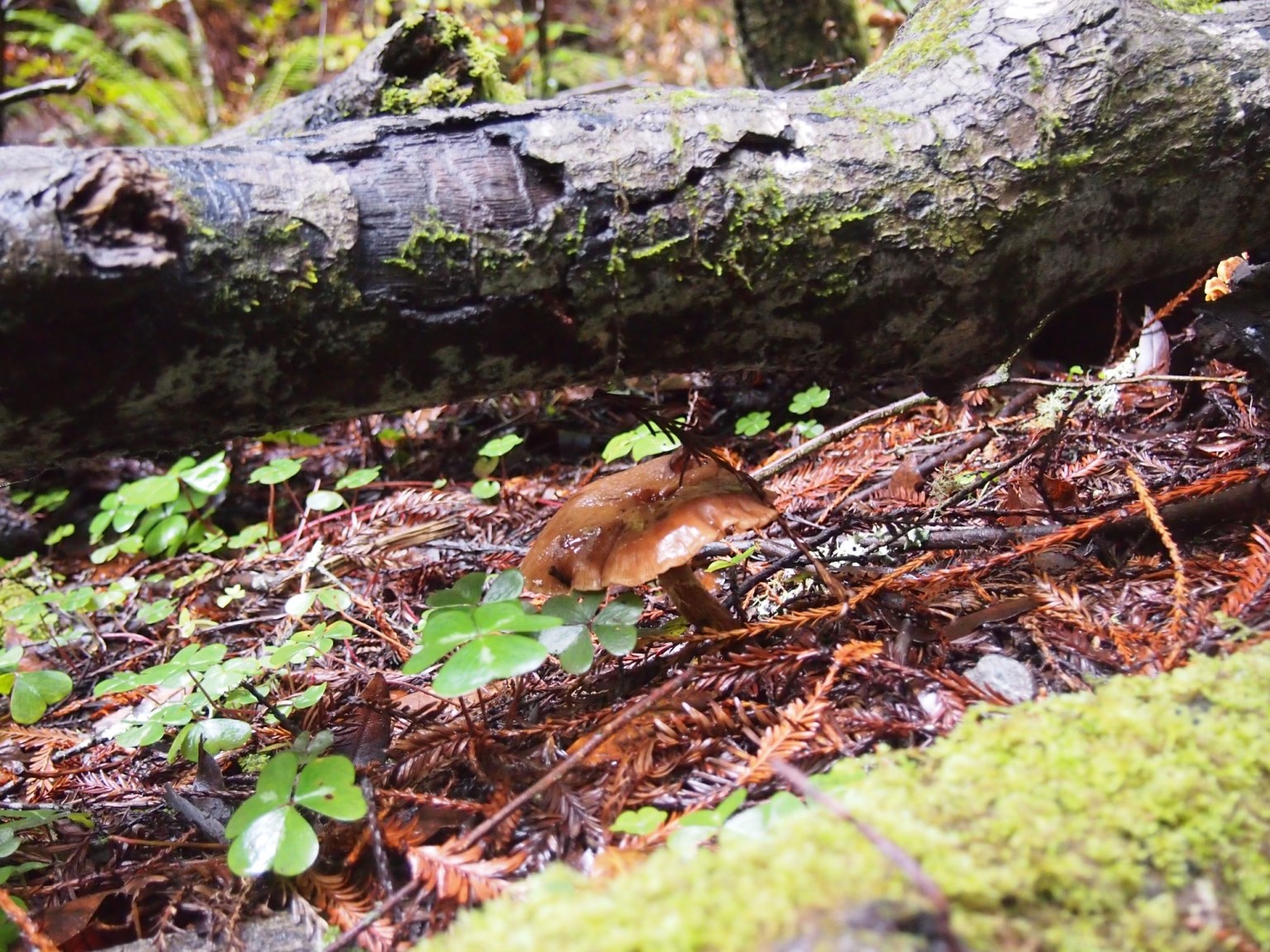
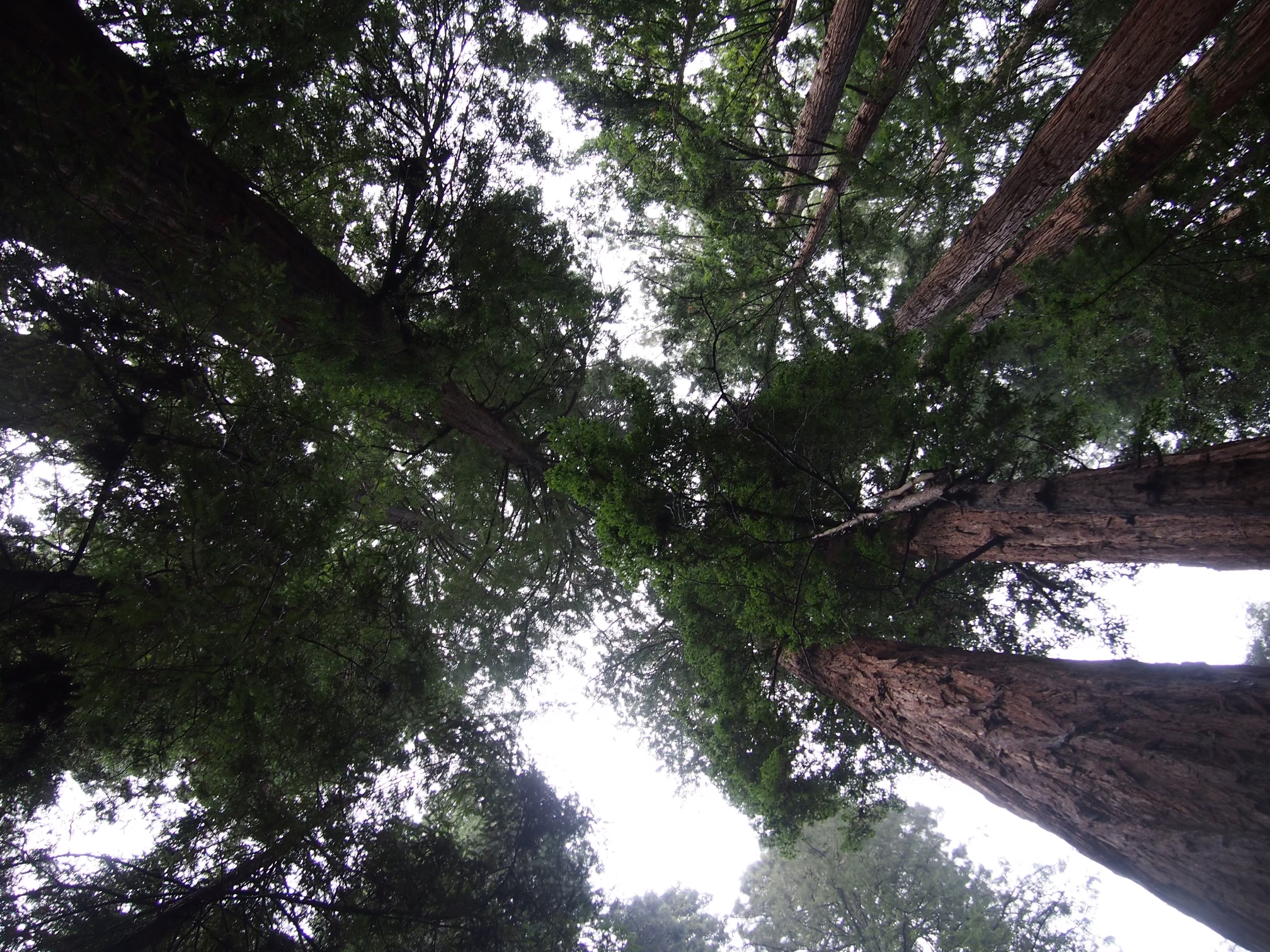
Century-old sugar maples in Wisconsin. Five-hundred-year-old cedars in Oklahoma. Fifty-foot-wide oaks in Georgia. These trees grace our nation’s old-growth forests, and scientists say they hold unexplored mysteries from their roots to their rings.
In an effort to steward these resources, on Earth Day 2022 the Biden Administration called upon the Department of Agriculture and the Bureau of Land Management to define and map such forests on federal lands. A year later, that work has yielded a first-ever national inventory of mature and old-growth forests – broadly characterized as forests at an advanced stage of development. And with some help from NASA, the public will soon be able view some of these forests like never before.
Credits: Kel Elkins/ NASA’s Goddard Space Flight Center
Download high-resolution video and images from NASA’s Scientific Visualization Studio
The nation’s old-growth forests encompass different tree species in different regions, from towering redwoods and 5,000-year-old bristlecone pines to diminutive pinyon junipers whose age and grandeur are less immediately obvious. For decades the Forest Service has studied such trees in hundreds of thousands of plots across the country, but the agency has never issued a formal accounting until now. To identify and define such forests, the team analyzed decades of field-gathered data from a wide variety of forest types and ecological zones, while also collecting public input in the process.
America’s forests help absorb more than 10% of our annual greenhouse gas emissions. While younger vegetation accumulates carbon more rapidly, old-growth forests contain more biomass overall and store more carbon. Not only are these ecosystems essential to the country’s clean air and water, they hold special significance to Tribal Nations, they sustain local economies, and they conserve biodiversity.
Complementing the Forest Service’s boots-on-the-ground research, some NASA-funded scientists are using a space-based instrument called GEDI (Global Ecosystem Dynamics Investigation) to provide a detailed picture of these forests. From its perch on the International Space Station, GEDI’s laser imager (lidar) is able to peer through dense canopies to observe nearly all of Earth’s temperate and tropical forests. By recording the way the laser pulses are reflected by the ground and by plant material (stems, branches, and leaves) at different heights, GEDI makes detailed measurements of the three-dimensional structure of the planet’s forests and fields. It can even estimate the weight, height, and vertical structure of trees.
“The partnership with NASA will help us do analyses we have not been able to do in the past,” said Jamie Barbour, who leads the old-growth initiative for the Forest Service. “From space, we’ll be able to drill down and learn about so many more places.”
Old Trees, Enduring Threats
Substantial portions of U.S. old-growth forests have been lost in recent centuries, researchers have reported. Logging greatly altered the forests that Europeans found when they came to North America, while invasive insects and diseases have more recently ravaged important tree species. Surviving forests also face a new generation of threats, including climate change-fueled wildfires, heavy rainfall events, and chronic temperature and drought stress.
Species like the American beech, eastern hemlock, American elm, and ash have been vastly diminished, said Neil Pederson, an ecologist and tree-ring specialist (dendrochronologist) at Harvard University. He said that conserving what’s left is critical if we’re going to continue to make fundamental discoveries about trees, such as how long they live and why, and what they can tell us about Earth’s past.
“This project is challenging us to really take a step back and think about why these older forests matter to us and how we can be more proactive about addressing the issues they face,” said Marin Palmer, technical team lead for the Forest Service. “We sometimes imagine these forests have never been touched by humans, but we have to look further back in history and understand that indigenous people were intentionally managing their forests for millennia. When we think about the threat climate change poses, it becomes a larger conversation about the need to be active stewards in our landscapes and ecosystems.”
Tree rings are a data record of Earth’s climate, and they teach us things that we don’t typically learn about in textbooks, Pederson said. “In the United States, our best meteorological records are only about 130 years old,” he said. “Living and fossil trees allow us to reconstruct temperature and precipitation history across hundreds or thousands of years, helping us better understand drought and wet periods.”
Credits: NASA’s Goddard Spaceflight Center
Download high-resolution video and images from NASA’s Scientific Visualization Studio
The Forest Service will continue to work alongside partners like NASA to gather aerial and satellite imagery and map mature and old growth at finer scales. Such data can also help the Forest Service create a long-term monitoring system. Meanwhile, a team of interagency experts will analyze and assess threats and risks to these areas.
GEDI collected four years of forest observations around the world, before recently entering hibernation on the International Space Station. Extension of the GEDI mission is currently under discussion, and if the extension is approved, it is expected that monitoring of mature and old-growth forests will resume when it returns to service within two years.
“It’s a really a revolutionary time we’re living in right now with all these different sets of remote sensing data that are already in space or going into space,” said Ralph Dubayah, a professor at the University of Maryland and principal investigator of the GEDI mission. “This is radically changing how we go forward in these kinds of endeavors.”
By Sally Younger
Earth Science News Team
NASA’s Jet Propulsion Laboratory, Pasadena, Calif.
sally.m.younger@jpl.nasa.gov
Media contact:
Jacob Richmond
Goddard Space Flight Center, Greenbelt, Md.
301-286-0535 jacob.a.richmond@nasa.gov