NASA is launching the first two of six small satellites no earlier than June 12 that will study the formation and development of tropical cyclones almost every hour – about four to six times more often than is possible with current satellites. This is the first of three CubeSat launches for NASA’s Time-Resolved Observations of Precipitation structure and storm Intensity with a Constellation of Smallsats (TROPICS) mission. The remaining satellites will be placed into their orbits during two subsequent launches this year. If successful, the TROPICS satellites will be spread across three orbital planes to cover more of the globe more frequently.
“TROPICS will give us very frequent views of tropical cyclones, providing insight into their formation, intensification, and interactions with their environment and providing critical data for storm monitoring and forecasting,” said Scott Braun, research meteorologist at NASA’s Goddard Space Flight Center in Greenbelt, Maryland.
Credits: NASA
Collectively, the weather satellites currently in low-Earth orbit – such as NOAA-20, the joint NASA and National Oceanic and Atmospheric Administration Suomi NPP satellite, and others from NASA’s partners – revisit a storm once every four to six hours. “So we’re missing a lot of what’s happening in the storm,” explained Bill Blackwell, principal investigator for the TROPICS mission and a researcher at the Massachusetts Institute of Technology Lincoln Laboratory in Lexington, Massachusetts. The TROPICS constellation will give scientists more frequent updates, complementing the data collected by existing low-Earth orbit weather satellites and allowing scientists to see each storm from beginning to end.
Three launches will place the six satellites in pairs across three slightly different low-Earth orbits, all at an angle near 30 degrees above the equator. This will maximize the amount of time the satellites spend passing over the part of Earth where most tropical cyclones form – a horizontal band stretching from about the Mid-Atlantic region of the United States to the southern coast of Australia, roughly between 38 degrees north and south latitudes. Ideally, one of the TROPICS satellites will pass over any given area within that band about once an hour.
All matter – including water vapor, oxygen, and clouds in the atmosphere – emits energy as heat and light, a phenomenon known as Planck’s Law. Each of the TROPICS satellites has an instrument called a microwave radiometer that measures these atmospheric emissions. The sensors make passive measurements similar to those made by the Advanced Technology Microwave Sounder (ATMS) instruments on current low-Earth orbit weather satellites.
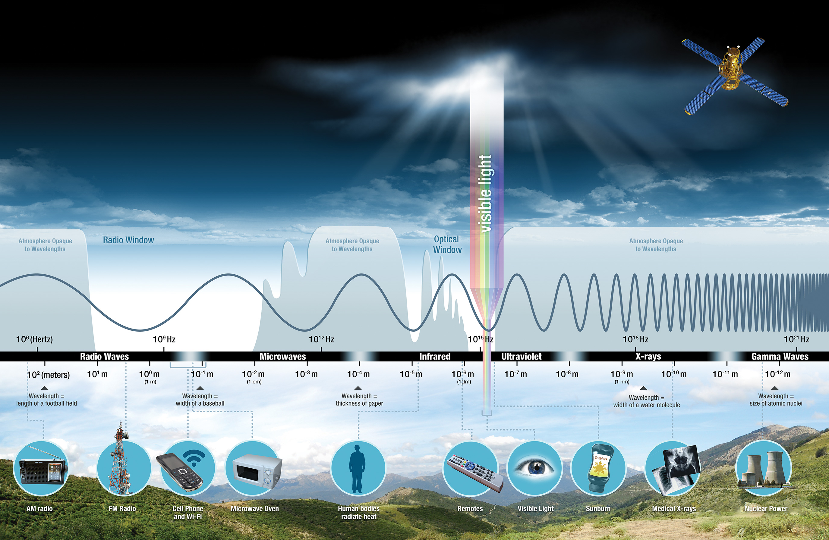
The microwave radiometer aboard each TROPICS satellite measures microwave frequencies ranging from about 90 to 205 gigahertz. These frequencies tell scientists about the temperature, precipitation, moisture and other characteristics of the storm and surrounding atmosphere. The amount of heat and light – or radiance – at these frequencies comes from different altitudes, allowing the TROPICS satellites to create three-dimensional images of the cyclones’ environments. The frequencies TROPICS uses are also very sensitive to characteristics of ice and clouds, which will help meteorologists study how tropical cyclones develop and intensify. However, TROPICS’ frequencies are less sensitive to the temperature and moisture below the clouds – something the ATMS instruments aboard the NOAA-20 and Suomi-NPP satellites excel at. Together, the data from TROPICS and current weather satellites will help scientists refine their understanding of tropical cyclones.
“With the TROPICS constellation, we’ll have much more frequent observations of tropical cyclones, and in wavelengths that can help us understand thermodynamic structure in the eye and in the storm environment,” said Blackwell.
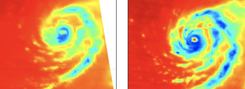
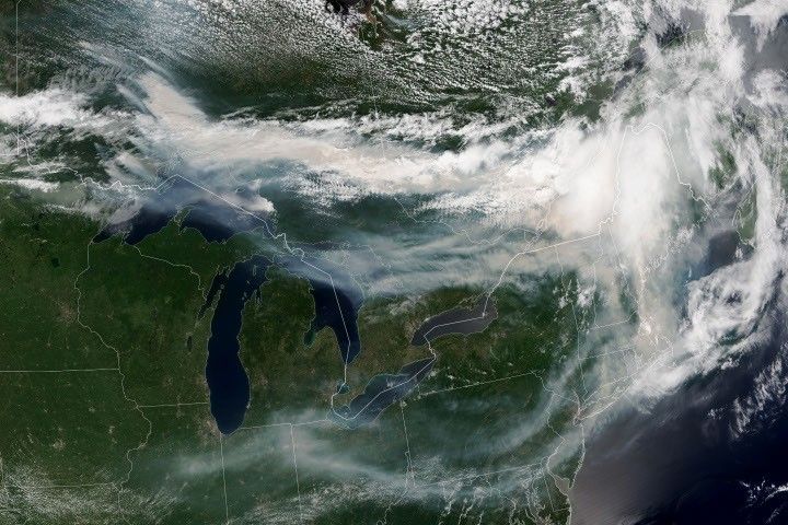
If all goes according to plan, the six TROPICS satellites will join the TROPICS Pathfinder satellite, a proof-of-concept CubeSat that launched in June of 2021. Since then, the pathfinder has captured images of several tropical cyclones, such as Hurricane Ida over the United States, Cyclone Batsirai over Madagascar, and Super Typhoon Mindulle over eastern Japan. The pathfinder satellite has also provided the TROPICS research team with an opportunity to fine tune the satellites’ software and operational procedures before the constellation launches. In addition, the pathfinder has already been calibrated and will be able to serve as a calibration reference for the rest of the TROPICS satellites. That would help the TROPICS CubeSats start producing useful data quickly.
“The TROPICS team is super excited to get the constellation up and running, especially after the pathfinder’s success,” said Blackwell.
By Sofie Bates
NASA’s Earth Science News Team