


Farmers have always looked to the weather and the progress of their crops to try to predict how the harvest will go, but a new tool uses NASA satellite imagery to take the predictions to a whole new level — to near-perfect, in fact.
“What distinguishes us is, we’re taking the meteorological data and building models that are in some senses similar to more traditional crop forecasting models, but we’re adding the dimension of the space-based observation,” explains TellusLabs cofounder Mark Freidl.
In its first year, the beta version of TellusLabs’ Kernel consistently predicted final 2016 yields on U.S. corn and soy crops ahead of all publicly available in-season forecasts, the company says. And it wasn’t just first, it was also right. Months before harvest, Kernel’s projections were all within 1 percent of the U.S. Department of Agriculture’s actual reported yields, predicting 173.1 bushels per acre, compared to the actual 174.6 bushels per acre.
So, How Does it Work?
NASA has been taking pictures of Earth from space for as long as the space agency has been around — but the earliest grainy pictures of Earth from space come from before the agency was even founded. In 1946, a team of scientists and soldiers launched a rocket from the White Sands Missile Range in New Mexico equipped with a camera set to snap frames every 1.5 seconds.
When NASA was established a dozen years later, it almost immediately began snapping more photos of Earth. These early images are said to have been the inspiration for the Landsat program, which, in 1972 launched the first satellite designed specifically to observe and collect data about Earth’s land surface.
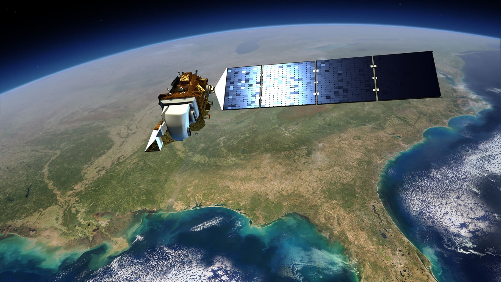
It was followed by numerous successors, including most recently Landsat 8, a NASA collaboration with the U.S. Geological Survey (USGS) that collects data in more spectral bands than ever before. That satellite, now operated by USGS, captures images of the entire planet every 16 days, offset eight days from Landsat 7, which has been in operation since 1999.
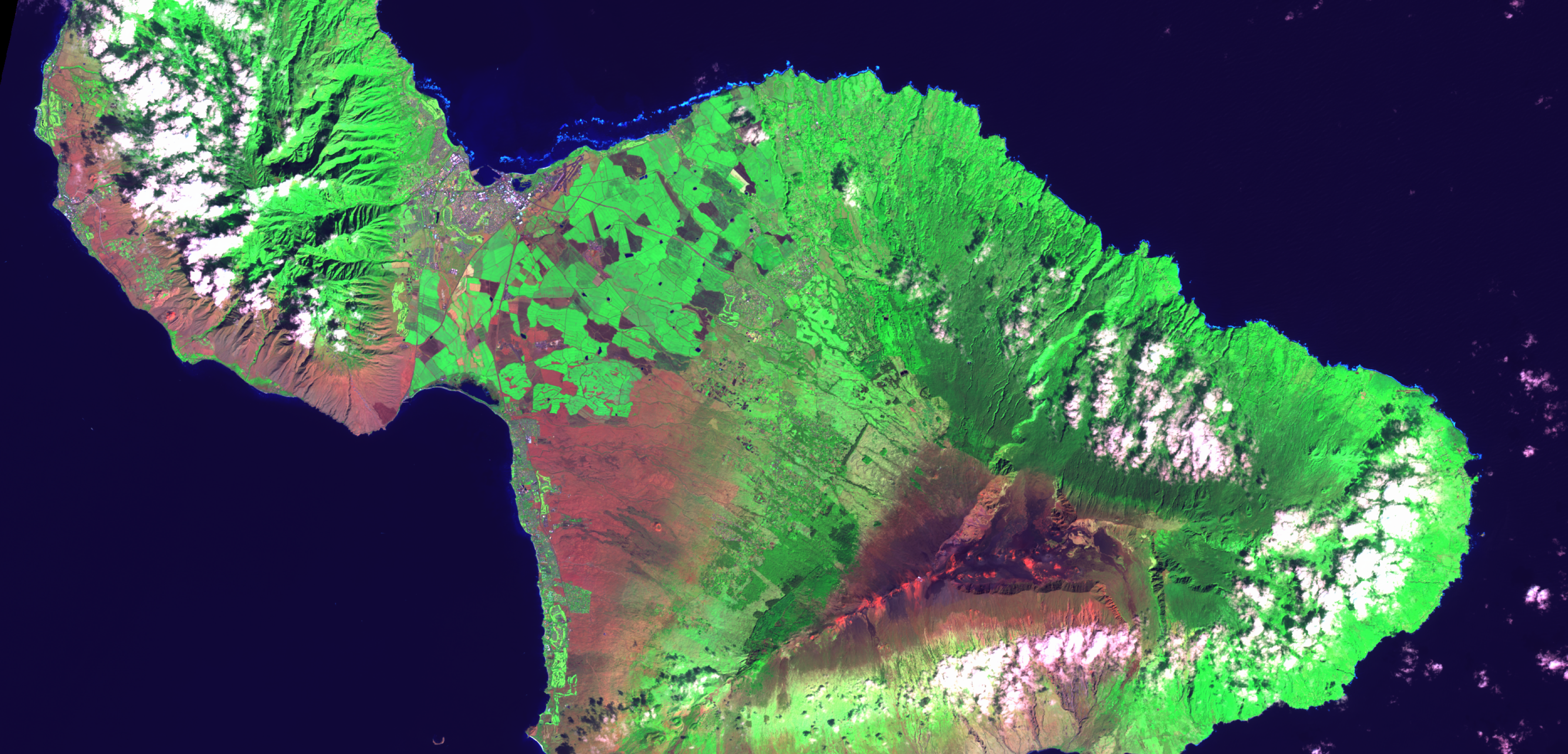
NASA’s Moderate-Resolution Imaging Spectroradiometer (MODIS) instruments, two of which now orbit Earth on separate satellites, also provide high-quality Earth images, covering the entire planet every one to two days and acquiring data in 36 spectral bands.
The Big Picture
The huge trove of data from these decades of Earth-observing missions aren’t just for NASA researchers. The agency also makes the information available to the public. In 2013, NASA teamed up with Amazon Web Services to make the sharing even easier. “They’re hosting the data because they know people will use it,” Freidl says.
The remote sensing scientist, who works in Boston University’s Earth and Environment Department in addition to his work at TellusLabs, is one of those people. His academic work — often involving or funded by NASA — has included mapping global land cover and seasonal variability in growth using MODIS and Landsat imagery.
“This is incredibly valuable data NASA has been collecting over the years, certainly for science but also for a whole range of applications,” he says.
As the quality and capabilities of NASA’s space instruments have improved and historical records continue to get longer, and as the tools to manipulate and analyze the images they capture get more powerful, “that has kind of put us in a different place than we were even five or 10 years ago with respect to these types of data and the types of things we can do with them,” Freidl says.
Knowing the Past to Model the Future
During weekends, evenings and vacation, Freidl and TellusLabs cofounder David Potere built a crop-prediction model that combines current NASA and USGS data streams with historical data and then blends them with a variety of other data sources, including weather models.
Within a year, TellusLabs already had more than 600 subscribers from a wide range of fields. The key groups, the company says, are large institutional investors, individual investors and advisors, and a variety of organizations engaged up and down the agricultural value chain, as well as individual farmers and farming consortia.
“Our thesis right now is that there’s a lot of value in the really high-quality measurements that the space agency missions provide,” Friedl says.
NASA has a long history of transferring technology to the private sector. Each year, the agency’s Spinoff publication profiles about 50 NASA technologies that have transformed into commercial products and services, demonstrating the wider benefits of America’s investment in its space program. Spinoff is a publication of the Technology Transfer Program in NASA’s Space Technology Mission Directorate.
To learn more about this NASA spinoff, read the original article from Spinoff 2018.
For more information on how NASA is bringing its technology down to Earth, visit
Rebecca Carroll
Goddard Space Flight Center in Greenbelt, Md.