


WERK Science Data Products
The WERK project will develop California-tailored science data products. This will include new wildfire severity metrics, enhanced biomass quantification, enhanced tree die-off detection and quantification, and impact and effectiveness assessments. Taken together, the data and information provided will not just assess the current ecological condition of the state, but also inform future decision making about land management as conditions continue to change.
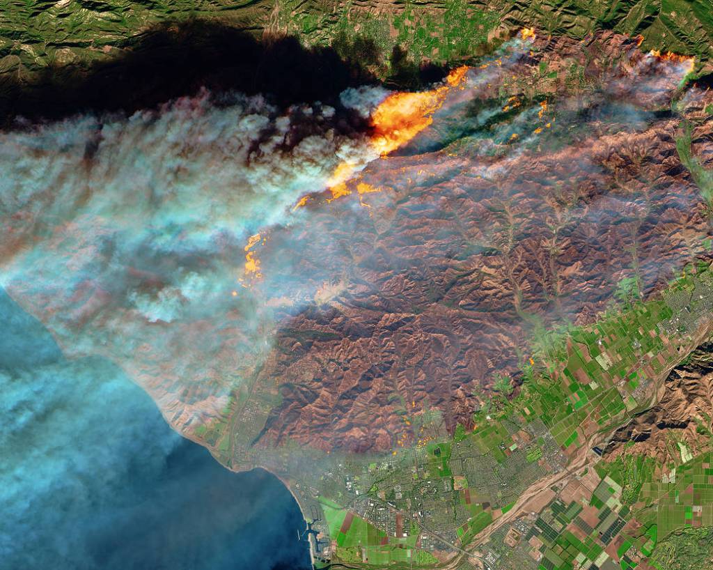
WERK-1: Change Detection and Attribution Product
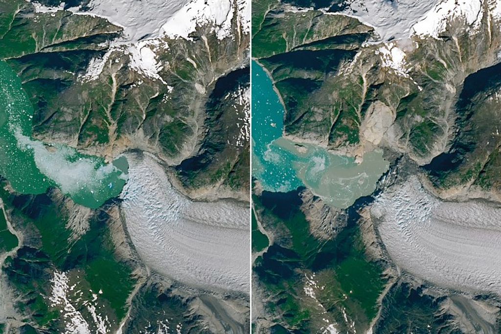
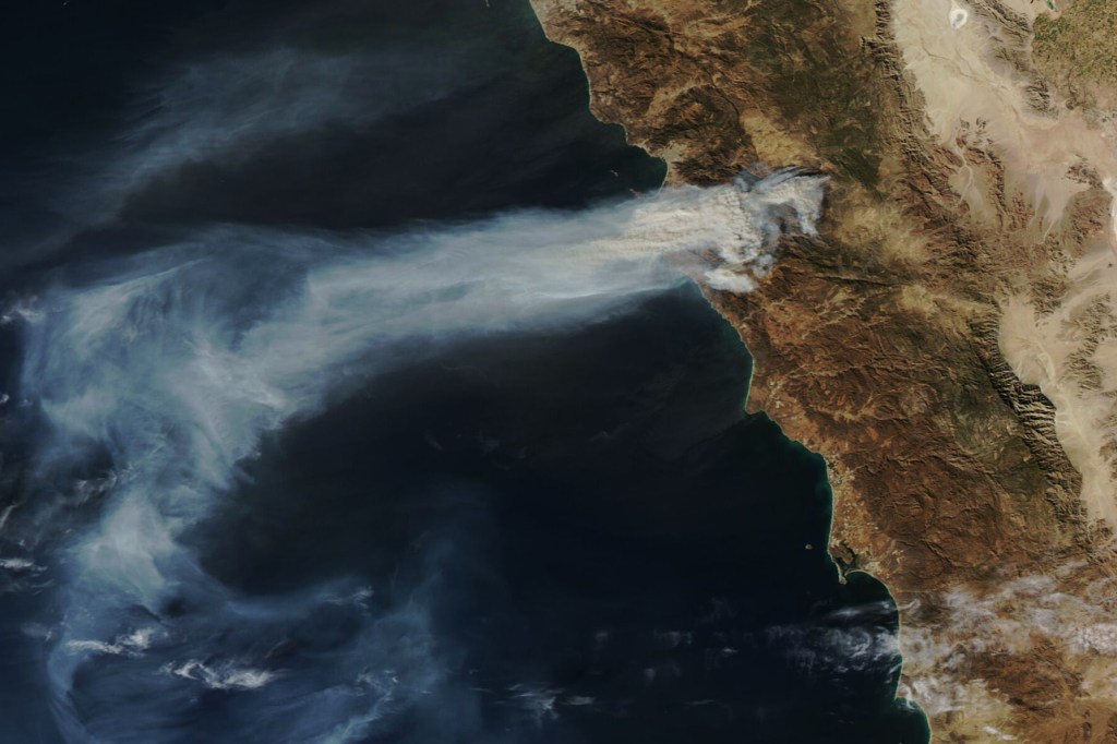
WERK-1 will provide a comprehensive, timely, updatable, and accurate accounting of ecological disturbances and recovery across California, categorized by disturbance type. It will deliver annual maps showing where wildfires, forest management activities, and other disturbances have occurred.
Assessments:
- Annual quantification of area (both footprint area and activity area) of disturbances by disturbance type, ownership, and ecoregions. Summaries of disturbance and management impacts disaggregated by disturbance type, region, socioeconomic groups, and other factors.
- Combine State’s existing management databases (e.g., FACTS, CalMapper, Interagency Treatment Tracking System) with remote sensing data products to enhance tracking state-wide treatment activities.
Product Specifications:
| CHARACTERISTIC | DESCRIPTION | NOTE |
|---|---|---|
| Spatial Extent | Statewide | Wall-to-wall |
| Temporal Extent | Landsat: 2000 – Present Sentinel-2: 2016 – Present | Model spinning may impact on the start year |
| Temporal Resolution | Annual | May vary depending on state needs |
| Spatial Resolution | Landsat: 30 meter Sentinel-2: 10 meter | |
| Data Format | Raster | |
| Key Data Layers/Attributes | Time of disturbance Disturbance agent Magnitude of change | The magnitude of change in each spectral band can be used to derive changes in spectral metrics, e.g., ΔNDVI, ΔEVI, ΔNBR |
| Planned Release | Fall 2026 | |
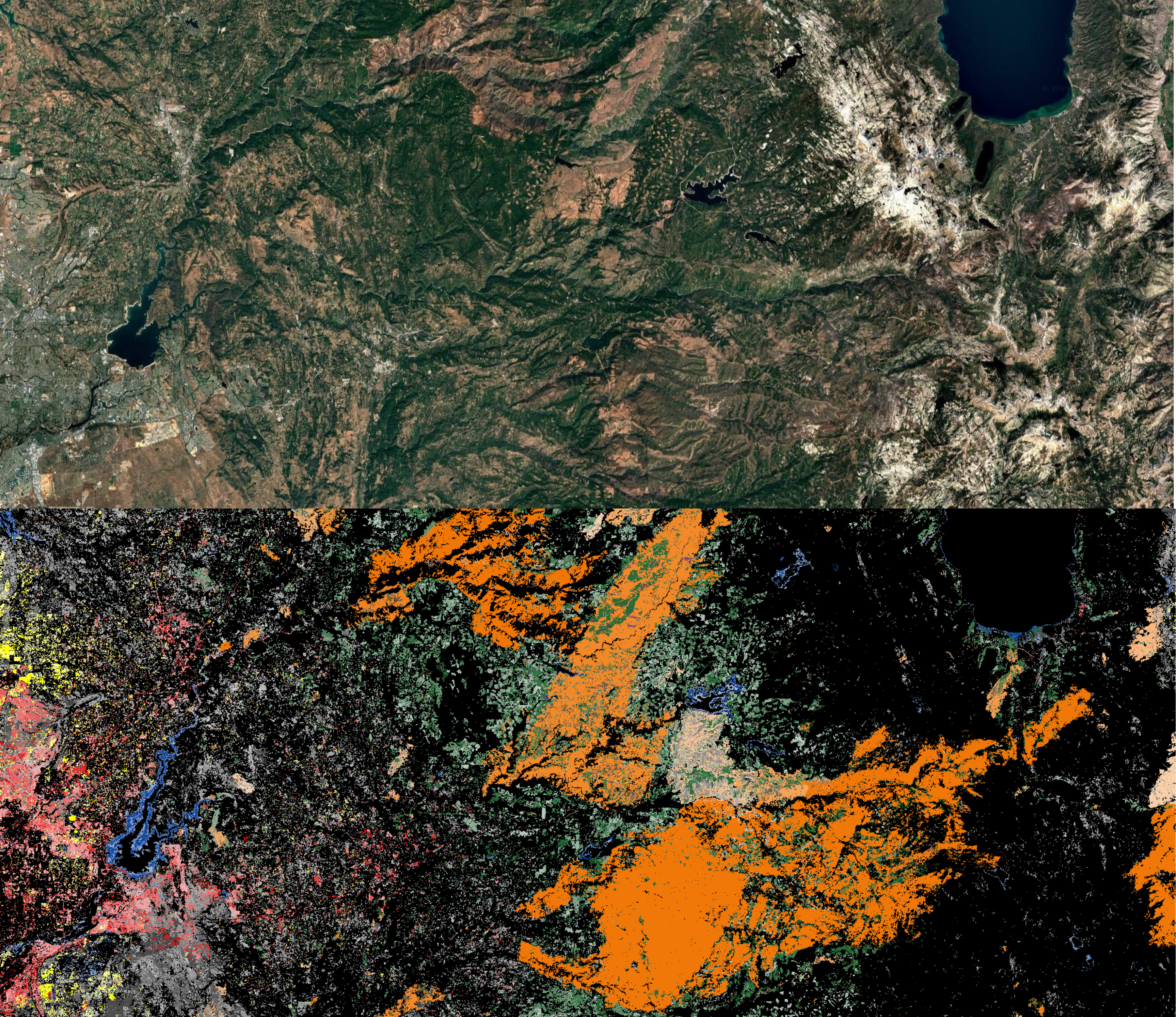
WERK-2: Land Cover Classification & Mapping Product

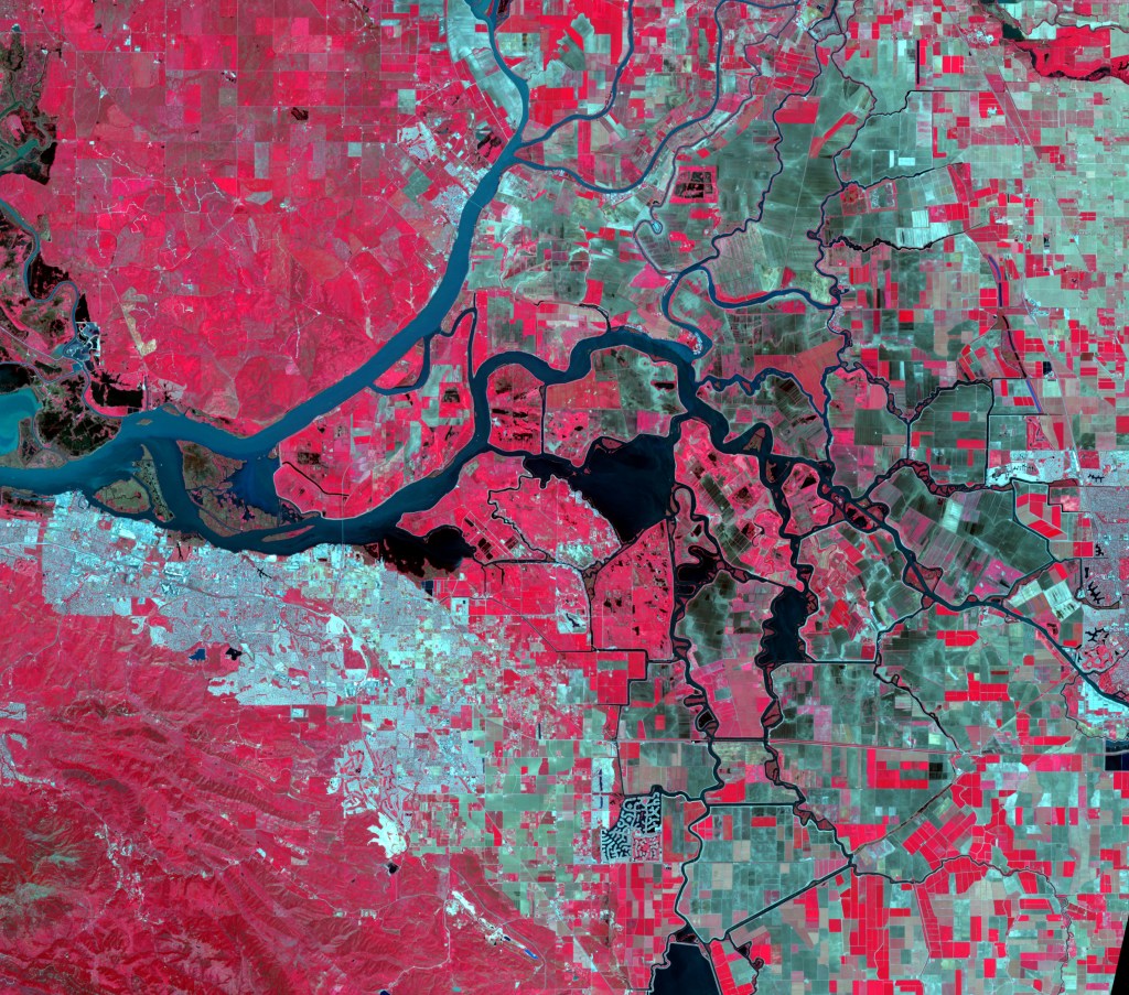
WERK-2 will develop updatable, high-resolution land cover classification maps of the six most common land cover types, to improve our understanding of landscape changes throughout California.
Assessments:
- Analyze temporal changes in land cover and assess its spatiotemporal consistency on local to statewide scales.
- Assess performance of high spatial-resolution land cover compared to existing medium-resolution land cover products (e.g., NLCD, LANDFIRE).
Product Specifications:
| CHARACTERISTIC | DESCRIPTION | NOTE |
|---|---|---|
| Spatial Extent | Statewide | Wall-to-wall |
| Temporal Extent | 2018-Present | NAIP is the primary input data |
| Temporal Resolution | Biennially | May be available more frequently as data allows |
| Spatial Resolution | 0.6 meters | |
| Data Format | Raster | |
| Key Data Layers/Attributes | Land cover type | Tree height shall be available when LiDAR and NAIP3D are available. |
| Planned Release | Fall 2026 | |
WERK-3: Individual Tree Monitoring Product
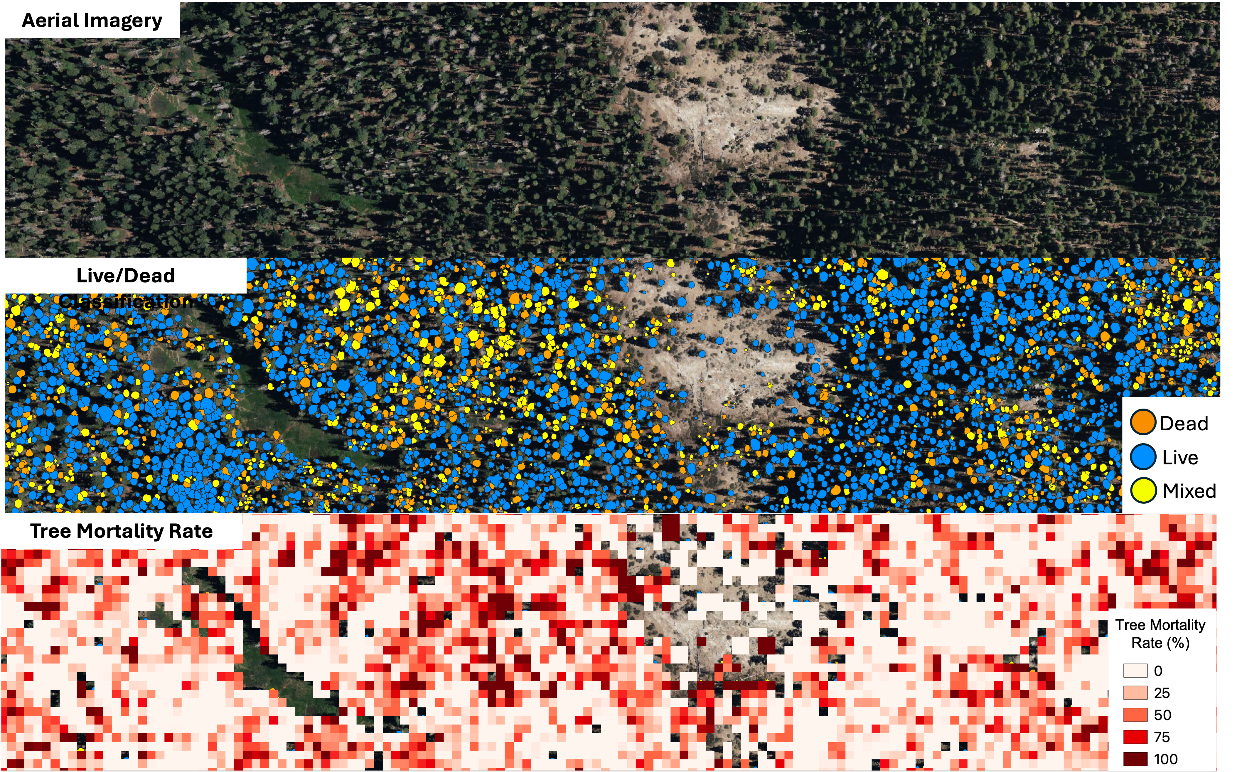
WERK-3 will develop updatable, comprehensive tree canopy maps, with the ability to differentiate between live and dead trees. This will improve our understanding of how disturbances such as drought and fire impact California’s forest ecosystems.
Assessments:
- Quantify tree density by live/dead status, disaggregated by regions, ownerships, jurisdictions, and/or eco/forest types.
- Assess uncertainties of individual tree detection and live/dead tree classification for better decision support.
Product Specifications:
| CHARACTERISTIC | DESCRIPTION | NOTE |
|---|---|---|
| Spatial Extent | Statewide | Wall-to-wall |
| Temporal Extent | 2018-Present | NAIP is the primary input data |
| Temporal Resolution | Biennially | |
| Spatial Resolution | 0.6 meters | |
| Data Format | Vector & Raster | |
| Key Data Layers/Attributes | Individual tree crown boundary Individual tree crown area (m2) Individual tree height (m) Individual tree live/dead status Tree density (trees/hector) Fraction of tree mortality | Tree height shall be available when LiDAR and NAIP3D are available. |
| Planned Release | Fall 2026 | |
WERK-4: Built Structure Mapping Product
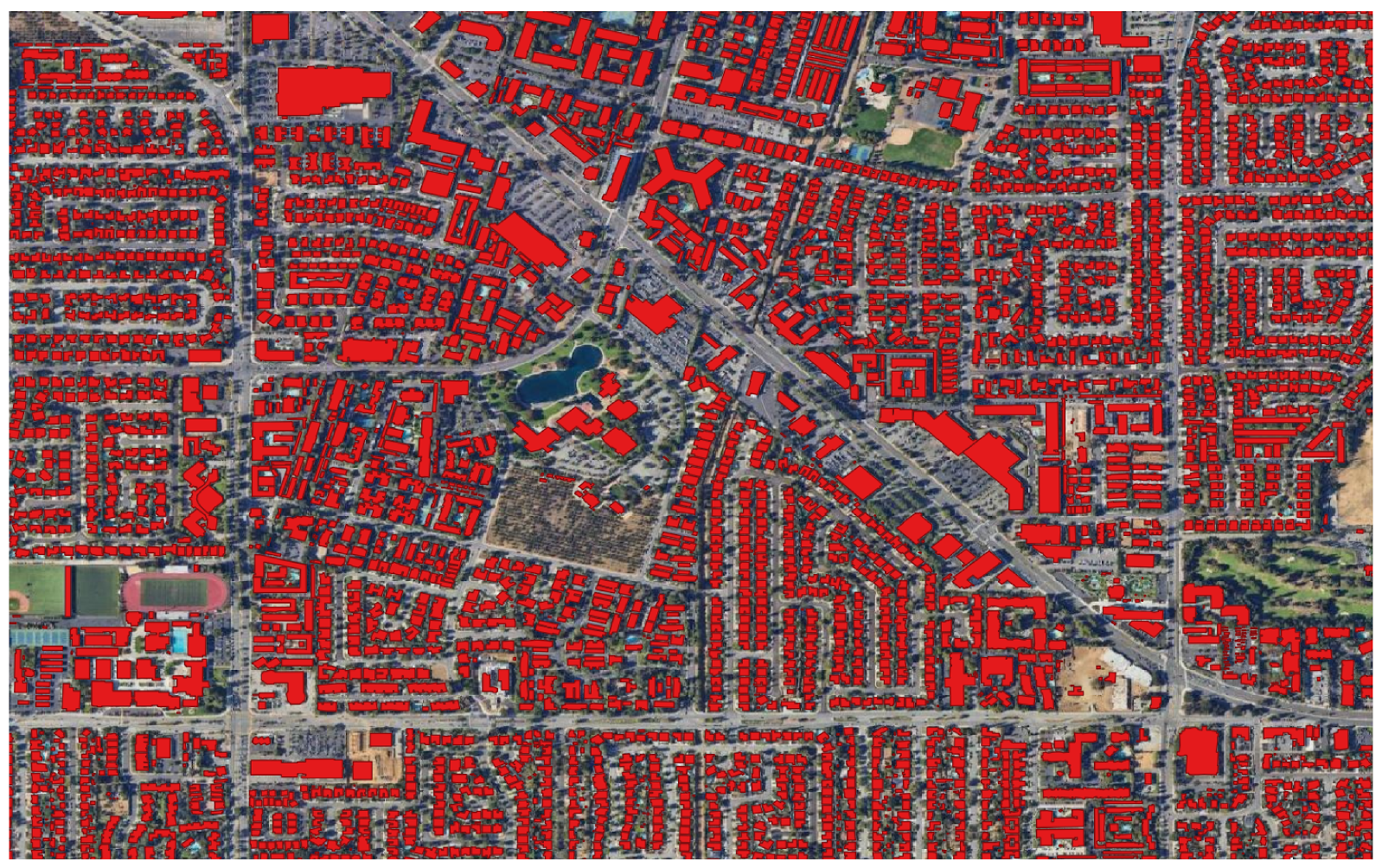
WERK-4 will develop comprehensive, updatable structure maps, tracing the area, height, and volume of structures across the state (habitable dwellings, accessory structures, and industrial/commercial buildings). This will enable buildings to be accounted for in state-level decision making, including the estimation of fire emissions and various land use applications.
Assessments:
- Analyze built structure distribution and its changes, disaggregated by region and/or jurisdiction and disturbance type.
- Explore the potential for enhanced building structure mapping (e.g., structure height and volume) given additional 3D data resources (e.g., LiDAR & NAIP3D).
Product Specifications:
| CHARACTERISTIC | DESCRIPTION | NOTE |
|---|---|---|
| Spatial Extent | Statewide | Wall-to-wall |
| Temporal Extent | 2018-Present | NAIP is the primary input data |
| Temporal Resolution | Biennially | |
| Spatial Resolution | 0.6 meters | |
| Data Format | Vector & Raster | |
| Key Data Layers/Attributes | Structure footprint Structure footprint area (m2) Structure mean height (m) Structure volume (m3) | Structure height and volume will be available when LiDAR and NAIP3D data are available. |
| Planned Release | Fall 2026 | |
WERK-5: WERK-Wide Analysis & Assessment Products

These analysis and assessment products will incorporate the four products listed above, together with additional outside data sources, to generate new insights and data products.
Assessments:
- Enhanced statewide aboveground biomass and its change assessment (WERK 1, 2, 3, and external data)
- Enhanced fire severity assessment (WERK 1, 2, 4)
- Enhanced tree die-off detection/quantification and investigation of its underlying drivers (WERK 1, 3)
- Enhanced assessment of forest management impacts on aboveground biomass
- Assessment of interactions between disturbance (type and magnitude), forest management, stand density, and heterogeneity (WERK 1, 3)
- Enhanced vegetation proximity analysis for built structure and utility distribution lines (WERK 2, 3, 4, and external data).
- Assessment of land management impact and effectiveness in targeted ecological domains at relevant scales and thematic areas (WERK 1-4, and external data).
Product Specifications:
| CHARACTERISTIC | DESCRIPTION | NOTE |
|---|---|---|
| Spatial Extent | Statewide | Wall-to-wall |
| Temporal Extent, Temporal/Spatial Resolution, Data Format | Detailed data specification for each assessment product will be determined down the road. | |
| Planned Release | Winter 2027-Summer 2028 | |
Additional analyses may be sought to support additional monitoring questions related to forest health, wildlife habitat, drought vulnerability, timber volume and value, and the like.