


Featured News


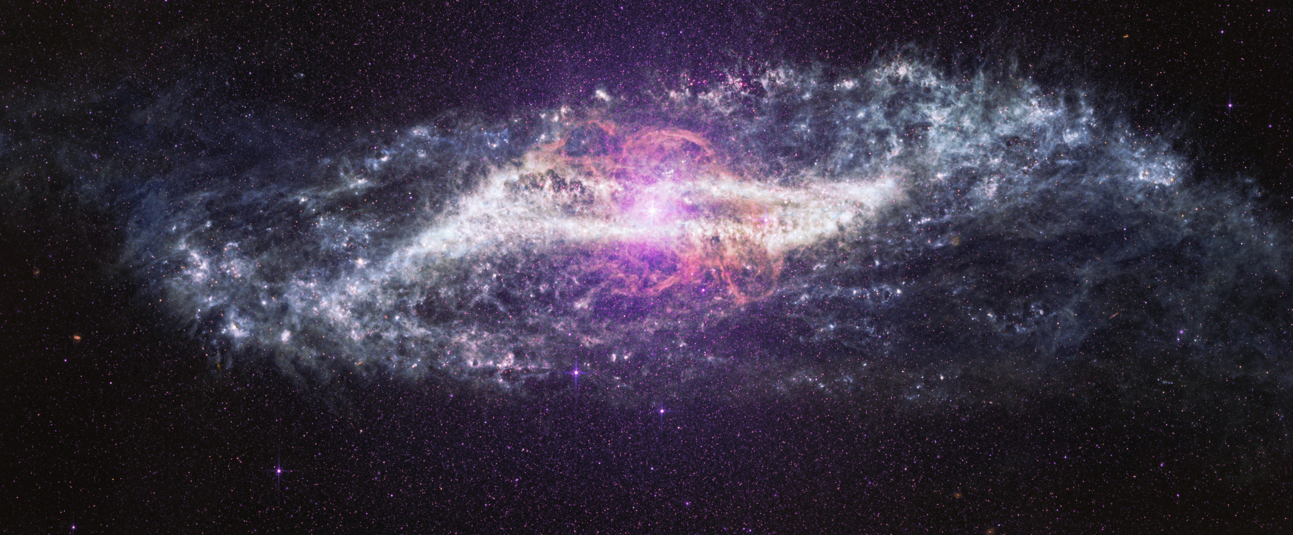

Surviving a Dying Star
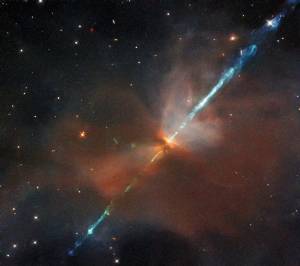
Billions of years ago, a sun-like star nearing the end of its life swelled tremendously in size to become a red giant before ejecting its outer layers, leaving a hot remnant core known as a white dwarf. As a red giant, the star should have engulfed and destroyed any nearby planets. Yet astronomers have discovered a Jupiter-sized exoplanet orbiting the white dwarf every 34 hours.
Learn More about Surviving a Dying Star
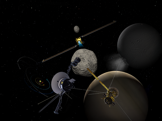
Welcome to the Universe


Today
Image Of The Day
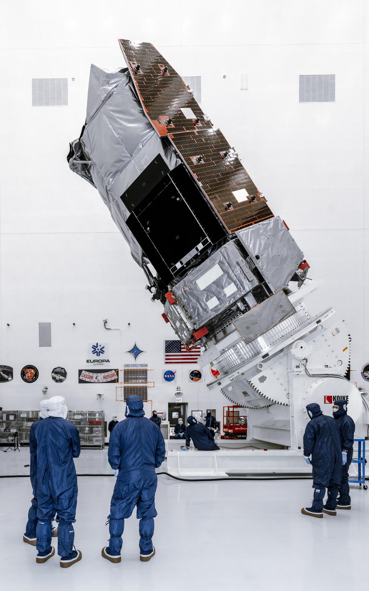
NASA Takes Flight For America’s 250th
NASA Administrator Jared Isaacman leads a flyover featuring his personally owned F-5 Tiger during the Great American State Fair on July 4, 2026, on the National Mall in Washington, D.C.

More NASA Images


Explore the Universe from your Inbox
Stay up-to-date on the latest news from NASA–from Earth to the Moon, the Solar System and beyond.
We will never share your email address.

Freedom 250
NASA Celebrates America’s 250th Birthday
Our spirit of adventure and innovation will raise our nation to new heights.
From the earliest days of exploration, to the first steps on the Moon and the missions shaping our future, NASA represents the spirit of discovery that defines our nation. As the United States approaches its semiquincentennial, Freedom 250 highlights how innovation, courage, and scientific leadership have carried America forward — and how NASA continues to expand the frontier for the next generation.
Learn More about NASA Celebrates America’s 250th Birthday


