Simulated ocean salinity data for NASA's Aquarius instrument. Aquarius, launching this June aboard the international Aquarius/SAC-D observatory, will map the salinity of the surface of the global ice-free ocean every seven days for at least three years, providing data on a key missing variable in Earth satellite studies that links ocean circulation
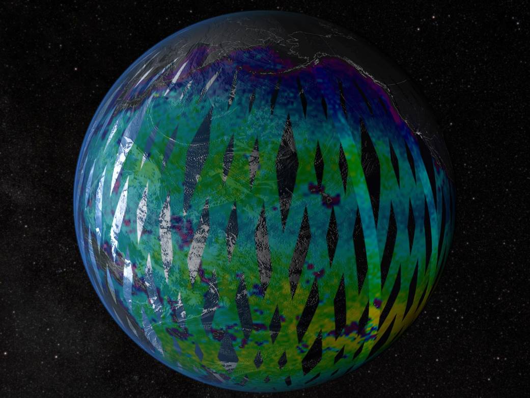
Simulated ocean salinity data for NASA’s Aquarius instrument. Aquarius, launching this June aboard the international Aquarius/SAC-D observatory, will map the salinity of the surface of the global ice-free ocean every seven days for at least three years, providing data on a key missing variable in Earth satellite studies that links ocean circulation, the water cycle and climate.
Image credit: NASA

