


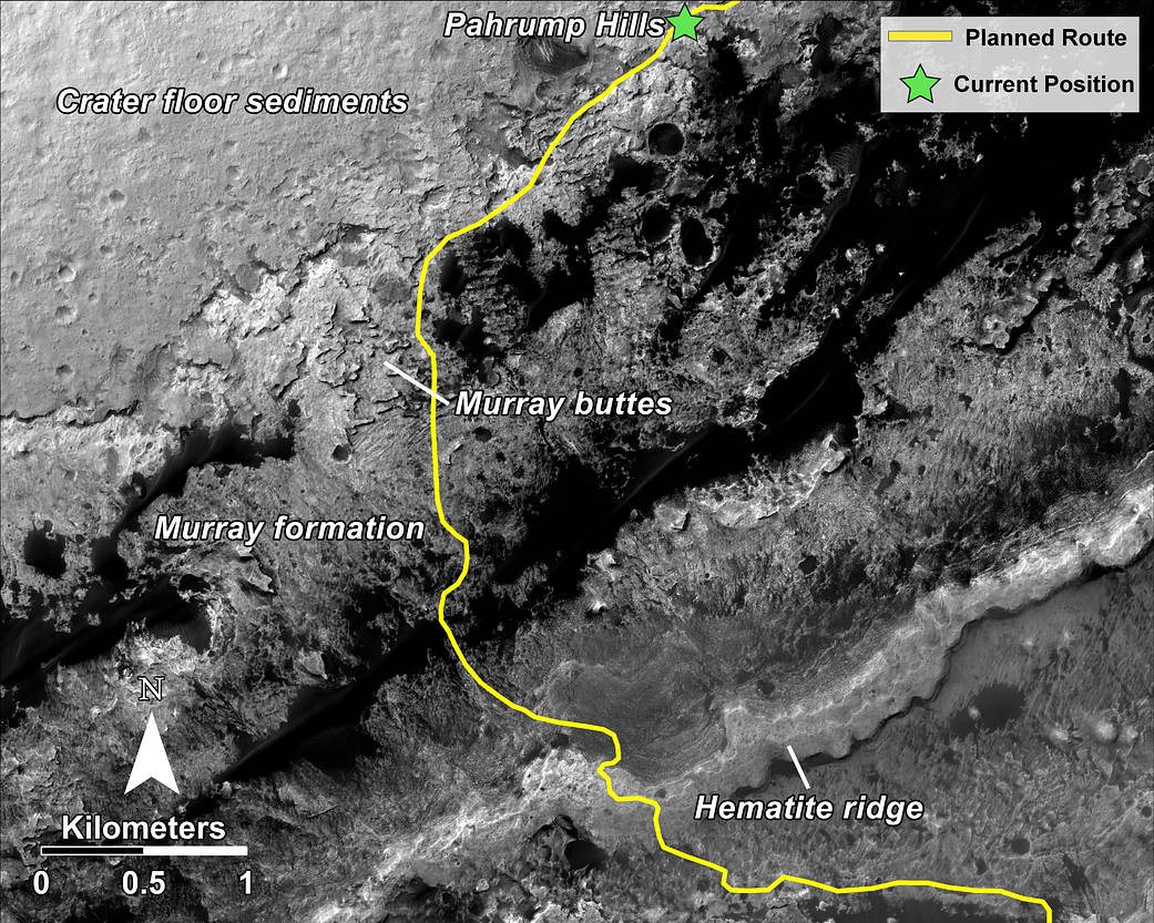
This mosaic, taken with the High Resolution Imaging Science Experiment (HiRISE) camera on NASA’s Mars Reconnaissance Orbiter, shows the planned route (in yellow) of NASA’s Curiosity rover from “Pahrump Hills” at the base of Mount Sharp, through the “Murray Formation,” and south to the hematite ridge further up the flank of Mount Sharp.
HiRISE is one of six instruments on NASA’s Mars Reconnaissance Orbiter. The University of Arizona, Tucson, operates HiRISE, which was built by Ball Aerospace & Technologies Corp., Boulder, Colorado. NASA’s Jet Propulsion Laboratory, a division of the California Institute of Technology in Pasadena, manages the Mars Reconnaissance Orbiter and Mars Science Laboratory projects for NASA’s Science Mission Directorate, Washington.
Image Credit: NASA/JPL-Caltech/Univ. of Arizona