


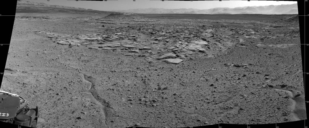
NASA’s Curiosity Mars rover recorded this view of various rock types at a waypoint called “the Kimberley” shortly after arriving at the location during the 589th Martian day, or sol, of the rover’s work on Mars (April 2, 2014). The Kimberley was selected in 2013 as a major waypoint for the mission because of the diversity of rock types distinguishable in orbital images, exposed close together at this location in a decipherable geological relationship to each other.
The outcrop at the center of the image is a category that the rover team scientists call “striated,” from its appearance in images taken from orbit before the rover reached this area. Farther in the distance, the striated type is overlain by other types. On the horizon, slopes of Mount Sharp — the mission’s long-term destination — are on the left and the rim of Gale Crater is on the right.
Curiosity’s Navigation Camera (Navcam) took the component images of this mosaic. The scene spans from south-southwest at left to west-northwest at the right. It is presented here as a cylindrical projection.
NASA’s Jet Propulsion Laboratory, a division of the California Institute of Technology, Pasadena, manages the Mars Science Laboratory Project for NASA’s Science Mission Directorate, Washington. JPL designed and built the project’s Curiosity rover and the rover’s Navcam.
Credit: NASA/JPL-Caltech