


Audience
Educators
Grade Levels
Grades K-4, Grades 5-8
Subject
Earth Science, Technology, Weather and Climate, Remote Sensing, Satellites
Type
Lesson Plans / Activities, Play and Learn, Coloring and Puzzles
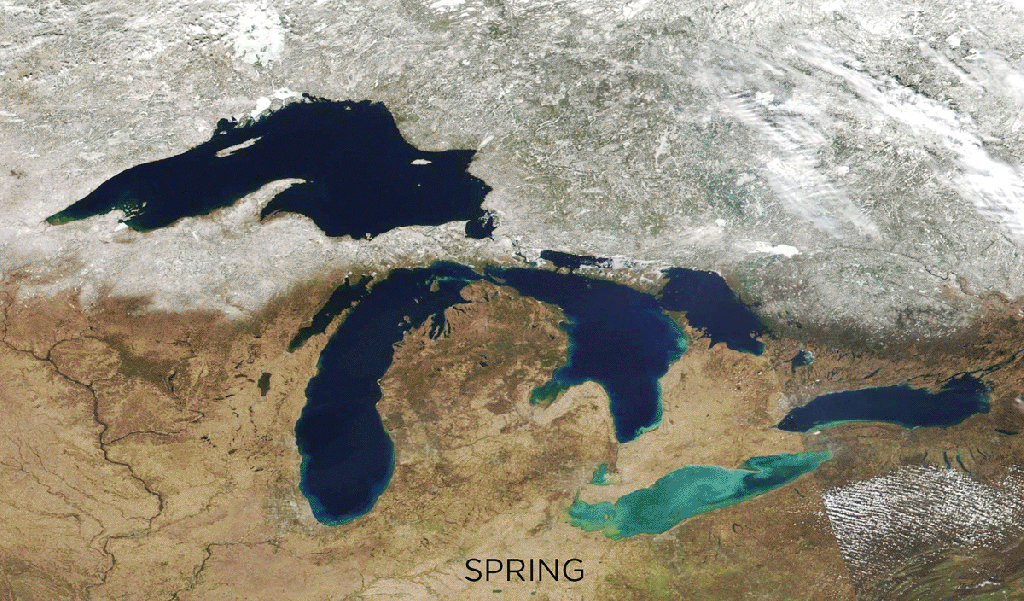
Nestled between Canada and the United States, the Great Lakes are an important landmark that can be seen by NOAA and NASA’s Joint Polar Satellite System (JPSS) satellites. Use satellite images of these impressive bodies of water to spark a conversation about meteorological and astronomical seasons. Explore the differences in these terms and then piece together puzzles featuring JPSS imagery taken at different times of the year.