


West Africa
Leveraging Earth Observations in Pursuit of Sustainable Development
In 2016, USAID and NASA announced SERVIR’s expansion with SERVIR West Africa, implemented by the Permanent Inter-State Committee for Drought Control in the Sahel (CILSS) subsidiary, the Agrometeorology, Hydrology and Meteorology (AGRHYMET) Regional Center, and its consortium partners, with support from Tetra Tech, Inc.
On March 15, 2022, a cooperative agreement to implement Phase II of SERVIR West Africa was awarded to the International Crops Research Institute for the Semi-Arid Tropics (ICRISAT), as lead organization for the consortium. This agreement extends SERVIR’s activities in the region for the next five years.
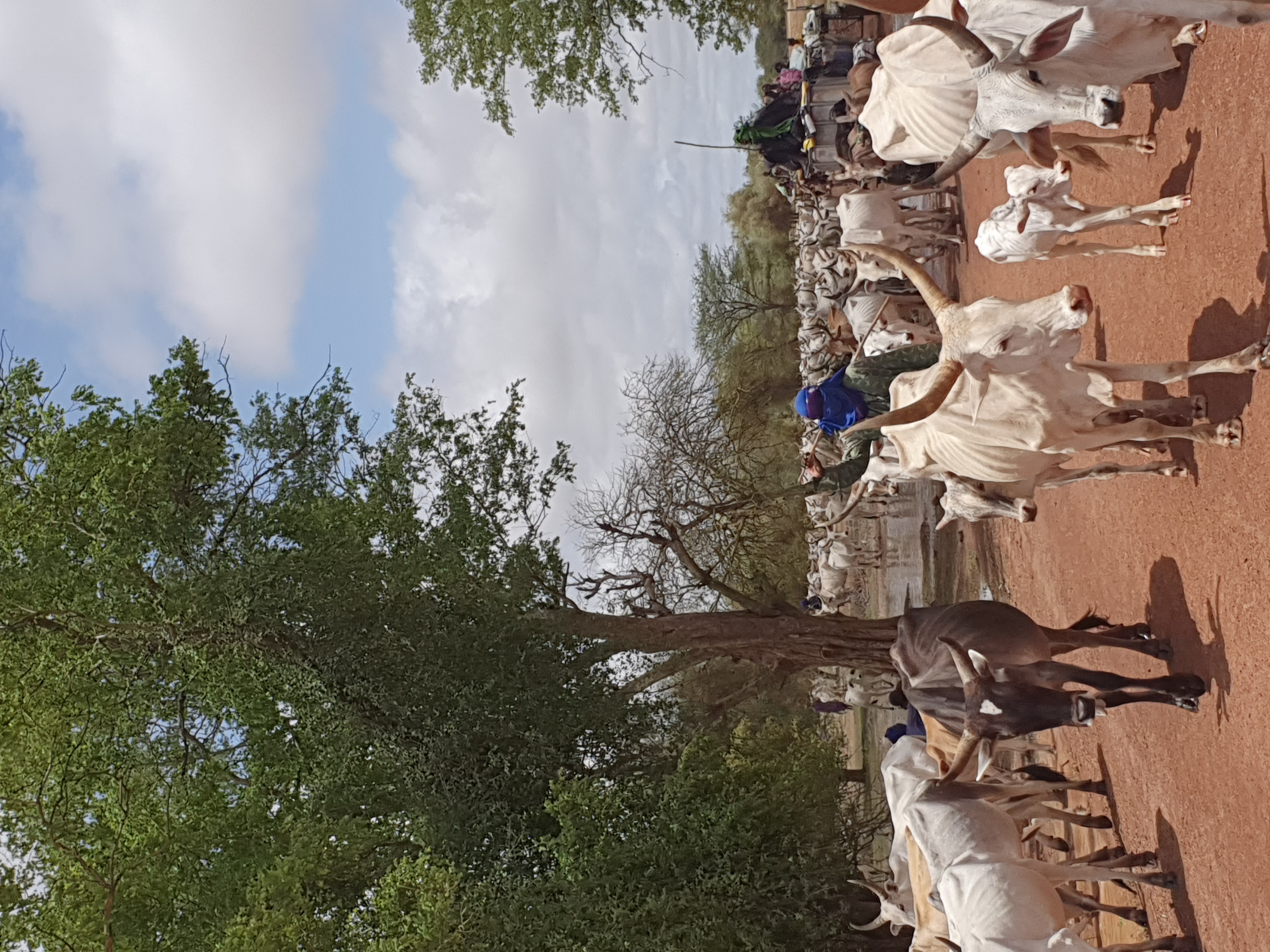
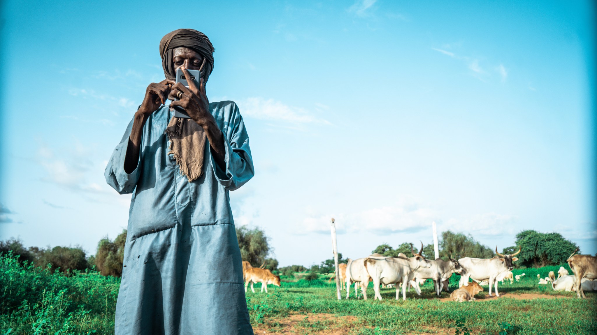
In Phase II, the hub will continue to promote the use of publicly available satellite imagery and related geospatial decision-support tools/products to help key stakeholders and decision makers — especially in Burkina Faso, Ghana, Mali, Niger, Nigeria and Senegal — make more informed decisions in four areas: agriculture and food security; water resources and hydroclimatic disasters; weather and climate; and land cover and land use change and ecosystems.
Visit the ICRISAT SERVIR West Africa page here.


