


OpenET uses publicly available data to provide satellite-based information on evapotranspiration (the “ET” in OpenET). The primary satellite dataset for OpenET is from the Landsat program, a partnership between NASA and the U.S. Geological Survey (USGS). The most recent satellite in the program, Landsat 9, successfully launched on Sept. 27, 2021.
Evapotranspiration is the process through which water leaves plants, soils, and other surfaces and returns to the atmosphere. It’s a measurement that farmers can use to estimate the amount of water being taken up or used by their fields and crops and that will usually need to be replaced through irrigation or rainfall.
Knowing how much water is transferred to the air allows farmers to better calculate crop water requirements, helping them to use water more efficiently and better plan irrigation. This makes evapotranspiration a crucial measurement for farmers and other water resource managers, especially in the western United States where the majority of the water used by people goes to irrigate crops and produce food.
In addition to helping farmers, OpenET also can enable rural communities and water managers to design locally driven water conservation, trading and other innovative programs to build more sustainable water supplies.
In the arid western United States, which is currently experiencing record levels of drought, having an accurate measure of evapotranspiration is critical to managing increasingly scarce water supplies.
OpenET uses open-source models and Google Earth Engine to provide satellite-based information on water consumption in areas as small as a quarter of an acre at daily, monthly and yearly intervals. Until OpenET, there was no single, low-cost operational system for measuring and distributing evapotranspiration data at the scale of individual fields across the western United States.
OpenET was developed through a public-private collaboration led by NASA, Environmental Defense Fund, Desert Research Institute, Google Earth Engine, HabitatSeven and several universities, with input from more than 100 stakeholders.
More information about OpenET is available at: https://openetdata.org/
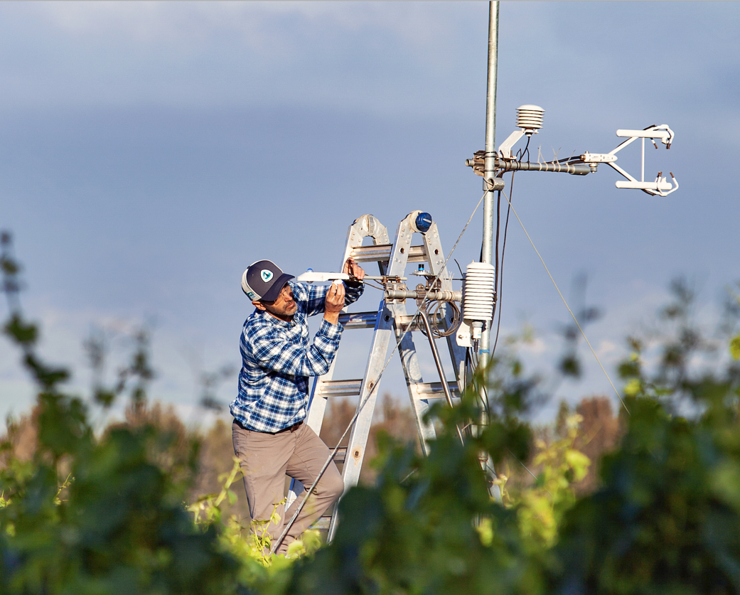
Image: Forrest Melton, NASA project scientist for OpenET, adjusts a scientific instrument in a California vineyard. Credits: NASA/Environmental Defense Fund/Pam Hansen