


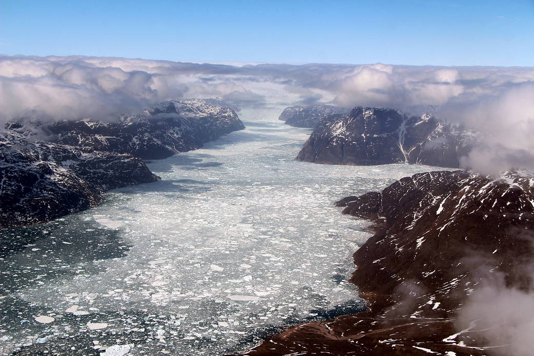
A fjord in southern Greenland, as seen during Operation IceBridge’s last flight of the 2017 Arctic campaign, on May 12, 2017. This final full science flight, ICESat-2 South, was designed along the ground tracks of NASA’s upcoming Ice, Cloud, and land Elevation Satellite-2 (ICESat-2), to fill in a gap in altimetry coverage of central southern Greenland.
Supporting ICESat-2, which is scheduled to launch in 2018, is one of the primary goals for Operation IceBridge. But the large volumes of data on Arctic sea and land ice that IceBridge has collected during its nine years of operations there have also enabled scientific discoveries ranging from the first map showing what parts of the bottom of the massive Greenland Ice Sheet are thawed, to improvements in snowfall accumulation models for all of Greenland. IceBridge has produced unprecedented three-dimensional views of Arctic and Antarctic ice sheets, providing scientists with valuable data on how polar ice is changing in a warming world.
More: NASA Annual Arctic Ice Survey Expanded Range This Year
Image Credit: NASA/John Sonntag