


The first image collected by Landsat 9, on Oct. 31, 2021, shows remote coastal islands and inlets of the Kimberly region of Western Australia.
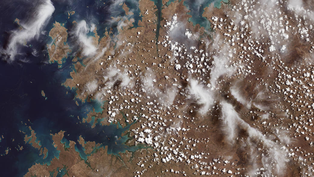
The first image collected by Landsat 9, on Oct. 31, 2021, shows remote coastal islands and inlets of the Kimberly region of Western Australia. In the top middle section of the image, the Mitchell River carves through sandstone, while to the left Bigge Island and the Coronation Islands stand out in the Indian Ocean. Australia is a major international partner of the Landsat 9 program, and operates one of the Landsat Ground Network stations in Alice Springs.
Image credit: NASA/USGS