![Request for Information – Potential [Placeholder for Prize]](https://assets.science.nasa.gov/dynamicimage/assets/science/psd/solar/2023/09/s/solarsystem_0.jpg?w=1024)


Positioning, Navigation, and Timing
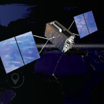
NASA’s SCaN (Space Communications and Navigation) Program leads the development of the robust positioning, navigation, and timing capabilities that make spaceflight possible. By managing data standards, advancing new technologies, leading policy initiatives, and building strategic partnerships, SCaN ensures crewed and uncrewed spacecraft — and people on Earth — know where they are, where they’re going, and when their discoveries make it home.

PNT at NASA
Space missions depend on precise positioning, navigation, and timing to operate safely and deliver their discoveries to Earth.
From guiding orbiting spacecraft to coordinating timelines for lunar operations, positioning, navigation, and timing capabilities, or PNT, are essential to mission success. At NASA, the SCaN Program works with engineers, policymakers, and partners across the globe to protect global navigation signals, expand autonomy in space, and pioneer the new technologies that keep public and private missions on course and on time.

Timing in Space
Space navigation relies on ultra-precise timing infrastructure for everything from reliable communications to station docking and descent.
NASA is pioneering lunar navigation tools, advanced timing capabilities, and innovating communications technology to support the Artemis generation of exploration. The agency’s work on space-based clocks helps coordinate navigation systems on Earth and off.
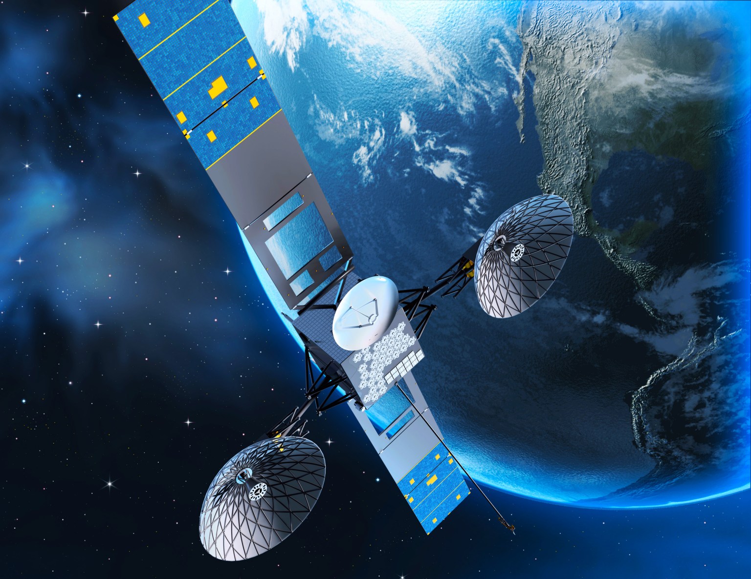
Space Communications and Navigation
The SCaN Program provides positioning, navigation, and timing resources that are essential to commercial and government spaceflight missions.
NASA’s SCaN (Space Communications and Navigation) Program manages the Near Space Network and Deep Space Network, two systems that together deliver reliable communications, advanced navigation, and precise timing for spacecraft from initial launch to deep space exploration. Today, more than 100 NASA and non-NASA missions currently rely on SCaN to explore the unknown, innovate new technology, and return new discoveries to Earth. As humanity ventures farther into the solar system and beyond, SCaN ensures space missions remain connected, on course, and ready to face new challenges.
NASA Successfully Acquires GPS Signals on Moon
NASA and the Italian Space Agency made history on March 3 when the Lunar GNSS Receiver Experiment (LuGRE) became the…
Read the Story
PNT Resources


Communications and Navigation for Artemis II
Throughout its journey, the Artemis II mission will receive comprehensive communications and navigation services from NASA’s two networks: the Near Space Network and the Deep Space Network.
Learn More