RASI Water Management Tools
RASI supports two primary water management tools: assessments for tropical storm surges and flood risk.
Click here to return to the RASI homepage.
Tropical Storm Surge Assessment
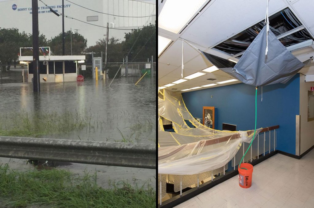
Tropical storms have impacted every NASA Center in the southern sections of the United States on a regular basis, bringing hurricane force winds that damage roofs, launch pads, and outdoor equipment, and costing millions of dollars' worth of damage. Along the Gulf and Atlantic coasts, storm surges have flooded communities around NASA Centers, while sea levels continue to rise. This application has instructions that will allow a user to select a site of interest on the U. S. map, such as a NASA Center or a nearby residential area, and then select a tropical storm for a surge assessment map of flooding in units of feet of surface water inundation.
Explore a Storm Surge Mapping Application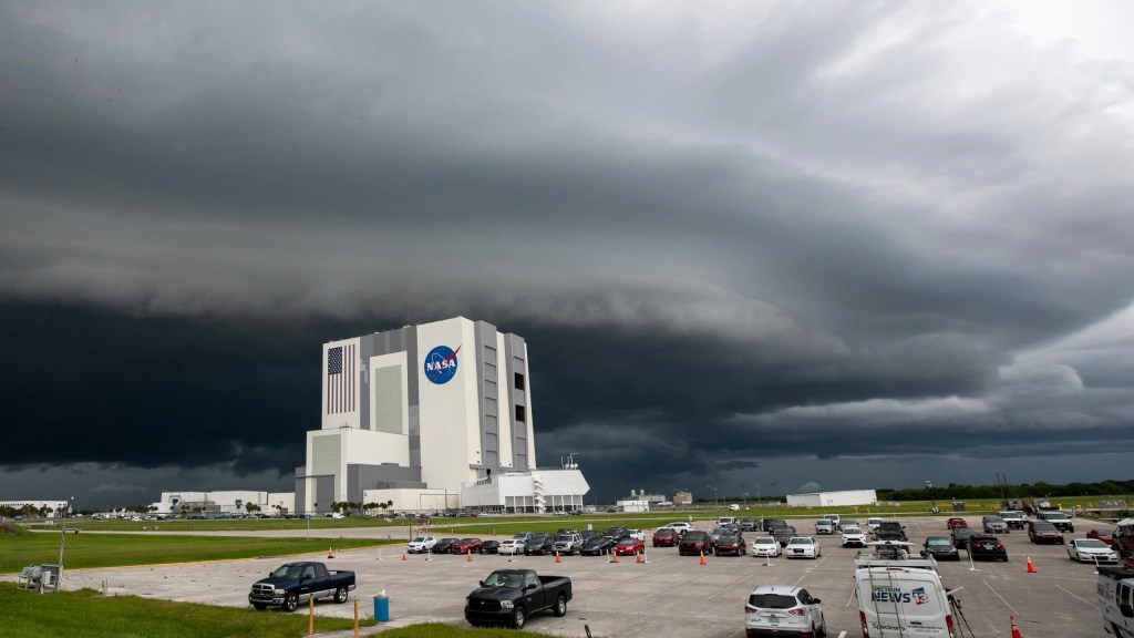
Flood Risk Assessment
Flooding impacts nearly all NASA Centers during extremely heavy precipitation events and powerful tropical storms. Satellite remote sensing can detect areas of surface water inundation and saturation of soils following such extreme weather events and show where buildings and roads are most at risk for flood damage. This application has instructions that will allow a user to select a site of interest on the U. S. map, such as a NASA Center or a nearby residential area, and carry out a flood risk assessment for an extreme weather event in the past.
Explore a Flood Risk Mapping Application