


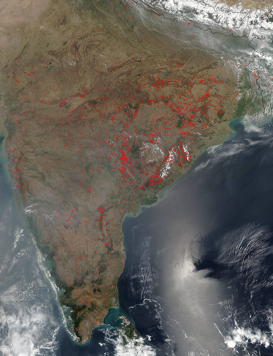
The Suomi NPP satellite’s Visible Infrared Imaging Radiometer Suite (VIIRS) instrument captured a look at dozens and dozens of fires and smoke burning in India on March 27, 2017.
Actively burning areas, detected by VIIRS are outlined in red. The fires are most concentrated in the middle of the country but there are some that appear above and below that large band of fires as well. Most likely, at this time of year, these fires are intentional agricultural fires set by people to prepare for the upcoming growing season, but it cannot be ruled out that they may be accidental forest fires.
One interesting feature in this image is the sunglint (the phenomenon that occurs when sunlight reflects off the surface of the ocean at the same angle that a satellite or other sensor is viewing the surface) coming off the ocean.
The Suomi NPP satellite is a joint mission between NASA, NOAA and the U.S. Department of Defense.
NASA image courtesy Jeff Schmaltz, MODIS Rapid Response Team. Caption: NASA/Goddard, Lynn Jenner