


NASA Images
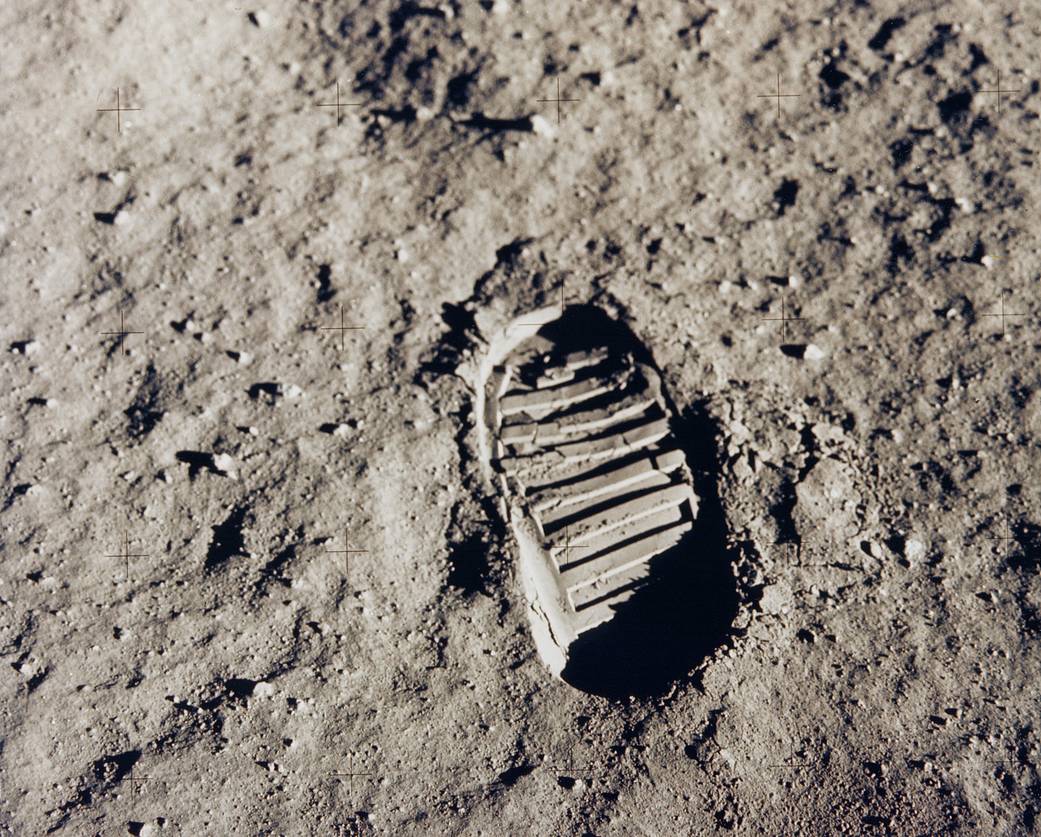
NASA has always told its story through its images, a few of which have become icons of human history.
Today
Image Of The Day
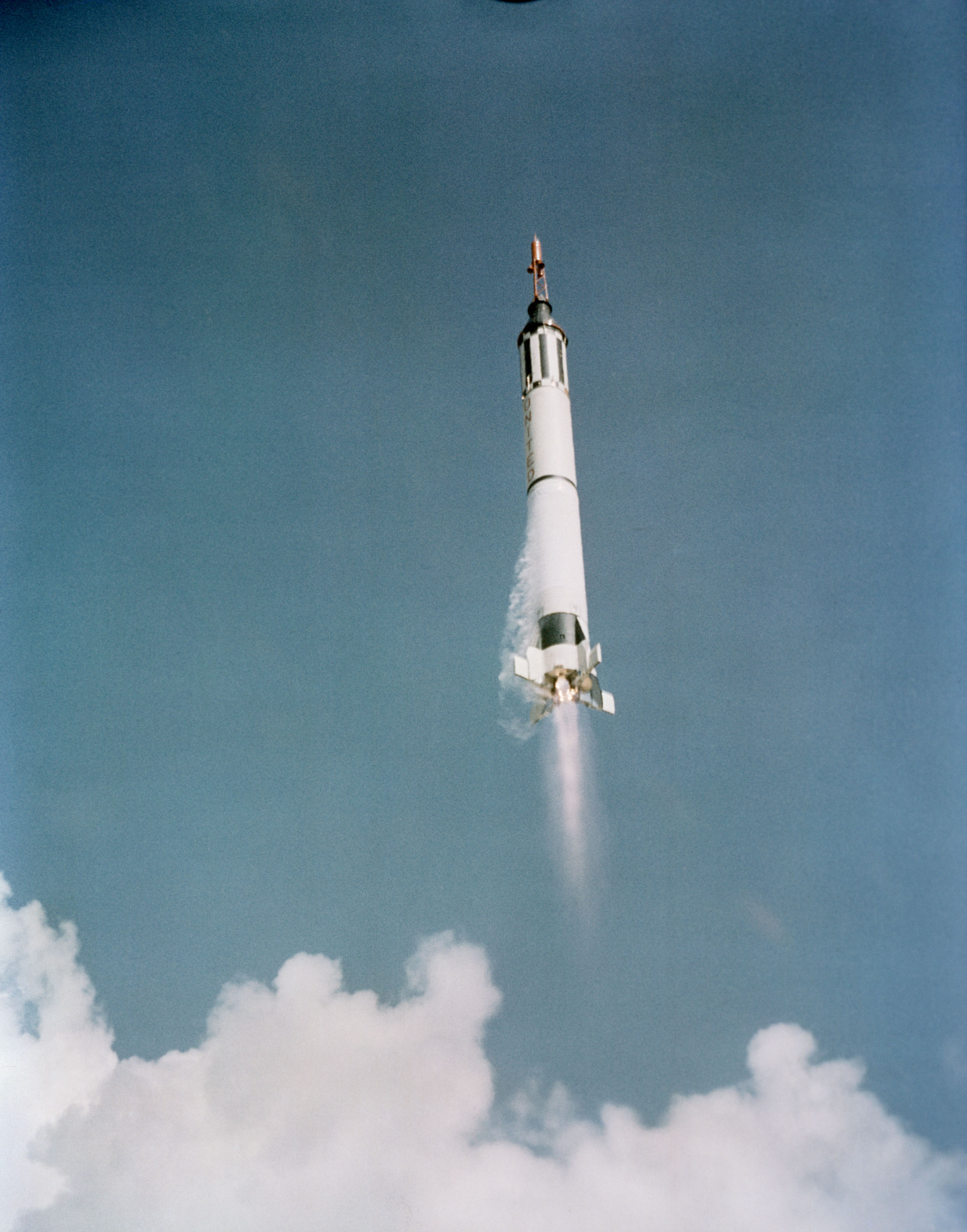
Building on America’s 65-Year Legacy of Human Spaceflight
America’s first human spaceflight begins as the Mercury-Redstone 3 (MR-3) space vehicle, with astronaut Alan B. Shepard Jr. aboard, launches from Cape Canaveral, Florida on May 5, 1961.

NASA History
Flickr Commons has more than 3,000 photos from NASA's history. All photographs on the NASAcommons Flickr account originate from the compilation of photos from NASA's image and video library and other archived sources.
View about NASA History

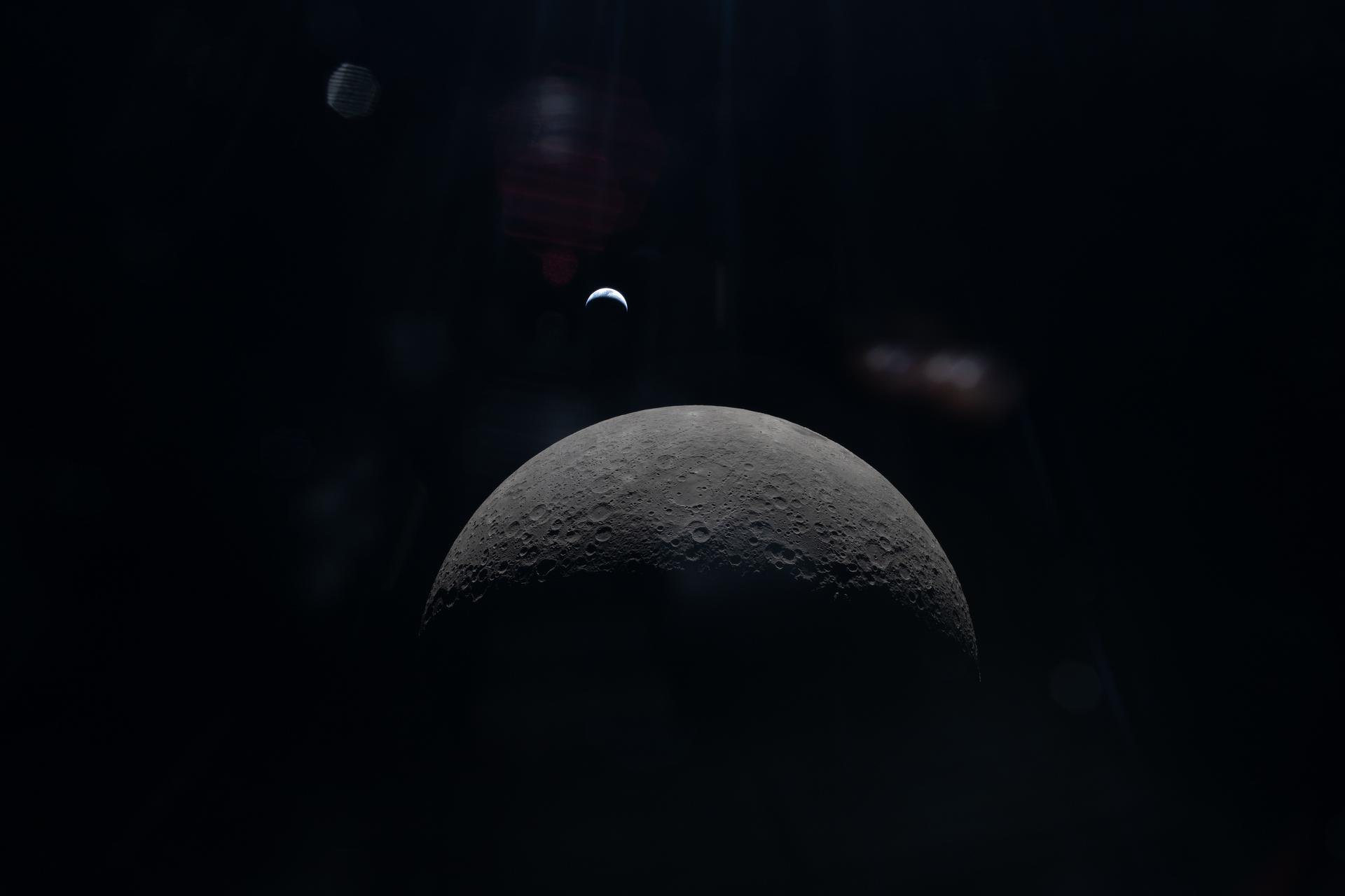
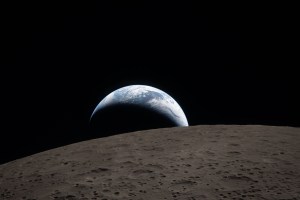
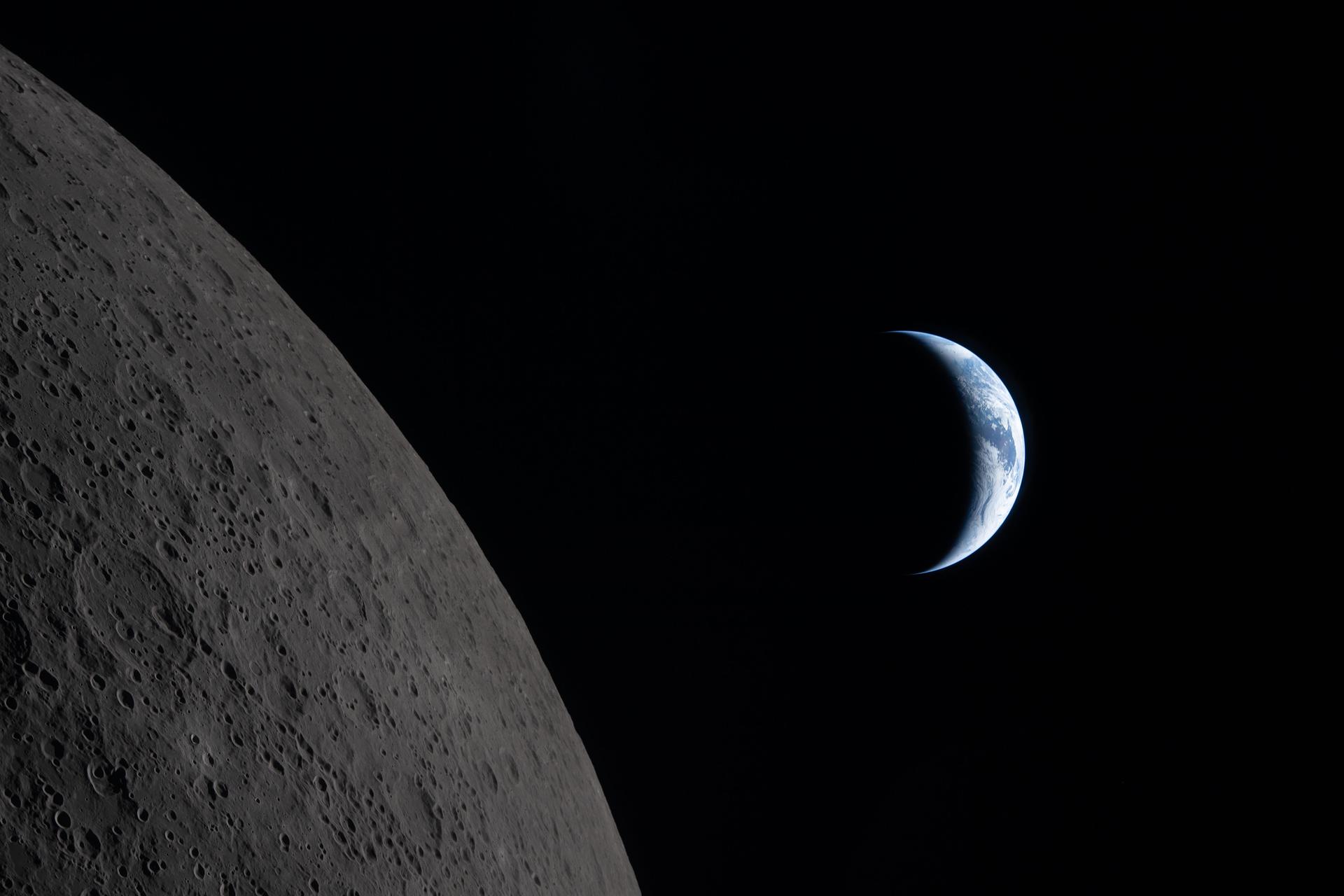
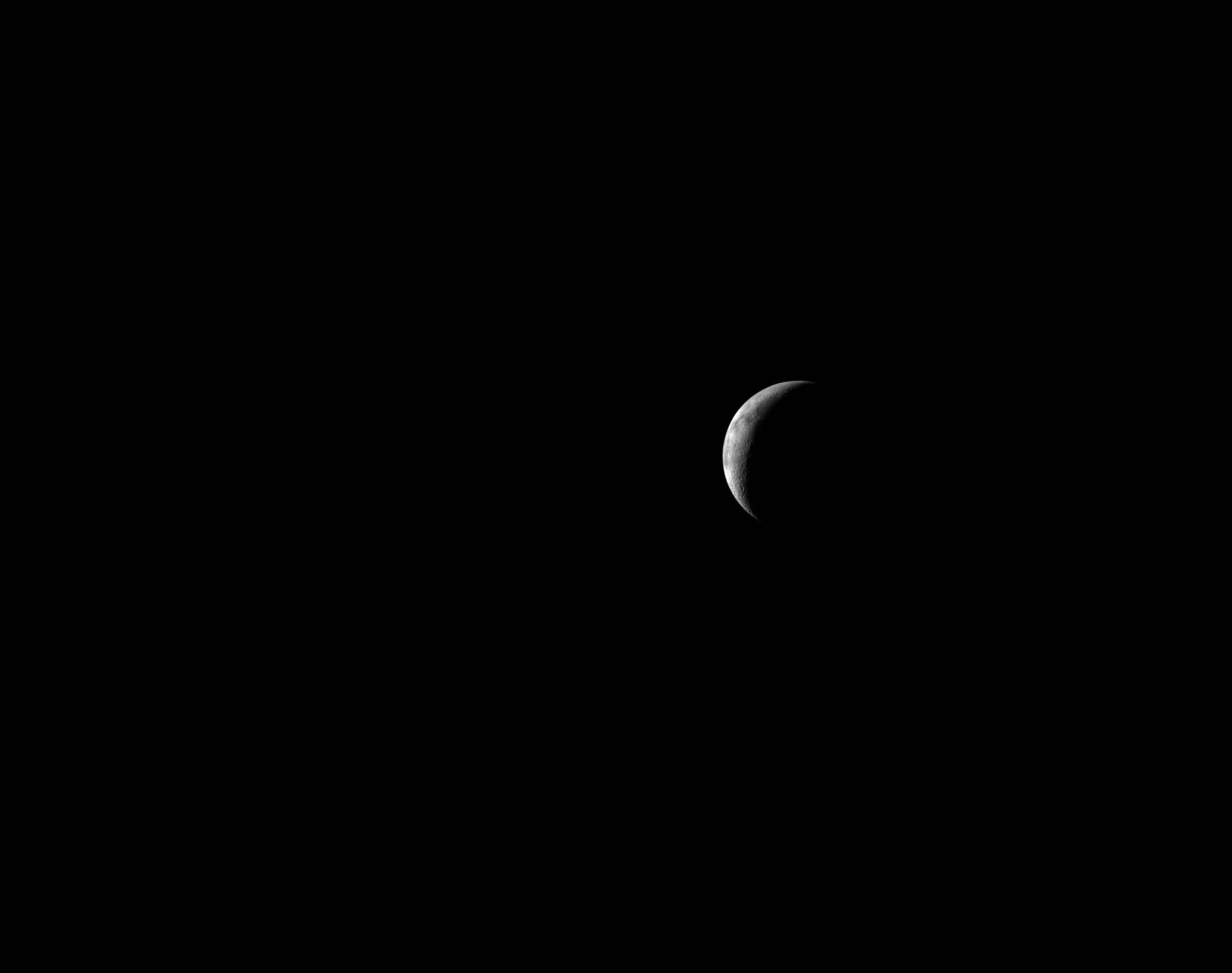
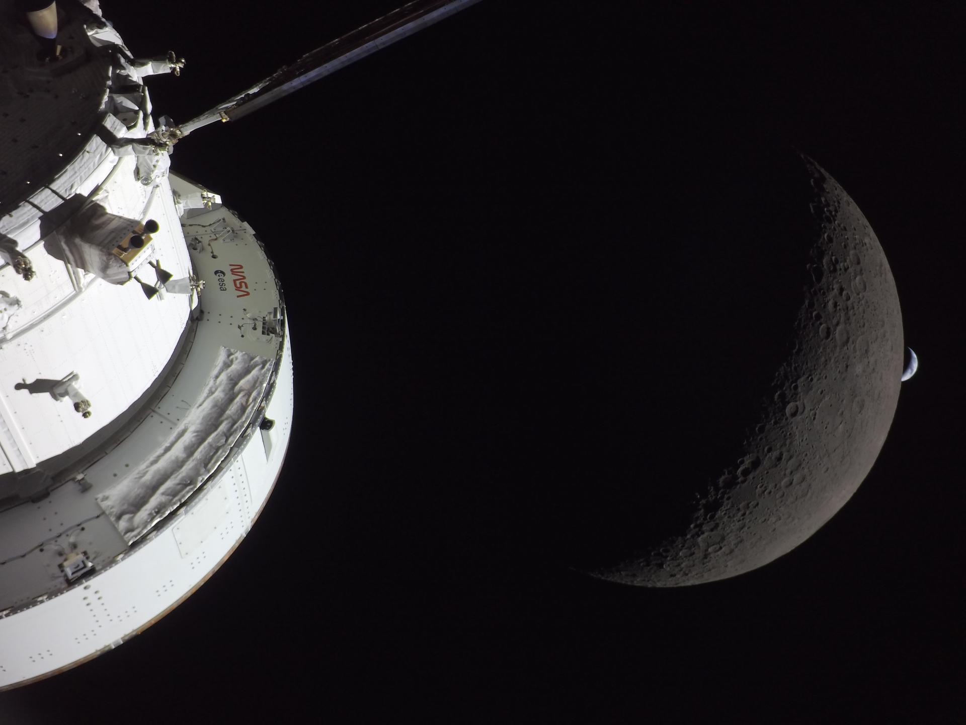
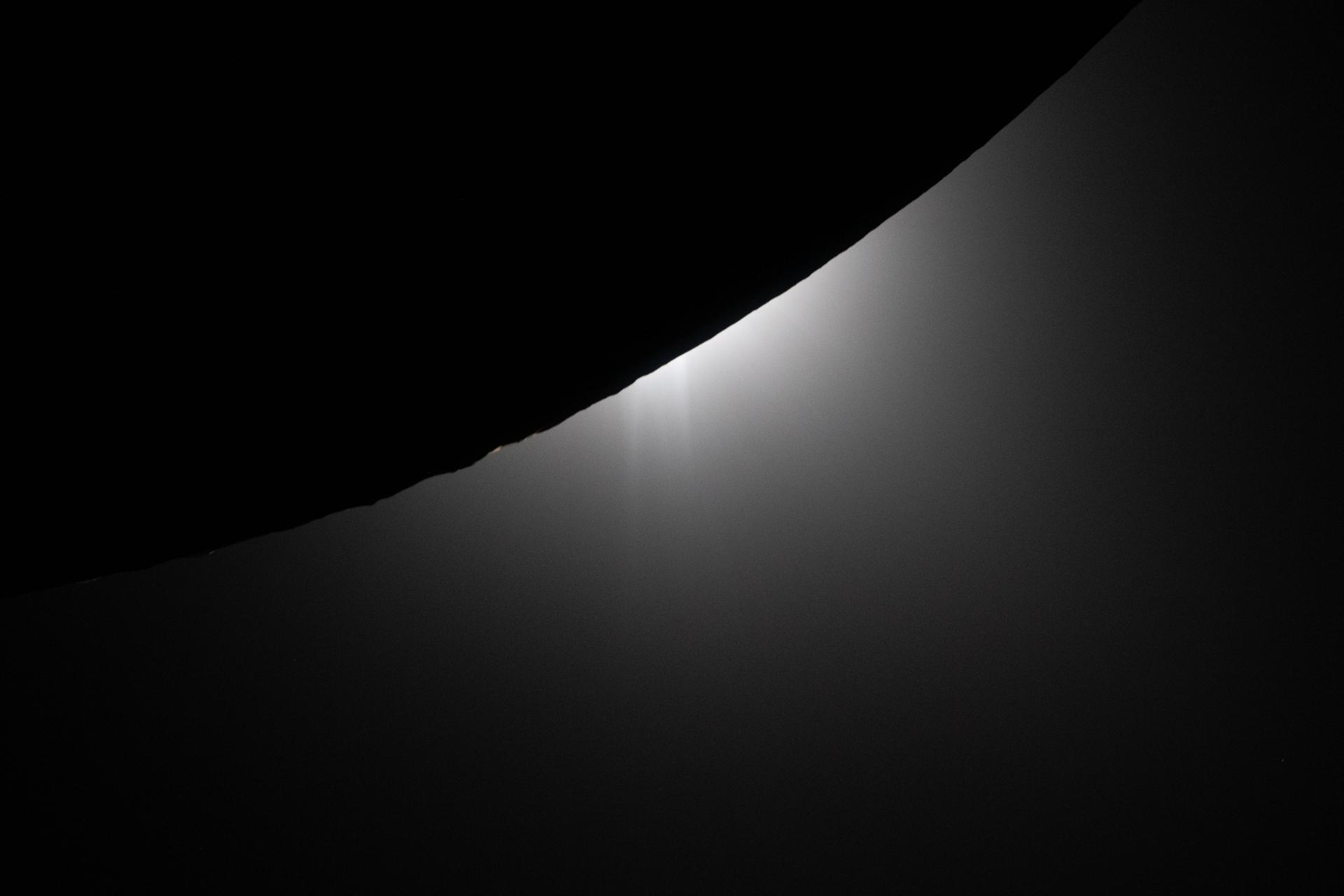
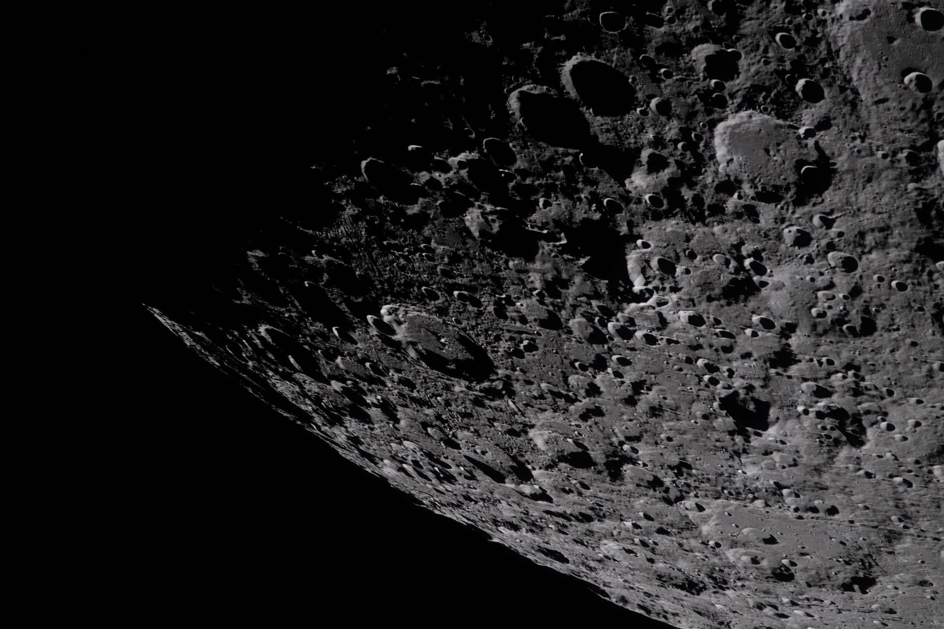
Artemis II Lunar Flyby
86 Images
