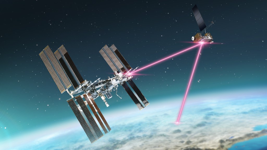
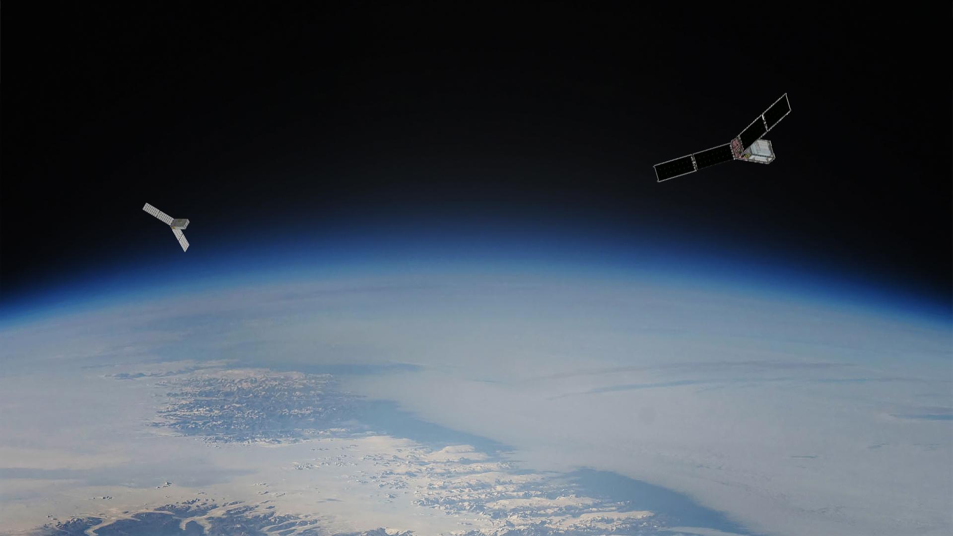
Launching in spring 2024, the two small satellites of the agency’s PREFIRE mission will fill in missing data from Earth’s polar regions.
Two new miniature NASA satellites will start crisscrossing Earth’s atmosphere in a few months, detecting heat lost to space. Their observations from the planet’s most bone-chilling regions will help predict how our ice, seas, and weather will change in the face of global warming.
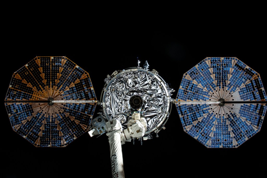
About the size of a shoebox, the cube satellites, or CubeSats, comprise a mission called PREFIRE, short for Polar Radiant Energy in the Far-InfraRed Experiment. Equipped with technology proven at Mars, their objective is to reveal the full spectrum of heat loss from Earth’s polar regions for the first time, making climate models more accurate.
PREFIRE has been jointly developed by NASA and the University of Wisconsin-Madison, with team members from the universities of Michigan and Colorado.
The mission starts with Earth’s energy budget. In a planetary balancing act, the amount of heat energy the planet receives from the Sun should ideally be offset by the amount it radiates out of the Earth system into space. The difference between incoming and outgoing energy determines Earth’s temperature and shapes our climate.
Polar regions play a key role in the process, acting like Earth’s radiator fins. The stirring of air and water, through weather and ocean currents, moves heat energy received in the tropics toward the poles, where it is emitted as thermal infrared radiation – the same type of energy you feel from a heat lamp. Some 60% of that energy flows out to space in far-infrared wavelengths that have never been systematically measured.
PREFIRE can close that gap. “We have the potential to discover some fundamental things about how our planet works,” said Brian Drouin, scientist and deputy principal investigator for the mission at NASA’s Jet Propulsion Laboratory in Southern California.
“In climate projections, a lot of the uncertainty comes in from what we don’t know about the North and South poles and how efficiently radiation is emitted into space,” he said. “The importance of that radiation wasn’t realized for much of the Space Age, but we know now and are aiming to measure it.”
Launching from New Zealand two weeks apart in May, each satellite will carry a thermal infrared spectrometer. The JPL-designed instruments include specially shaped mirrors and detectors for splitting and measuring infrared light. Similar technology is used by the Mars Climate Sounder on NASA’s Mars Reconnaissance Orbiter to explore the Red Planet’s atmosphere and weather.
Miniaturizing the instruments to fit on CubeSats was a challenge for the PREFIRE engineering team. They developed a scaled-down design optimized for the comparatively warm conditions of our own planet. Weighing less than 6 pounds (3 kilograms), the instruments make readings using a device called a thermocouple, similar to the sensors found in many household thermostats.
Ground Zero for Climate Change
To maximize coverage, the PREFIRE twins will orbit Earth along different paths, overlapping every few hours near the poles.
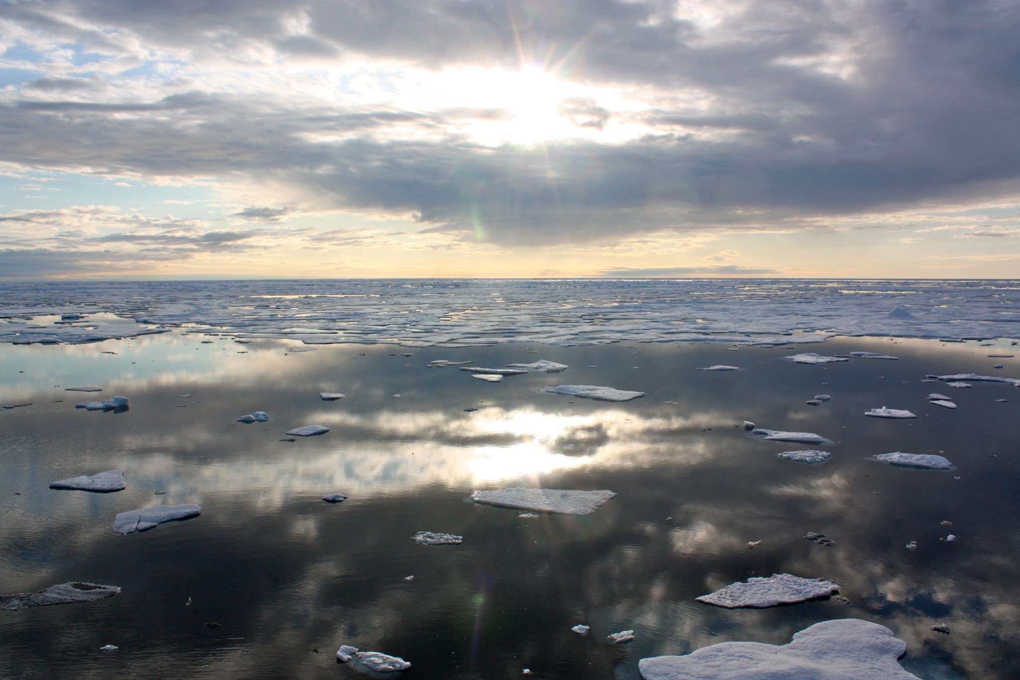
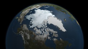
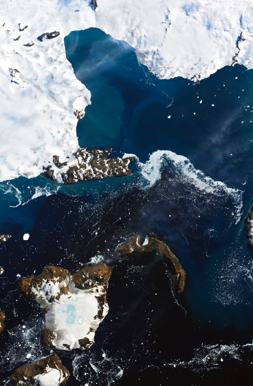
Since the 1970s, the Arctic has warmed at least three times faster than anywhere else on Earth. Winter sea ice there has shrunk by more than 15,900 square miles (41,200 square kilometers) per year, a loss of 2.6% per decade relative to the 1981-2010 average. A change is occurring on the opposite side of the planet, too: Antarctica’s ice sheets are losing mass at an average rate of about 150 billion tons per year.
The implications of these changes are far reaching. Fluctuations in sea ice shape polar ecosystems and influence the temperature as well as circulation of the ocean. Meltwater from mile-thick ice sheets in Greenland and Antarctica is responsible for about one-third of the rise in global mean sea level since 1993.
“If you change the polar regions, you also fundamentally change the weather around the world,” said Tristan L’Ecuyer, a professor at the University of Wisconsin-Madison and the mission’s principal investigator. “Extreme storms, flooding, coastal erosion – all of these things are influenced by what’s going on in the Arctic and Antarctic.”
To understand and project such changes, scientists use climate models that take into account many physical processes. Running the models multiple times (each time under slightly different conditions and assumptions) results in an ensemble of climate projections. Assumptions about uncertain parameters, such as how efficiently the poles emit thermal radiation, can significantly impact the projections.
PREFIRE will supply new data on a range of climate variables, including atmospheric temperature, surface properties, water vapor, and clouds. Ultimately, more information will yield a more accurate vision of a world in flux, said L’Ecuyer.
“As our climate models converge, we’ll start to really understand what the future’s going to look like in the Arctic and Antarctic,” he added.
News Media Contacts
Jane J. Lee / Andrew Wang
Jet Propulsion Laboratory, Pasadena, Calif.
818-354-0307 / 626-379-6874
Written by Sally Younger
2024-014


