Spotting Topographic Changes from 250 Miles Above
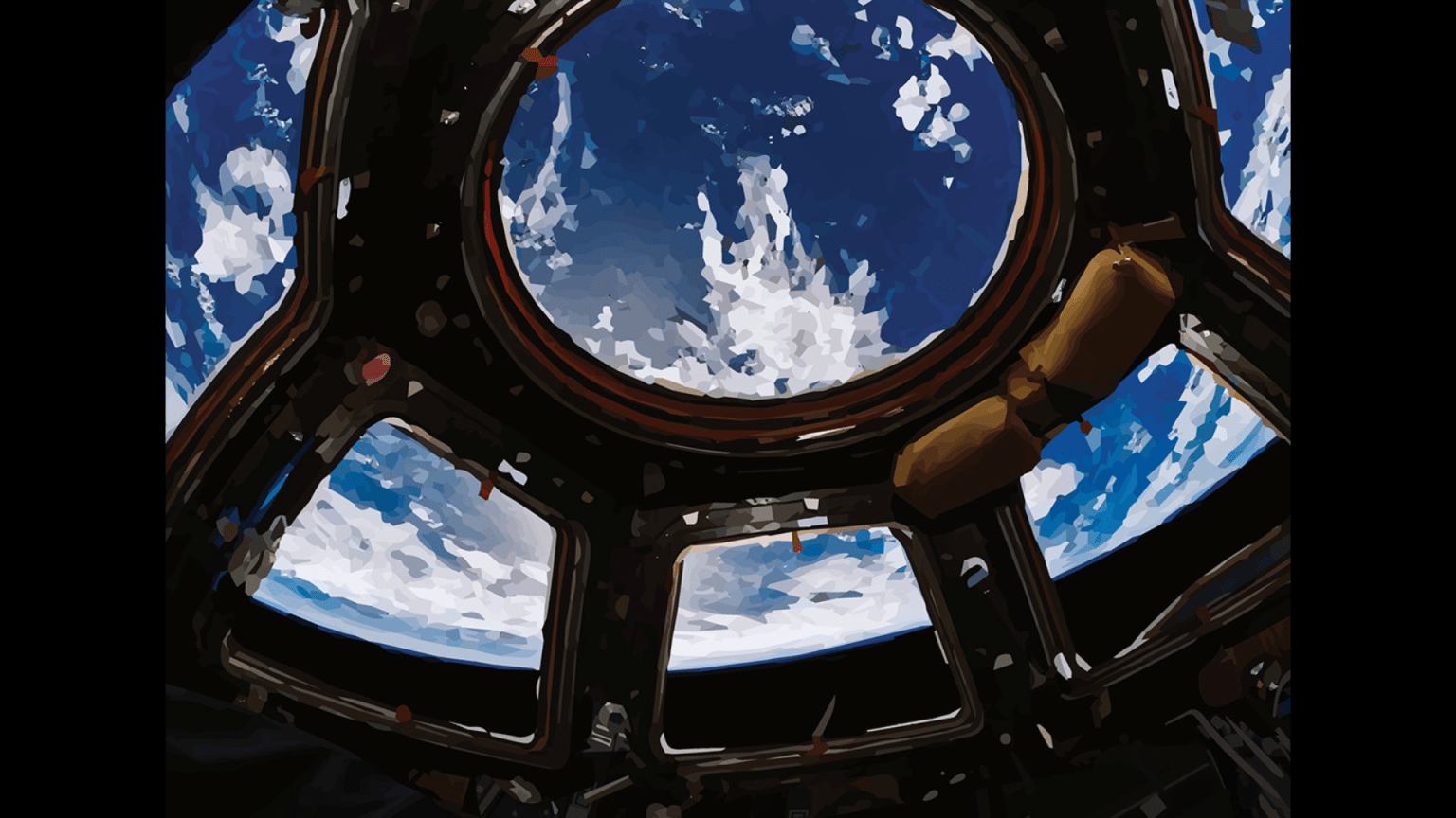
Crew members aboard the International Space Station collect imagery during studies like Crew Earth Observations and Hurricane-Visual, pointing cameras at interesting features on our planet. Once a picture is taken, it often needs further processing to enhance its scientific usefulness. Historically, this step has been a manual task, but now researchers are assigning it to artificial intelligence (AI).
The Earth Science and Remote Sensing Unit at NASA’s Johnson Space Center in Houston, Texas, is using machine learning to sort through and identify photos taken from the orbital laboratory, making them more searchable and useful to scientists. The Gateway to Astronaut Photography of Earth service contains nearly 4 million astronaut-captured images. Using AI, researchers have categorized over 2 million photos of Earth’s geographic features, 250,000 images of auroras, 37,000 lightning photos, and 18,000 images of 64 different cities around the world.
While the technology to capture imagery of Earth from satellites has existed since the 1960s, use of AI in image processing is a recent development. After training the AI model on satellite imagery of Earth, NASA scientists began using it to process significant quantities of imagery at a rate far faster than any human cataloger.

“Crew Earth Observations serves as a longitudinal record of what the Earth looks like at specific times,” said data scientist Alex Stoken, who works on the team responsible for managing the operation. “For example, NASA has a 20-year photographic record of the Toshka Lakes in Egypt that can be studied to understand the changes to water levels in the lakes. With AI, we can identify more of these change areas and study them in greater detail.”
Scientists also request images of Earth sites that have comparable features to structures on other planets, such as impact craters. For example, Tenerife Island, the largest of the Canary Islands, has formations over 30 million years old that are reminiscent of features found on other planetary surfaces.
“When we use machine learning to identify mountainous photos or photos with large boulders, we are also searching for potential sites that are analogous to places on the Moon and Mars,” said Stoken. “If we can better understand how those processes happened on Earth, maybe it will teach us something about other potential future space destinations.”
Analyzing modern astronaut imagery helps researchers to better understand Earth and its changing landscapes and to refine and validate algorithms to support future exploration missions and aid planetary scientists in studying our solar system.