Credits: NASA Goddard’s Scientific Visualization Studio
› Download this video in broadcast quality from NASA Goddard’s Scientific Visualization Studio
Deforestation in the Amazon takes many different patterns, depending upon the origin of the forest clearing. In Rondônia, a state in Western Brazil, deforestation from the 1970s until the 1990s had a distinctive “fishbone” pattern. Access to this remote region began with a major road cutting through the dense tropical forest, opening up new territory for small farms and ranches. Then, other roads developed at right angles to the initial road. In this visualization, these roads shoot off a stretch of the main “backbone” road for about 31 miles (~50 kilometers) long, each secondary road branching off about every 2.5 miles (~4 kilometers). This creates the “fishbone” pattern.
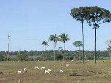
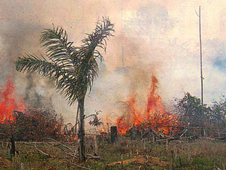
Settlers clear the forest on their parcels of land all along the main and secondary roads, first cutting and then burning the cleared forest. The cleared areas slowly get larger and larger and closer together until finally what’s left is one large area of deforestation.
“Because these roads cut deep into the rainforest and then spread outwards, there’s a much greater loss of habitat and species than if there was a single area of deforestation, because the amount of ‘edge’ is critical for biodiversity,” says Compton Tucker, a biologist and tropical forest expert at NASA’s Goddard Space Flight Center in Greenbelt, Md.
A detailed study of Landsat images by Tucker and David Skole, a physical scientist now at Michigan State University in East Lansing, Mich., showed that the annual rate of deforestation in the Amazon from 1978 to 1988 was lower than previously thought, but the impact on biodiversity was much greater than assumed, because of habitat fragmentation caused by the “fishbone” deforestation pattern in Rondônia.
Tucker says this biodiversity paradox lies in the nature of fishbone deforestation; it creates many more miles of “edges” between deforested areas and intact forest. These “edge” areas between deforestation and remaining forests are where there’s much greater wind damage and desiccation of forest and because it’s easier for humans to access these areas, there’s also increased rates of hunting, poaching, and animal capture, as well as higher levels of legal and illegal logging.
Skole and Tucker published their research in the journal Science in 1993. They found that between 1980 and 1992 more than 1,000 square miles (~3,000 square kilometers) of forest in Rondônia was lost each year. The beginning of the forest loss coincides with a 1979 decision by Brazil’s Program of National Integration to build roads across the forest and offer cheap land for agriculture, thus encouraging a population boom in the area. The images of “fishbone” deforestation in Rondônia were widely publicized, and have become the visual shorthand for tropical deforestation worldwide.
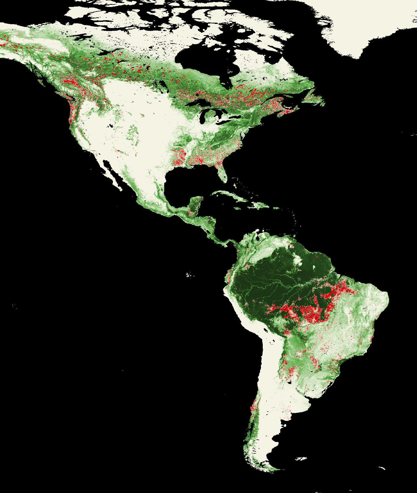
In recent decades the locus of deforestation in Brazil has shifted east to the states of Mato Grosso and Pará, where large tracts of land are being cleared for mechanized agriculture, rather than small-hold farming. Even so, Brazil’s overall rate of deforestation has slowed in recent years.
Even with the deforestation, Brazil is still home to more than a quarter of Earth’s tropical forests. In addition to their astounding biodiversity, these forests act as a major carbon “sink.” These are places where carbon dioxide in the atmosphere is absorbed by living things, like trees and plants, and thus the carbon is said to be trapped or sequestered. With increasing carbon dioxide levels around the world, the ability of these forests to hold onto carbon has beneficial implications for stabilizing the world’s climate.
NASA and the U.S. Department of the Interior through the U.S. Geological Survey (USGS) jointly manage Landsat, and the USGS preserves a 40-year archive of Landsat images that is freely available over the Internet. The next Landsat satellite, now known as the Landsat Data Continuity Mission (LDCM) and later to be called Landsat 8, is scheduled for launch in 2013.
Related Links
› NASA’s Earth Observatory: ‘Amazon Deforestation’
› Deforestation of Rondonia, Brazil, 1975 to 2001
Aries Keck
NASA’s Earth Science News Team