


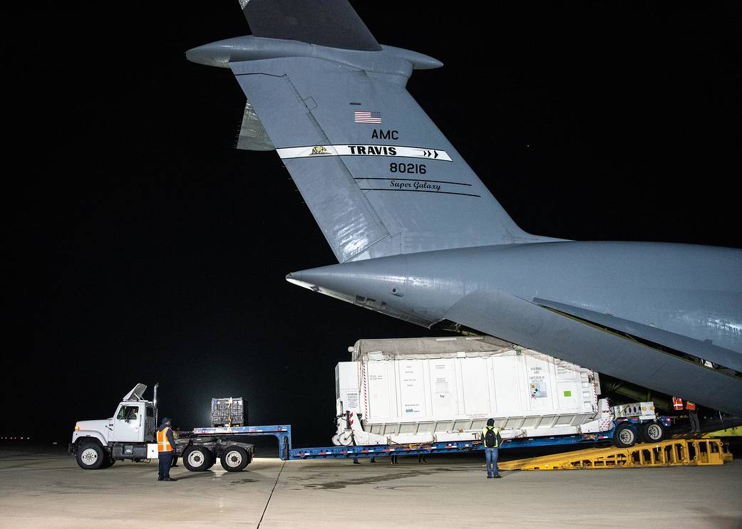
The Surface Water and Ocean Topography (SWOT) satellite arrived at Vandenberg Space Force Base in California, where teams will begin final preparations for the spacecraft’s launch in December on a SpaceX Falcon 9 rocket from Space Launch Center-4 East.
SWOT is the first satellite mission that will observe nearly all water on Earth’s surface, measuring the height of water in the planet’s lakes, rivers, reservoirs, and the ocean. SWOT’s instruments will be able to resolve ocean features like currents and eddies less than 60 miles (100 kilometers) across, lakes and reservoirs larger than 15 acres (6 hectares), and rivers wider than 330 feet (100 meters) across.
NASA’s Jet Propulsion Laboratory in Southern California built the scientific payload. In June 2021, JPL shipped the payload to France, where a multinational team integrated the Ka-band Radar Interferometer (KaRIn) and other finely tuned instruments with the satellite bus.
Click here to read the complete feature.