


![Request for Information – Potential [Placeholder for Prize]](https://assets.science.nasa.gov/dynamicimage/assets/science/psd/solar/2023/09/s/solarsystem_0.jpg?w=1024)


It’s almost Earth Day – looking for ways to celebrate?
Show you care by becoming a NASA citizen scientist! Our citizen science programs are collaborations with NASA scientists and members of the public. Choose from a variety of NASA Earth projects to play a vital role in research aimed at helping us better understand our changing planet.
From the comfort of home or outside on your mobile device, make a difference this Earth day. Your contributions are guaranteed to be of use!
What questions do you want to help answer? Read the descriptions below and click on the project titles to get started. No special knowledge is required – you’ll have a chance to learn as you go. Take a look and join a project today!
Projects accessible world-wide
Floating Forests
Kelp forests provide food, absorb wave energy to protect coastlines, and give products from ice cream to shampoo the texture we expect. But unfortunately, the growth of coastal cities can harm the health of kelp forests. Through this at-home project, learn how to interpret Landsat satellite images of coastlines and recognize kelp forests in them. Your observations will be checked by other citizen scientists and experts to help monitor the health of this valuable natural resource.
GLOBE Cloud Gaze
Scientists want to better understand the role of clouds in local weather and Earth’s climate system. By joining the NASA GLOBE CLOUD GAZE project you can help! Learn to identify cloud types and coverage in images collected by the GLOBE Program’s GLOBE Observer app clouds protocol. This information helps scientists better use ground-based observations alongside data collected by satellites.
GLOBE Observer
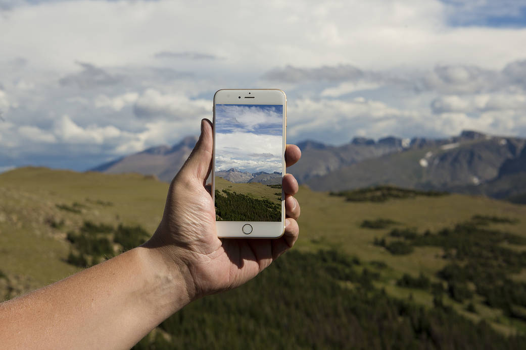
People like you can help scientists learn more about our planet! Use GLOBE Observer, the app of the Global Learning and Observations to Benefit the Environment (GLOBE) Program, to make, record, and share observations with scientists studying clouds, land cover, trees, and mosquito habitat. All it takes is a smartphone and a few moments outside. Your observations may be compared to data collected by satellites to help scientists develop a richer interpretation of remotely sensed data.
- Clouds – Scientists want to learn how clouds impact local weather and their role in Earth’s climate system. Use the app to take pictures of clouds – particularly when satellites pass overhead (and yes, the app will tell you when that is!).
- Land Cover – Interested in helping NASA determine a region’s susceptibility to floods, fires, or landslides? Or perhaps tracking wildlife habitats or the impacts of climate change? You can use the GLOBE Observer app to make, record, and share observations of grassland, forest, or urban areas around you, anywhere in the world.
- Mosquito Habitat Mapper – How do scientists map mosquito populations? With your help! You can use the GLOBE Observer app to make, record, and share observations of standing water – the required habitat of larval mosquitoes – anywhere around the globe. Scientists combine citizen scientist reports with data from satellites to gain a more complete picture of global mosquito populations, which can be used to help people avoid mosquito-borne diseases.
- Trees – Scientists studying the Earth’s carbon budget want to know how well the world’s trees can absorb atmospheric carbon. Use the GLOBE Observer app to make, record, and share observations of tree height and pictures and measurements of trunks worldwide. Changes in tree height through time reflect environmental health and can be used to calculate stored carbon.
Lake Observations by Citizen Scientists and Satellites
While much of Earth’s surface is covered with water, only about 0.5% of that is available freshwater. As a result, scientists want to learn how freshwater moves and what climate changes may mean for lakes, ecosystems, and global freshwater stores. You can help the effort by reporting water levels in a local lake(s) outfitted with simple gauges. When combined with measurements from satellites, these observations will enable scientists to monitor how the volume of lake water changes over time.
Landslide Reporter
Every year, landslides cause thousands of deaths and damage roads, utilities, and buildings worldwide. NASA is building the most extensive open global landslide inventory to improve predictions and safety. The agency has cataloged over 13,000 reported landslide events, but many go unreported. Join Landslide Reporter to learn how to register and classify landslides to assist in this collaborative effort at improving research, modeling, prediction, and response.
Mapping Application for Penguin Populations and Projected Dynamics
How many penguins are there? How are their populations changing? You can help scientists answer these questions and monitor the general health of Antarctic ecosystems by finding, marking, and reporting penguin colonies in high-resolution Google Earth imagery. Join the online expedition to locate all of Antarctica’s penguin colonies!
NEMO Net
Coral reefs worldwide are showing signs of climate stress. While the NeMO-Net project feels like a high-tech coloring game, it is actually training a supercomputer to classify and assess the health of coral reefs. Its goal? To better understand problems facing coral reefs and potentially reveal solutions. This technology may later be used to search for life elsewhere in the universe!
Place-based special projects
Fresh Eyes on Ice
Winter – and winter ice – is rapidly changing in the Arctic. As a result, both ecosystems and people who depend on lake and river ice for winter travel must change as well. You can join the Fresh Eyes on River Ice project to collaborate with scientists to study changing ice conditions on Alaskan rivers and lakes. Note: you need to be in Alaska to participate.
FjordPhyto
Tiny plant-like creatures known as phytoplankton serve as the base of the ocean food chain, including in the icy ocean environment of West Antarctic Peninsula fjords. As glaciers melt, scientists want to know how Southern Ocean phytoplankton will be affected. Cruise ship passengers to Antarctica are invited to collect water samples – and the phytoplankton they contain – to assist in this research.
Mountain Rain or Snow
Scientists need help better understanding – and predicting – winter weather. Today’s remote weather stations have a hard time telling the difference between cold rain and wet snow, especially in mountains where rain turns to snow or vice versa over the course of minutes. Public observers are essential partners for scientists studying how rain and snow fall through time and space at high elevations. Help improve forecasting today! All it takes is a smartphone and an eye for the weather.
NASA’s Citizen Science Program:
- Learn about all the NASA citizen science projects
- Follow us on Twitter
- Follow us on Facebook