


Flight Testing GPS-Galileo Interoperability for Positioning, Navigation, and Timing Applications
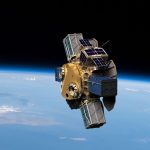
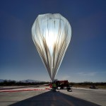
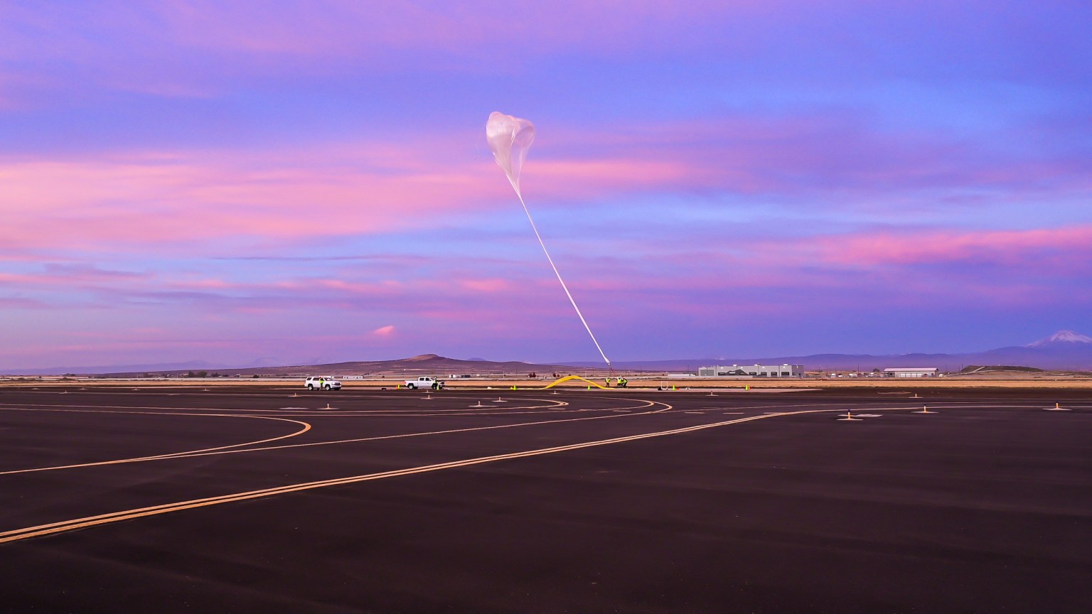
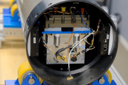
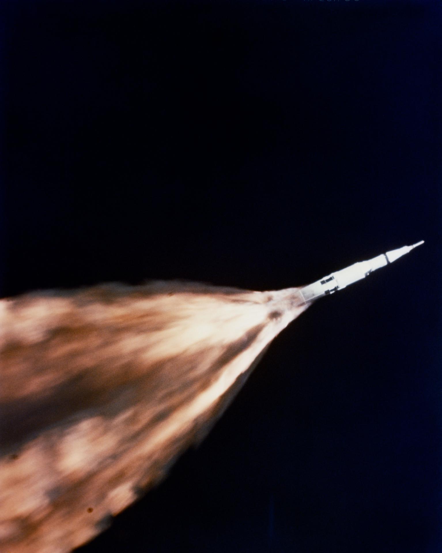
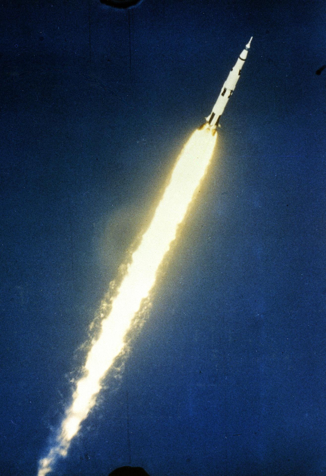
On an October 1, 2024, flight test supported by NASA’s Flight Opportunities program, a UP Aerospace sounding rocket carried three payloads to approximately 115 kilometers (71 miles). One payload was a multi-GNSS (Global Navigation Satellite System) receiver payload that was a collaborative effort between NASA SCaN (Space Communication and Navigation), ESA-ESOC (European Space Agency-European Space Operations Centre), and ASI (Italian Space Agency) and their contractors Fraunhofer (a German, publicly owned research and development organization) and Qascom (a private Italian engineering company).
The primary objective for both ESA and ASI was to test the interoperability between Galileo and GPS within a very challenging, highly dynamic environment. An additional ASI objective was to test the ability of the new technology to improve positioning, navigation, and timing for applications in future lunar missions, both during landing and in cislunar environments.
Also flight tested were two payloads from the Federal Aviation Administration’s Office of Commercial Space Transportation with technologies related to spacecraft black boxes and tracking via ADS-B (Automatic Dependent Surveillance-Broadcast).
flight provider
UP Aerospace
flight test platform
Sounding rocket
flight date
October 1, 2024
location
Spaceport America, Las Cruces, New Mexico
Payloads
Multi-GNSS Receiver Payload | FAA Payloads | Related News
Multi-Global Navigation Satellite System (GNSS) Receiver
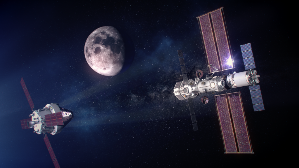
The Global Navigation Satellite System refers to positioning, navigation, and timing satellite constellations operated by the U.S. (i.e., the Global Positioning System or GPS) as well as the European Union (EU) and other countries. While GNSS signals from Earth orbiters have successfully calculated positions, velocities, and time up to approximately halfway to the lunar surface, researchers needed further testing to determine if GPS and EU’s Galileo GNSS could work together to reach the Moon.
A key goal of the flight test was to demonstrate the interoperability of these receivers for computing accurate and safe real-time positioning using GPS/Galileo L1/E1 L5/E5a signals in the highly dynamic environment typical of a launch vehicle.
To test this theory and validate the interoperability of the U.S.’s GPS and the EU’s Galileo, a Multi-GNSS payload flew aboard the UP Aerospace SpaceLoft sounding rocket. The payload used both satellite navigation systems and two receivers to determine precise location, velocity, and time. Those included:
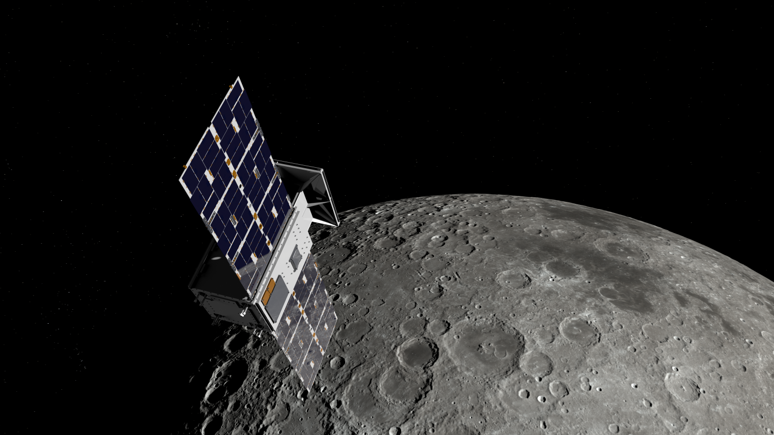
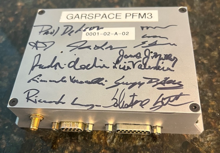
—A next-generation version of ASI’s Qascom GARSpace GNSS receiver, which was developed to operate in a very highly dynamic environment, went to the Moon on Firefly’s Blue Ghost Mission 1 as LuGRE (Lunar GNSS Receiver Experiment) and became the first technology demonstration to acquire and track Earth-based navigation signals on the Moon’s surface.
—The ESA’s Fraunhofer GOOSE GNSS Receiver sought to understand the system, its limitations, and operability for future development as well as to inform the upcoming ESA Lunar Pathfinder mission.
“The use of additional GNSS signals to augment GPS is developing rapidly and is a cornerstone of strengthening international collaboration,” said J.J. Miller, principal investigator for the multi-GNSS payload.
The main goal of the suborbital flight test was to assess GPS-Galileo performance in a very highly dynamic environment. A secondary objective was to determine the possibility of augmenting systems such as Autonomous Flight Termination System to utilize Galileo signals along with the native GPS signals for future range safety operations.
During the flight, the GNSS receivers tracked successfully, and with high accuracy, validating that GPS and Galileo signals can be used for lunar/cislunar positioning, navigation, and timing all the way to the Moon. All dual constellation (GPS and Galileo) and dual frequency (L1/E1 and L5/E5a) compatibility and interoperability payload objectives were met.
FAA Payloads
Black Box Technology Modules for Commercial Spacecraft
Researchers tested the ability of this flexible, high-speed, low-cost data acquisition and storage system (a prototype “black box” technology demonstrator) to serve as a rugged secure flight data storage repository. The technology aims to improve understanding of a space vehicle’s state after a launch with an affordable method of securely recording flight data.
Commercial Space Vehicle Tracking using ADS-B Technology
Adapting existing aircraft tracking technology and Federal Aviation Administration systems could enable commercial space operations to minimize their impact on airspace (and the aircraft that fly in it) during launches and as well as re-entry and landings. During this flight test, researchers monitored operations to address the capabilities of an experimental prototype 1090MHz ADS-B transmitter. This payload lacks the shortcomings of aviation ADS-B equipment that cannot handle the environments presented by spaceflight or the dynamic loads caused by launch and re-entry.
Related News

NASA Successfully Acquires GPS Signals on Moon
Touchdown! Carrying NASA Science, Firefly’s Blue Ghost Lands on Moon
Blue Ghost Prepares for Landing, NASA Instrument Breaks Record
NASA Explores Upper Limits of Global Navigation Systems for Artemis