Following the eruption of the world’s largest active volcano, Mauna Loa, NASA Armstrong Flight Research Center deployed its C-20A aircraft to Kona, Hawaii, to gather images and data of the active lava flows for submission to the United States Geological Survey (USGS) by a team of scientists at NASA’s Jet Propulsion Laboratory (JPL).
The plane was equipped with a sophisticated synthetic aperture radar system, the Uninhabited Aerial Vehicle Synthetic Aperture Radar (UAVSAR) – and a synthetic aperture radar-fusion optical short-wave infrared (SAR-Fusion Optical/SWIR) camera system for use in mapping the topography of the volcano and gathering data on deformations in Earth’s surface caused by the lava flows. Such imagery and information can be used by emergency management teams and scientists as they work to forecast lava flows and track eruption rates.
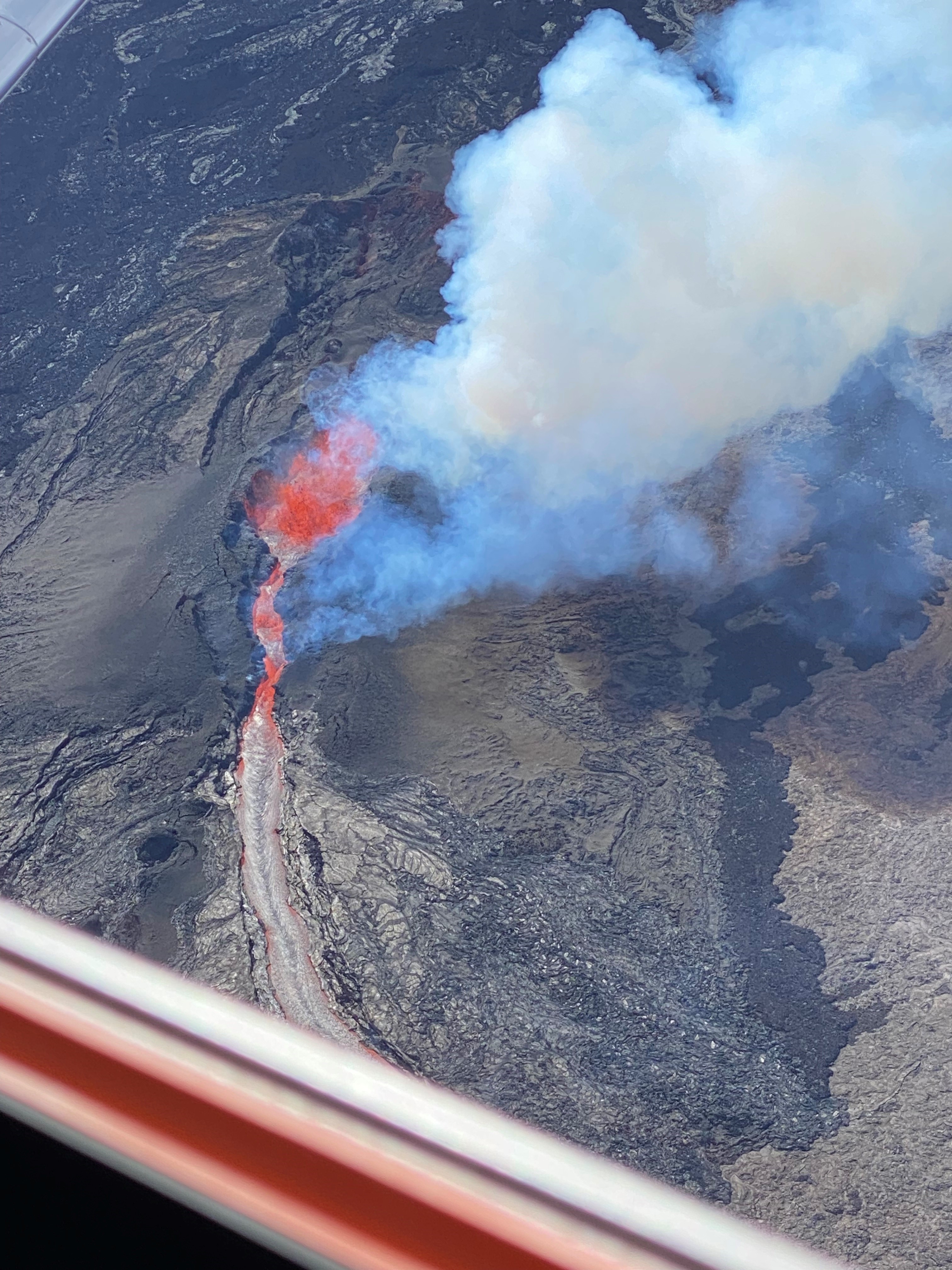
In particular, the data from the flights helps Hawaii’s emergency management teams prepare for the potential of lava flow threatening a highway between Kona and Hilo, Hawaii. Early data results concluded that eruption rates significantly slowed, and the highway was no longer in threat.
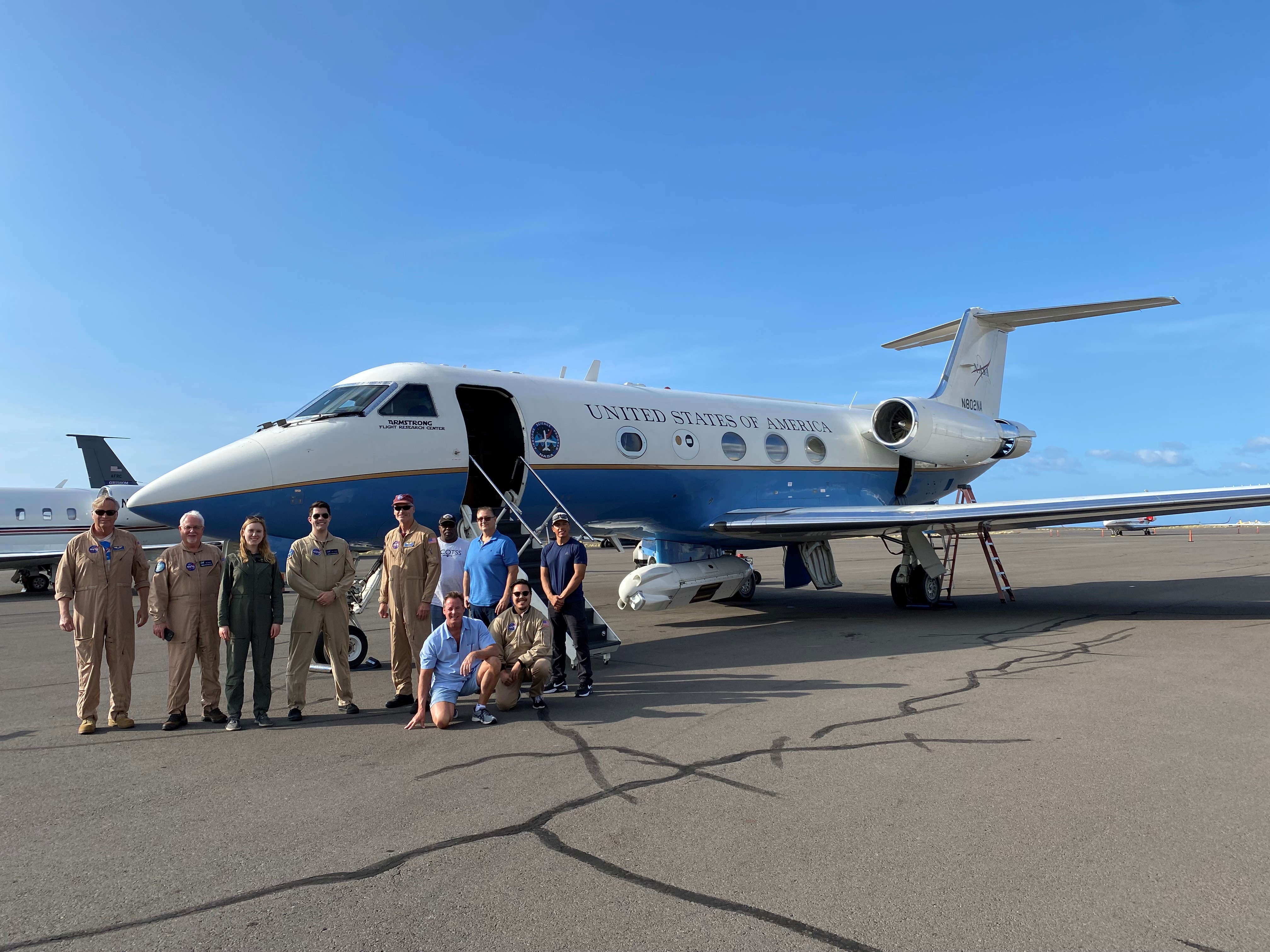
The C-20A successfully completed a week-long rapid response deployment and conducted three science flights over the active lava flows. The aircraft is structurally modified to support the installation of the UAVSAR KA-Band system that can gather data at a specific frequency. With the use of a specially designed platform-precision autopilot (PPA) system, the aircraft can fly repeat passes over a target within 15 feet of the original flight path to gather the necessary data.
A team of maintenance and quality assurance crews, operations engineers, pilots, and project management at NASA’s Armstrong Flight Research Center came together to deploy the aircraft and work in conjunction with scientists and researchers at NASA’s Jet Propulsion Laboratory to complete the mission.
The C-20A is a military-grade version of the Gulfstream III business jet, that NASA uses for a variety of environmental science missions. The twin-turbofan aircraft provides long-term capability for efficiently conducting missions for NASA, other government agencies, academic researchers, and private industry.
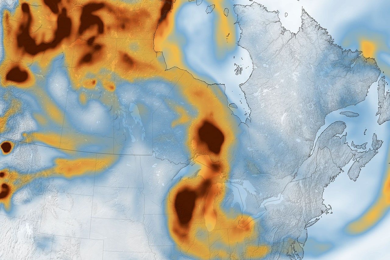
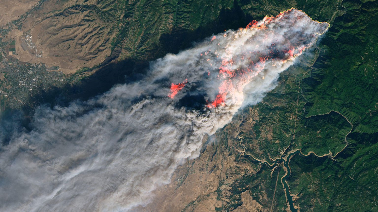
For more information about the science of the mission, visit NASA’s Earth Observatory webpage.