![Request for Information – Potential [Placeholder for Prize]](https://assets.science.nasa.gov/dynamicimage/assets/science/psd/solar/2023/09/s/solarsystem_0.jpg?w=1024)


Models based in part on a method NASA has used to track and count wild salmon in Nevada can now be used by governments and humanitarian organizations to more accurately estimate populations and allocate aid to remote regions of the world.
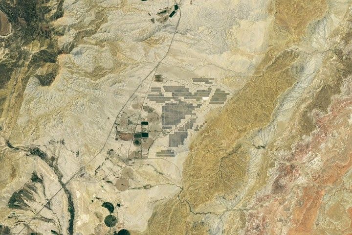
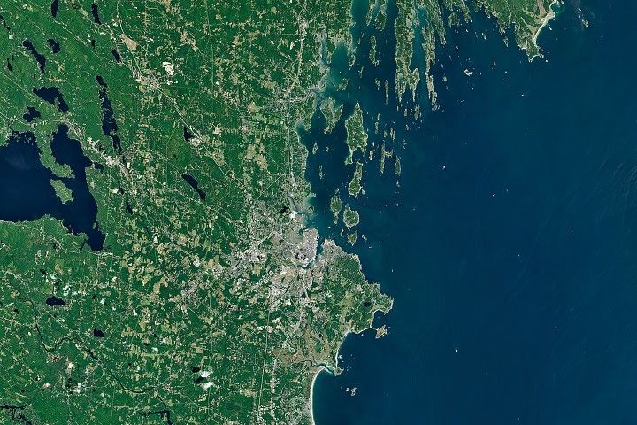
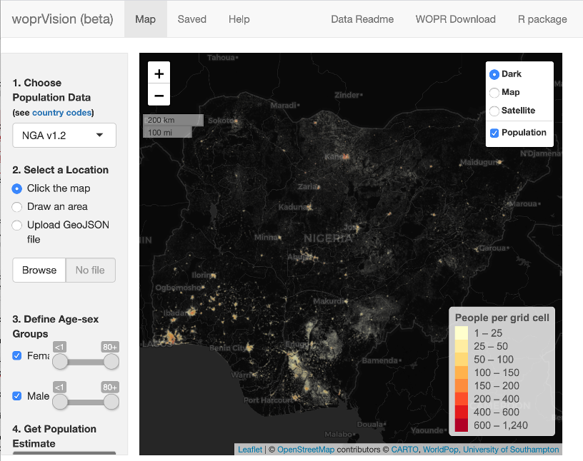
In hard-to-reach areas where terrain, conflict and expense can make such counts difficult and even unsafe, the models use Earth observation data of buildings, land cover and other human “signatures” to estimate remote populations. The Nigerian government is using the technique to allocate polio vaccinations in places where doing a simple census is difficult.
“For a vaccination campaign, organizers may need to know how many children under 5 live in a village that needs polio vaccinations,” explained project leader Doug Leasure, a senior enterprise fellow in the WorldPop Group at the University of Southampton in the United Kingdom. “But simply counting the kids just isn’t always an option.”
Previously, Leasure led a NASA Earth Science Division Applied Sciences project on salmon populations. He realized that the data used to model fish populations – aerial imagery, satellite data and environmental factors – were transferrable to estimating human populations. Leasure and his team recently published a report in the Proceedings of the National Academy of Sciences on how they adapted fish census techniques to track human activities.
“With NASA, back in Nevada, we built a web app to put that data into the hands of decision makers, so programs could access the high-resolution salmon estimates directly without having to be professional statistical scientists themselves,” Leasure said. “We recreated that process here and released it publicly in Nigeria. Already, we’re getting great feedback from these first users.” Nigeria is one of the first countries to begin incorporating these methods into population estimates, and Leasure’s team custom designed the app to best work with the country’s needs.
By combining many types of data from orbit with highly specialized computer modeling, the woprVision app can help researchers, governments and humanitarian organizations identify where people are living, and how many households are in each community, without having to visit in person. By looking at building structure, Leasure’s team can estimate the number of families with children in a community and better understand where there may be a population of children in need of childhood vaccines.
Leasure says that, in addition to specific vaccination campaigns, government ministries in Nigeria are using these population estimates to distribute government aid and identify where more schools or hospitals are needed. WorldPop is also working with other African governments to expand and customize tools using these methods and applications.
“Each country needs something different,” said Andy Tatem, director of WorldPop. “Mozambique, for example, already conducts a census, but wants to support the results with spatial analyses.” Another example is Zambia, which is working to incorporate this method into their census planning. The program is also being expanded to the Democratic Republic of Congo, South Sudan, Mozambique and Burkina Faso.
“NASA’s modeling and applications have proven to be important to humanitarian efforts,” said Maury Estes, associate program manager for the Ecological Forecasting program area at NASA. “It demonstrates the exceptional versatility and importance of NASA Earth Sciences – we’re hopeful for the ways it can be used next.”
by Lia Poteet
NASA Earth Science Division