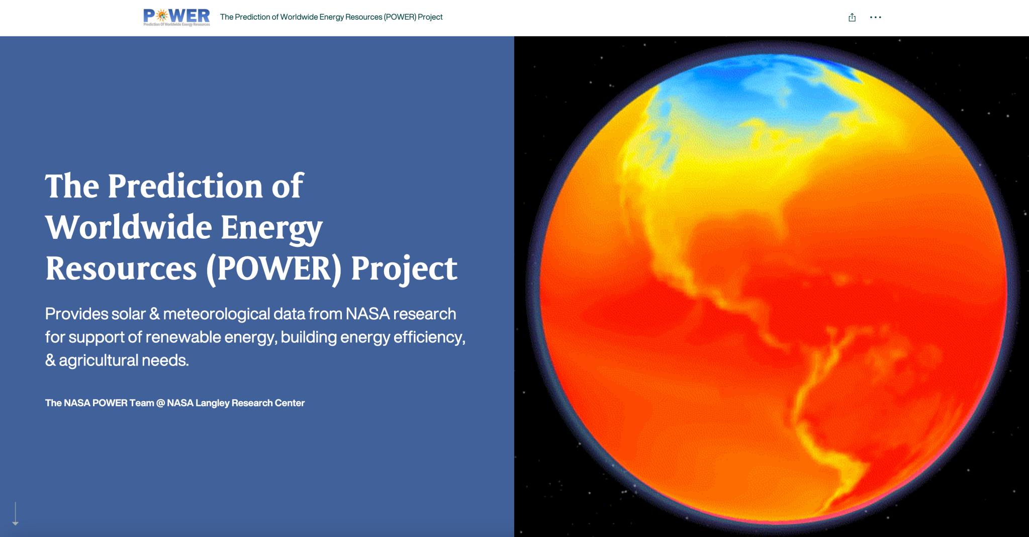
The Prediction of Worldwide Energy Resource (POWER) at NASA’s Langley Research Center in Hampton, Virginia, helps ensure that communities have access to reliable energy amid increasing climate variability. POWER accomplishes this by providing analysis-ready data products from NASA Earth observations and modeling to support the research and engineering community. POWER supports three user communities with solar and meteorological data: renewable energy, sustainable buildings and agroclimatology.
The POWER team has recently put together an Esri ArcGIS StoryMap. Through text, GIFs, videos, and interactive map content, viewers can become more familiar with the project. By scrolling through the StoryMap, users learn more about the POWER project, its data sources, how to access POWER data, POWER’s communities and users, and how to discover more POWER-related information.
POWER also recently released image services for annual radiation, annual meteorology, monthly radiation, and monthly meteorology. The services can be accessed via the NASA ASDC’s Portal for ArcGIS POWER Group, NASA ArcGIS Online POWER Group, and the Esri Living Atlas of the World. ArcGIS Living Atlas of the World is a curated collection of authoritative geographic content, apps, and tools from around the globe.
NASA Langley Research Center


