


Producing rapid and accurate images on missions to the Moon, Mars and other terrestrial destinations is crucial for a safe descent and landing. A NASA project called Safe and Precise Landing – Integrated Capabilities Evolution, or SPLICE, includes a key element that will help ensure a clearer touchdown site.
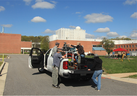
The SPLICE team recently performed a dynamic test of the hazard detection lidar (HDL) engineering development unit, a prototype specifically built for testing, at NASA’s Goddard Space Flight Center in Greenbelt, Maryland. HDL – an element of SPLICE – is a laser-based 3D imaging system that can quickly and accurately scan a planetary surface to create a map of the landing field. It’s designed to help a mission avoid hazardous obstacles and land in a safe area.
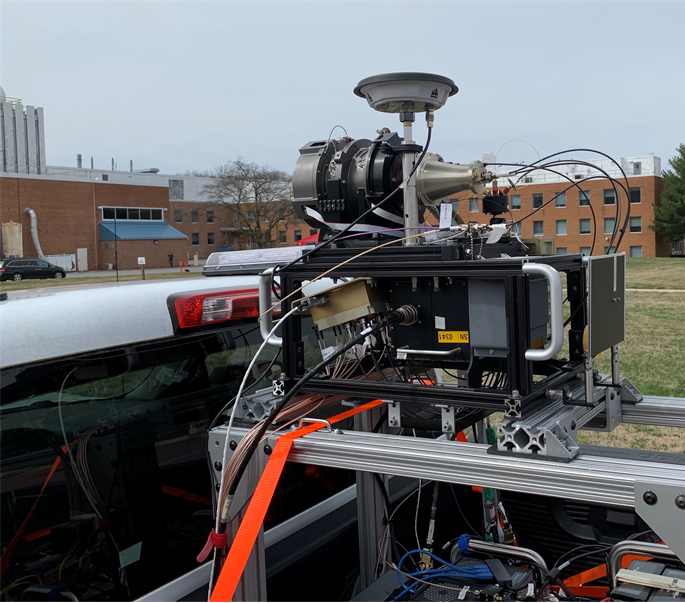
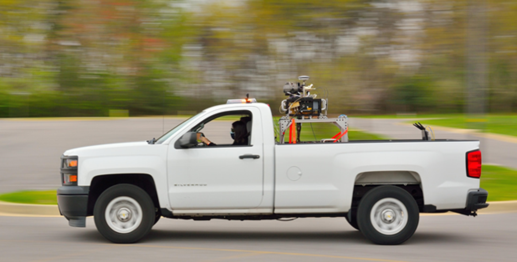
For the test, the SPLICE team fixed the HDL system onto a metal rig and strapped that into the bed of a pickup truck. A team member drove the vehicle while the HDL system collected numerous high-resolution 3D images of buildings about 500 feet away. During the test, HDL successfully collected image data at multiple vehicle speeds and approach angles. The lidar rapidly collects a large number of range measurements from the lidar to the ground.
“Each data point collected is an individual range measurement. It can collect 16 million data points in just two seconds, and each range measurement is accurate to about one cm,” said Ron Sostaric, SPLICE project manager.
The range measurements are combined with position and attitude navigation state information from other SPLICE sensors to correct for motion and rotation during the data collection during a space mission. A computer then processes the 3D image data in real-time to produce a digital elevation map used to identify the safe landing locations within the larger landing zone. The map informs the SPLICE guidance and navigation software algorithms to recalculate an updated trajectory solution to the safe location.
Future Moon missions could use SPLICE’s advanced algorithms and sensors to target landing sites that weren’t possible during the Apollo missions, such as regions with hazardous boulders and nearby shadowed craters. SPLICE technologies could also help land humans on Mars.
This dynamic test is part of an overall technology maturation program to ensure HDL readiness for potential use by future lunar and planetary landers. The SPLICE project is funded by NASA’s Game Changing Development program within the Space Technology Mission Directorate.
By Marina Guerges
NASA’s Game Changing Development Program