More than 1 billion people rely on seasonal mountain snowmelt as a resource for their water supply and a team of NASA scientists and aircraft operators are measuring snow levels to better understand the contribution to our water resources.
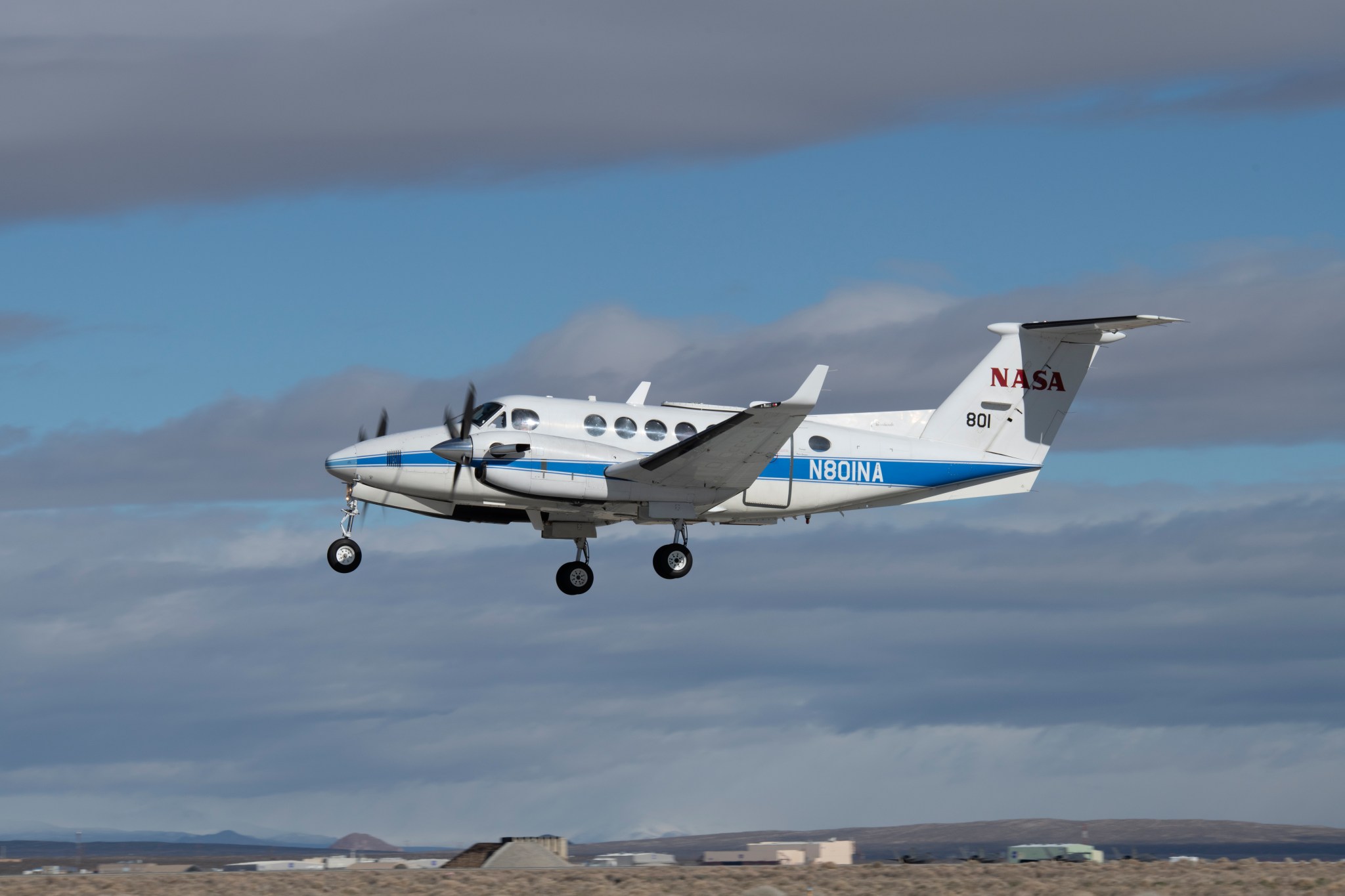
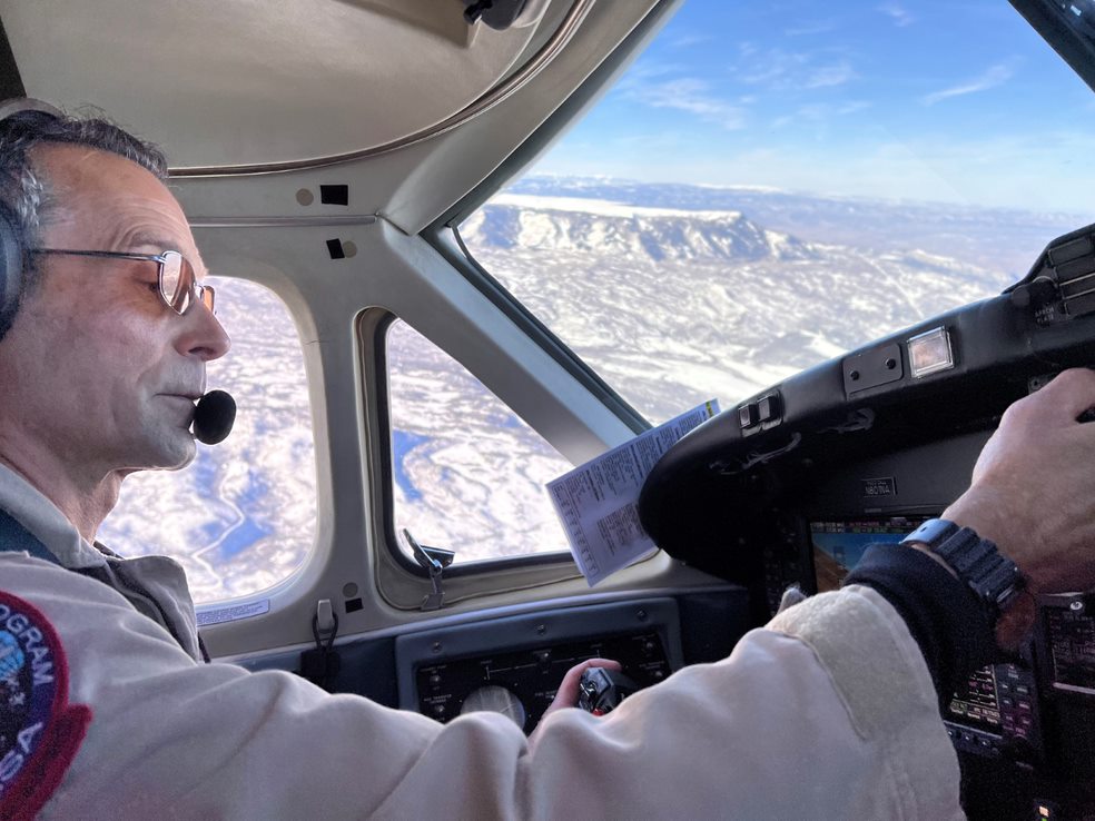
In a series of two deployments in early February and March, pilots from NASA Armstrong Flight Research Center in Edwards Calif., flew the B200 King Air that was retrofitted with a specially designed radar developed by scientists at NASA’s Jet Propulsion Laboratory in Pasadena Calif., to study new methods in measuring the snow levels.
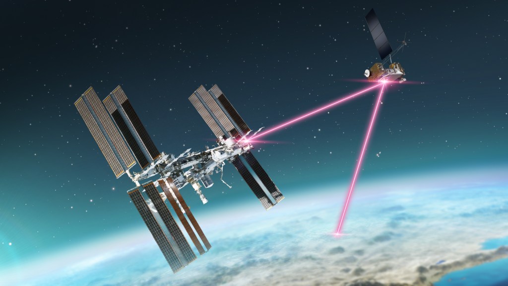
The Signals of Opportunity Synthetic Aperture Radar (SoOpSAR) collects detailed data on the snow that melts from the mountainous region by utilizing radio signals in the environment to communicate information about the snow to scientists and how it contributes to the water supply.
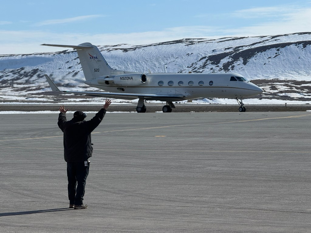
The King Air was temporarily stationed at NASA’s Ames Research Center in California’s Silicon Valley and the Montrose Regional Airport in Montrose, Colo. to fly the aircraft over regions that snow accumulates.
A team of maintenance and quality assurance crews, operations and safety engineers, pilots, and project management at NASA’s Armstrong Flight Research Center came together with NASA’s Ames Research Center to deploy the aircraft and work in conjunction with scientists and researchers at NASA’s Jet Propulsion Laboratory to complete the mission.
NASA’s B200 King Air serves as a testbed for various research projects and is flown for a range of mission support activities. The King Air is also utilized in pilot proficiency flights to assist pilots in maintaining the requirements to fly.
For more information about SoOpSAR, visit https://esto.nasa.gov/nasa-soopsar-satellite-could-give-farmers-fresh-forecasts-of-snowmelt-levels/


