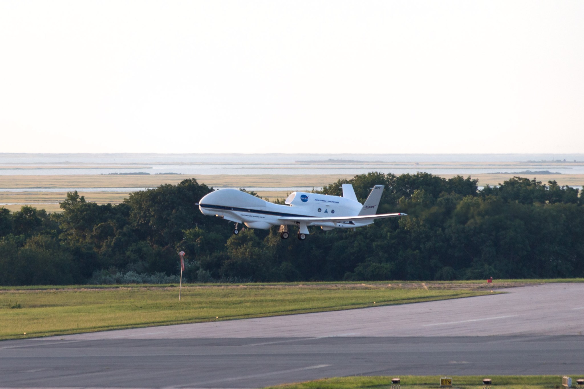
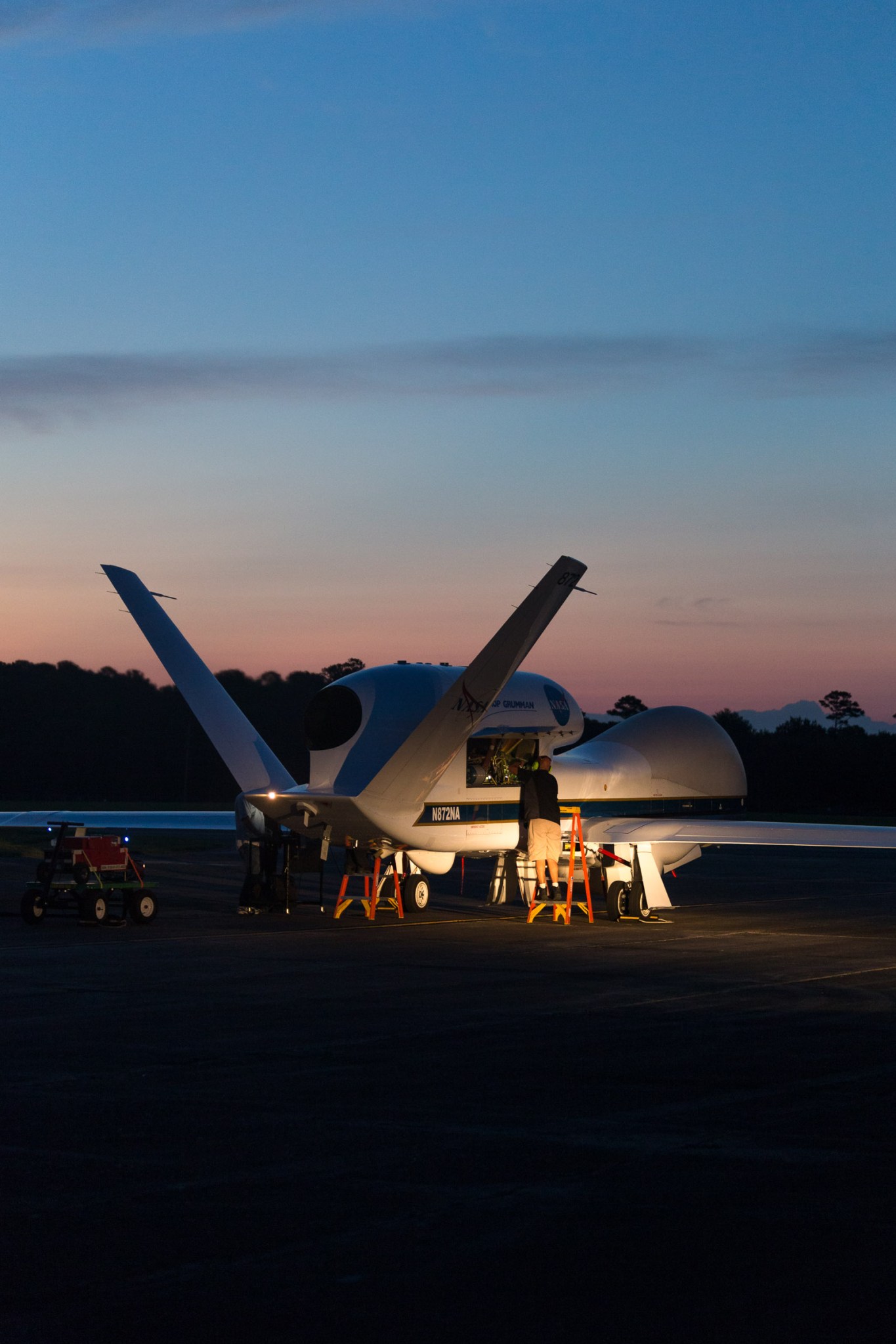
NASA’s remotely piloted Global Hawk 872 is prepared for flight and departs the Wallops Flight Facility in Virginia at 7 a.m., August 26, for a 24 hour flight to study Tropical Storm Erika, located just east of the Leeward Islands. The aircraft is carrying instruments to measure temperature, moisture, wind speed and direction as part of the NOAA- led mission Sensing Hazards with Operational Unmanned Technology (SHOUT). The real-time data will go into the National Weather Service forecast models at the National Hurricane Center.
NASA’s Global Hawk, based at NASA’s Armstrong Flight Research Center in Edwards, California, provides a unique vantage point for weather observations because it flies higher and longer than any manned aircraft. It allows data collection from 60,000 feet, an altitude nearly twice as high as manned aircraft, to the ocean surface.


