


Ames Earth Science Stories Repository
The following articles are chronological in the order they were published, with the most recent appearing at the top of the page.

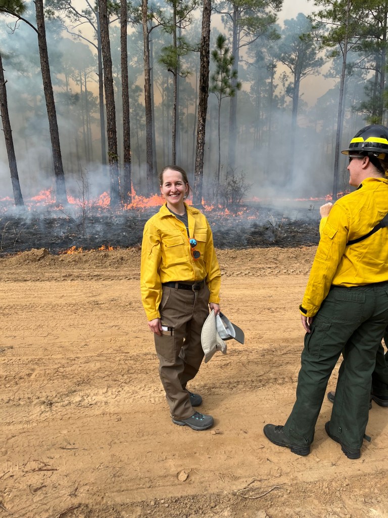
NASA Develops Sensor to Improve Firefighter Safety
With peak wildfire season approaching, scientists with NASA’s FireSense project have created low-cost thermal sensors to install on fire bulldozers that will alert firefighters when heat from a nearby fire…

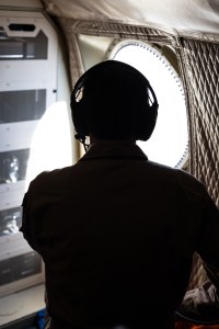
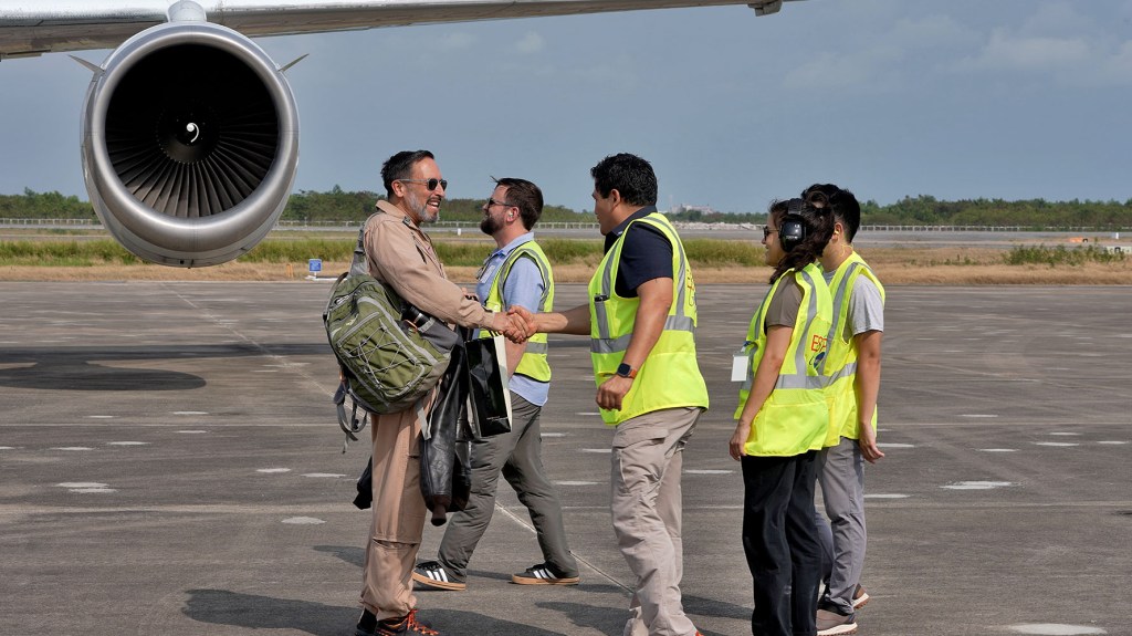
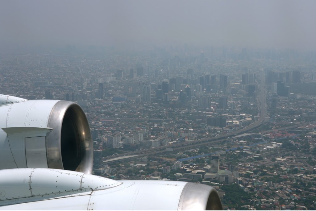
NASA Flies Through a Volcanic Laboratory: Rincón de la Vieja
In summer 2025, a NASA-led team of scientists and engineers gathered in Rincón de la Vieja National Park in Costa Rica. We had a twofold purpose: to test the feasibility of…
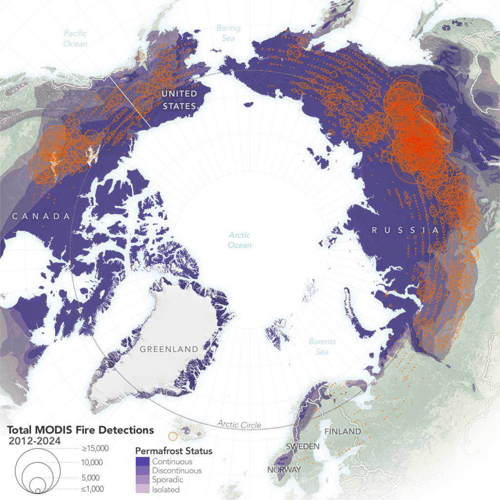
Fire on Ice: The Arctic’s Changing Fire Regime
The number of wildland fires burning in the Arctic is on the rise, according to NASA researchers. Moreover, these blazes are burning larger, hotter, and longer than they did in previous decades.
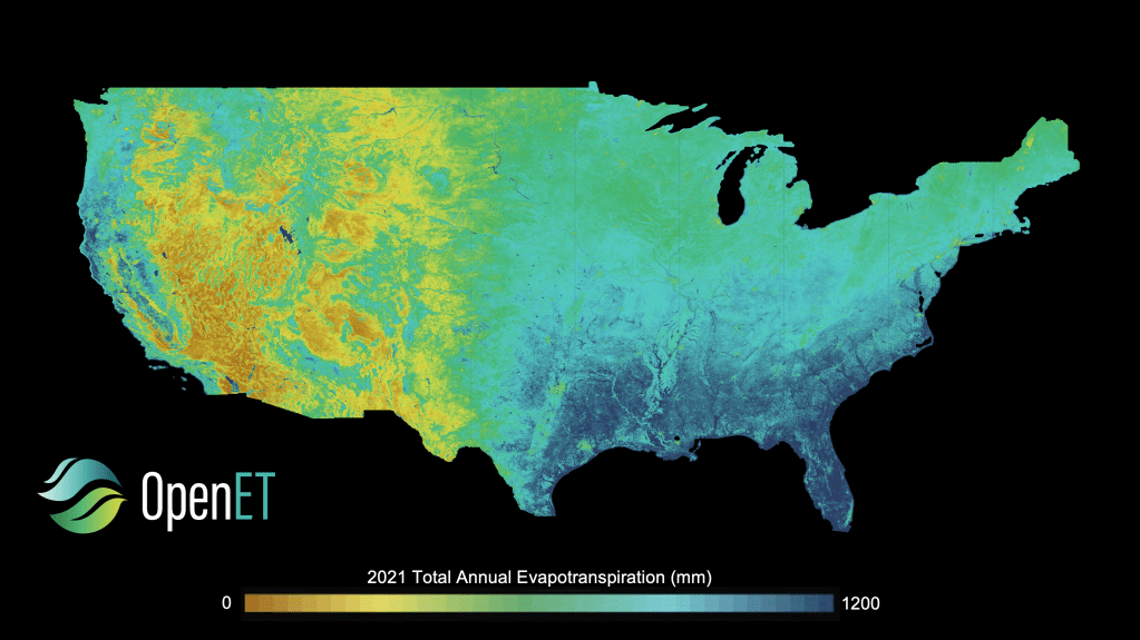
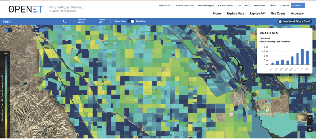
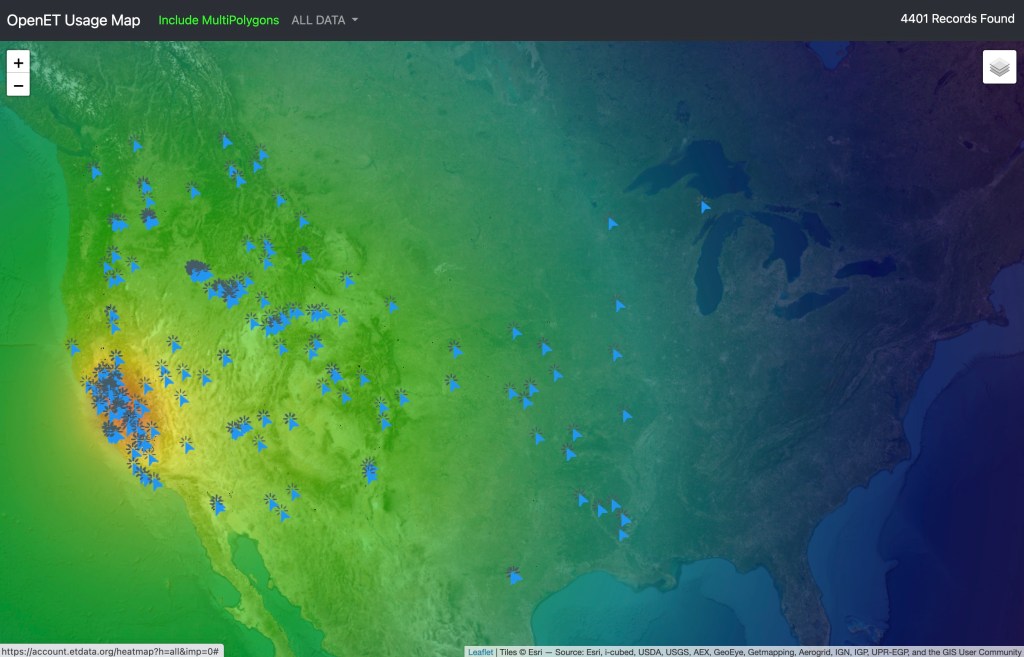
NASA and Partners Expand Crucial Water Tracking Program
All 48 contiguous United States will now benefit from timely, high-resolution water data.<br>The OpenET program, a public-private collaboration led by consortium partners NASA…
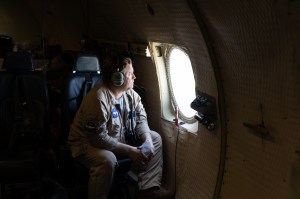
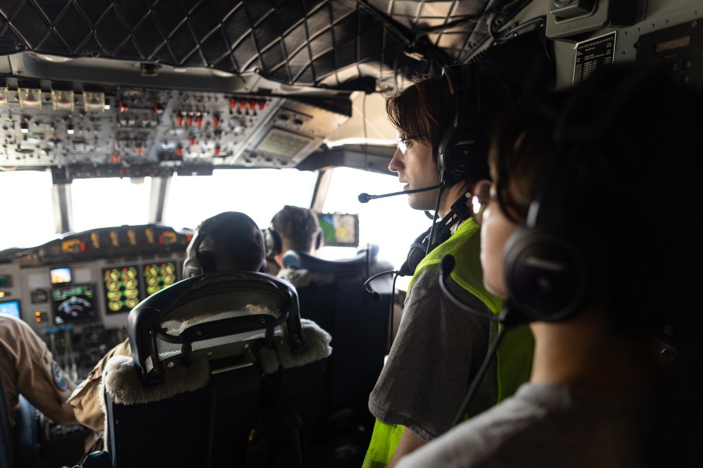
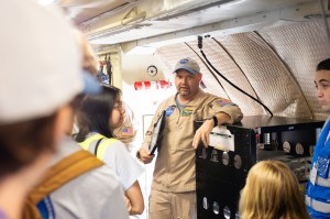
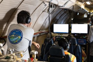
SARP East 2025 Gallery
SARP 2025 Closeout
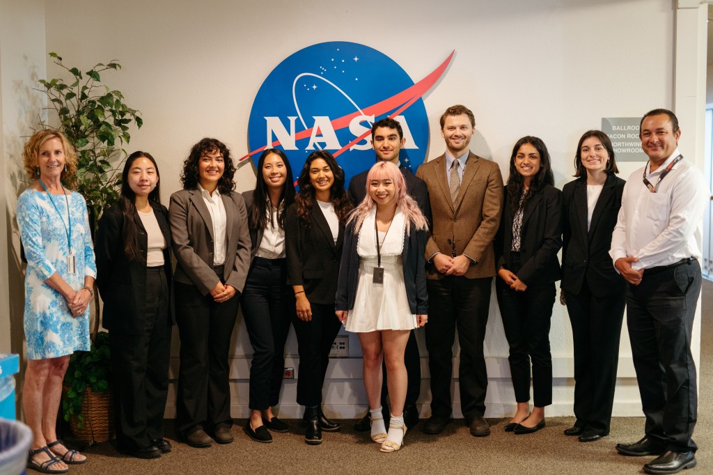
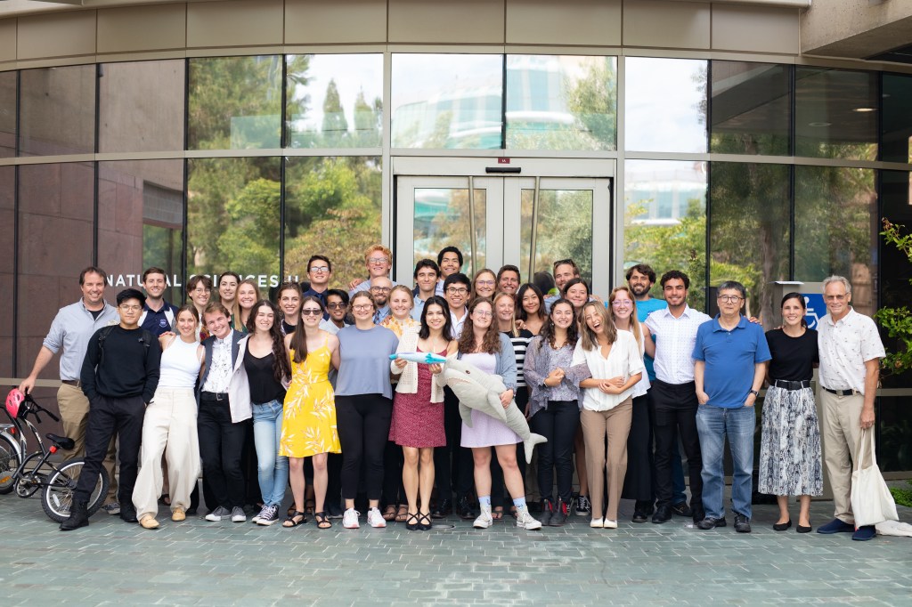
In August 2025, 47 students from NASA’s Student Airborne Research Program (SARP) culminated a summer of science by presenting their research…
SARP West 2025 Gallery
FireSense Fort Stewart Prescribed Burn Campaign Gallery
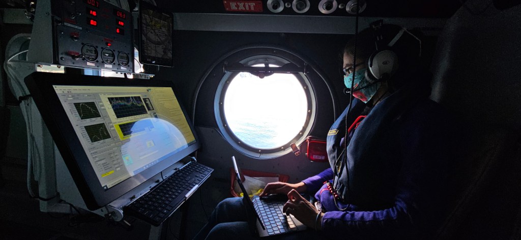
By Air and by Sea: Validating NASA’s PACE Ocean Color Instrument
In autumn 2024, California’s Monterey Bay experienced an outsized phytoplankton bloom that attracted fish, dolphins, whales, seabirds, and – for a few weeks…
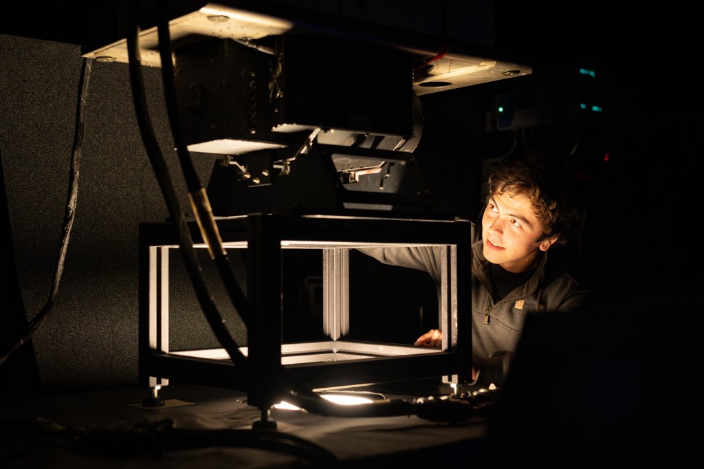
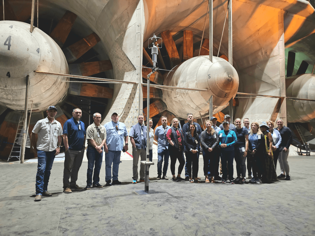
Tuning a NASA Instrument: Calibrating MASTER
NASA’s Ames Research Center in Silicon Valley houses a unique laboratory: the Airborne Sensor Facility (ASF). The engineers at the ASF are responsible for building…
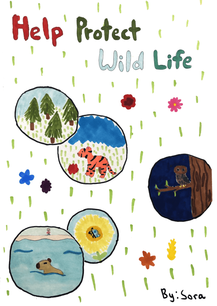
Earth Science Showcase – Kids Art Collection
On April 16, 2025, the Earth Science Division at NASA’s Ames Research Center in Silicon Valley held an Earth Science Showcase to share its work with the center…
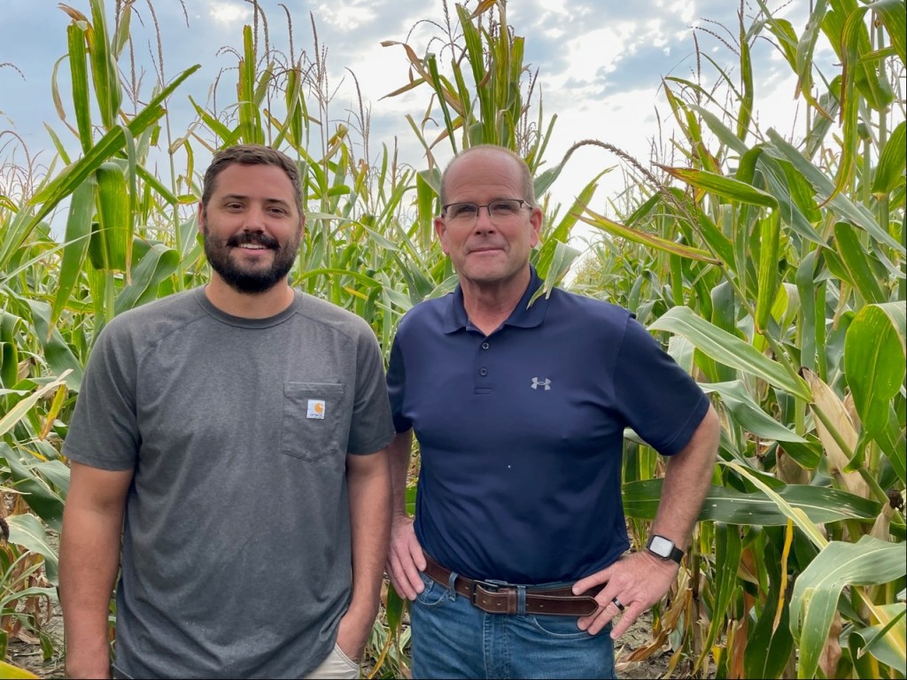
FARMing with Data: OpenET Launches new Tool for Farmers and Ranchers
A NASA and U.S. Geological Survey (USGS)-supported research and development team is making it easier for farmers and ranchers to manage their water resources…
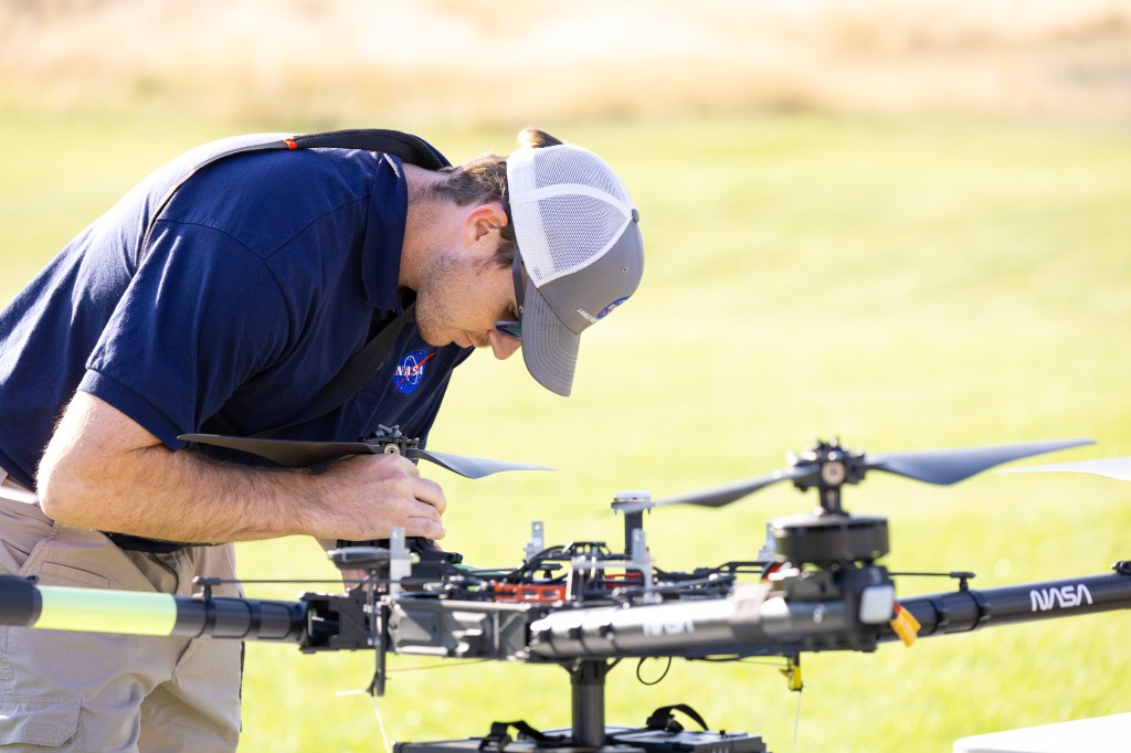
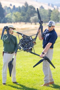
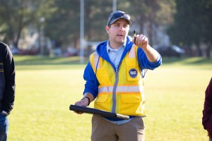
NASA Tests Drones to Provide Micrometeorology, Aid in Fire Response
In Aug. 2024, a team of NASA researchers and partners gathered in Missoula, to test new drone-based technology for localized forecasting…
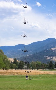
FireSense Missoula Deployment Gallery
S-MODE, ASIA-AQ, and the Role of ESPO in Complex Airborne Campaigns
ESPO solves problems before you know you have them. If you are missing a canister of liquid nitrogen, got locked out of your rental car, or need clearance for a…
2024 SARP Closeout
In August, 2024, 47 students from NASA’s Student Airborne Research Program (SARP) gathered to present their final research, split between the University of…
Scientist Profile: Jacquelyn Shuman Blazes New Trails in Fire Science
Jacquelyn Shuman, FireSense Project Scientist at NASA Ames Research Center, originally wanted to be a veterinarian. By the time she got to college, Shuman…

What is Air Quality?
Clean air is essential for healthy living, but according to the World Health Organization (WHO), almost 99% of the global population breathes air exceeding their…

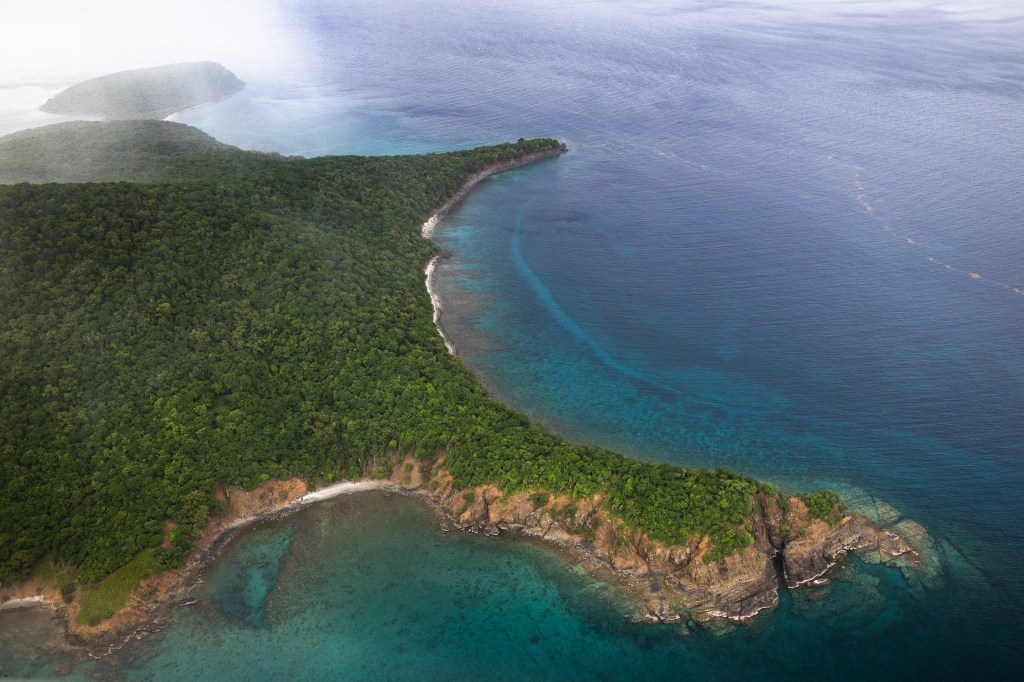
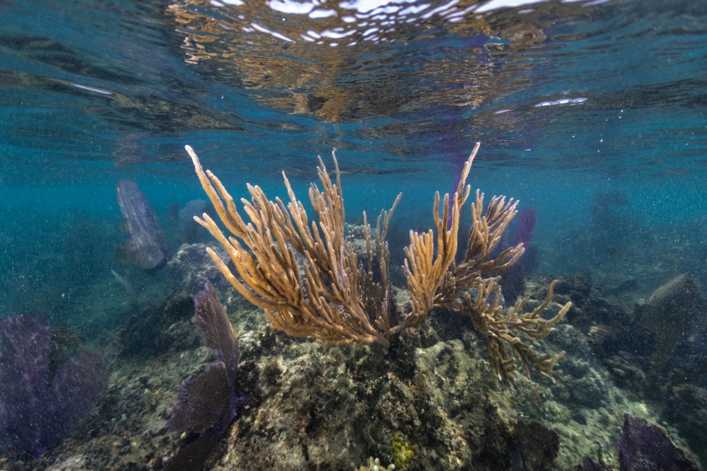
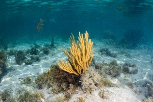
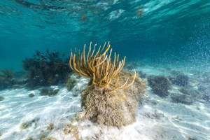
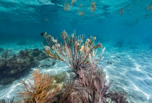
What is a Coral Reef?
Coral reefs cover only 1% of the ocean floor, but support an estimated 25% of all marine life in the ocean, earning them the moniker ‘rainforest of of the sea.’ They also…
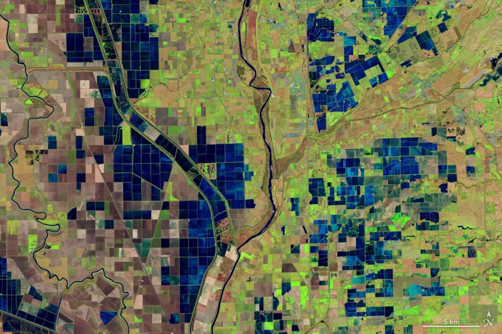
OpenET: Balancing Water Supply and Demand in the West
At the end of 2022, 65 percent of the Western United States was in severe drought, the result of a two decades long mega drought in the Colorado…
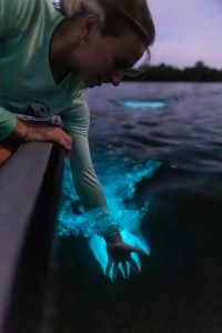
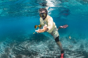
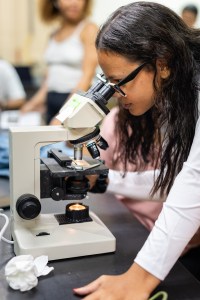
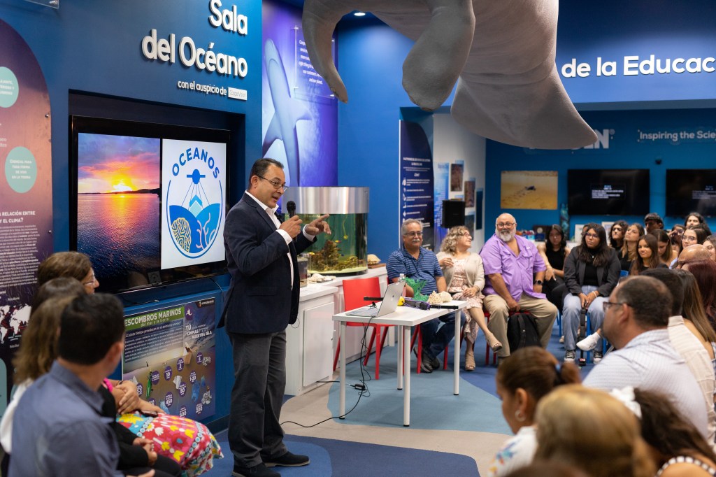
NASA Project in Puerto Rico Trains Students in Marine Biology
Tainaliz Marie Rodríguez Lugo took a deep breath, adjusted her snorkel mask, and plunged into the ocean, fins first. Three weeks earlier, Rodríguez Lugo couldn’t…
OCEANOS 2024 Gallery
Proyecto de la NASA en Puerto Rico capacita a estudiantes en biología marina
Tainaliz Marie Rodríguez Lugo respiró hondo, se ajustó la máscara de buceo y se sumergió en el océano, metiendo primero sus pies cubiertos por aletas. Tres semanas…
Coral Reef Gallery

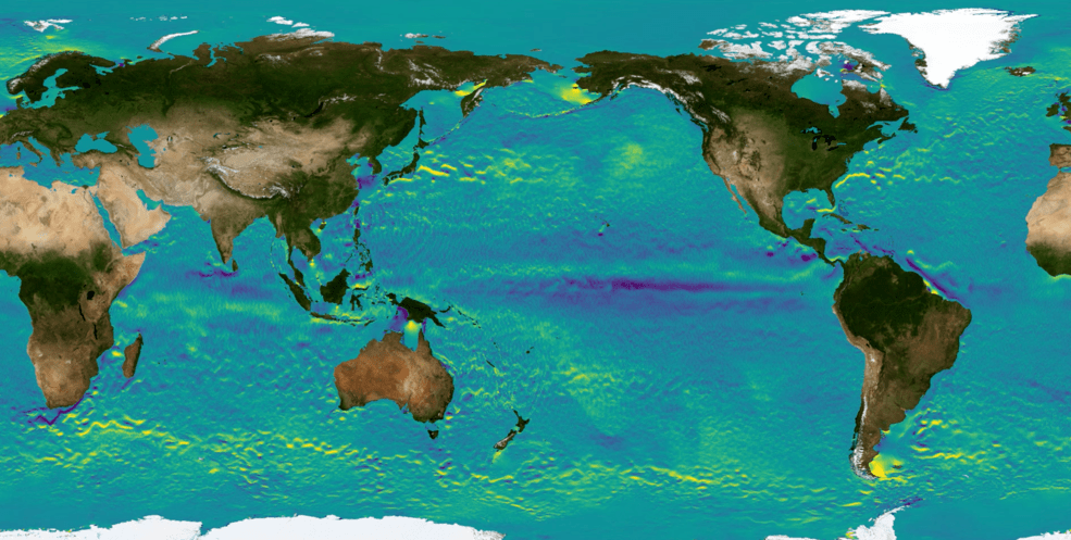
Surfing NASA’s Internet of Animals: Satellites Study Ocean Wildlife
Anchoring the boat in a sandbar, research scientist Morgan Gilmour steps into the shallows and is immediately surrounded by sharks. The warm waters…
Coordinating an Airborne Lab Across the Globe with NASA’s Earth Science Project Office
Tracking the spread of harmful air pollutants across large regions requires aircraft, satellites, and diverse team of scientists. NASA’s global interest in the threat…
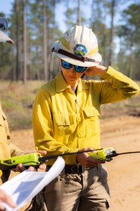
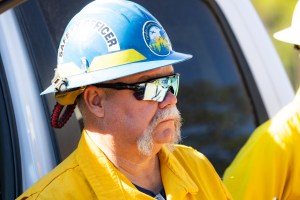
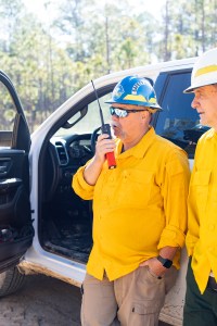
NASA Ames Hosts National Wildfire Coordinating Group
On May 21-23, 2024, the National Wildfire Coordinating Group (NWCG) visited NASA Ames Research Center, with participants representing 13 agencies and…
NASA Open Science Initiative Expands OpenET Across Amazon Basin
The research teams who help sustain the largest freshwater reserve in the world are developing a new tool to promote more resilient farming systems in…
OpenET Study Helps Water Managers and Farmers Put NASA Data to Work
As the world looks for sustainable solutions, a system tapping into NASA satellite data for water management has passed a critical test. Called OpenET, the system…
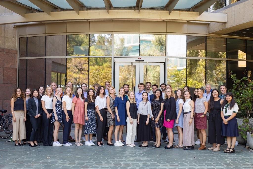
DEVELOP Summer 2023 Closeout and 20th Anniversary Celebration
On Thursday, August 3, 2023 NASA Ames Research Center (ARC) hosted the final presentations from the Summer 2023 DEVELOP class – colloquially referred…
OpenET Launches a New API
On Tuesday, October 3, the OpenET consortium launched an application programming interface (API) and open data service for the satellite-based datasets…
SARP West 2023 Wrapup
On August 9-10, the 2023 participants of the NASA SARP West program presented their final research presentations at the University of California, Irvine, to…
A Peek Behind the OCEANOS Curtain: PI Juan Torres-Perez Reflects on the Origins of the OCEANOS Program & Its Pilot Year
OCEANOS, ‘Ocean Community Engagement and Awareness using NASA Earth Observations and Science for Hispanic/Latino Students,’ is a bilingual, four-week…
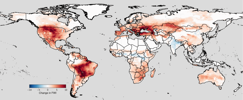
NASA Study Reveals Compounding Climate Risks at Two Degrees of Warming
A NASA study predicts that, if global temperatures keep rising and reach 2 degrees Celsius (3.6 degrees Fahrenheit) above pre-industrial levels, people…
2023 SARP West Gallery
NASA Ames Hosts 20th Annual TFRSAC Meeting, Highlights Interagency Collaboration for Wildfire Management
On April 19 and 20, the Earth Science Division at NASA Ames Research Center in Silicon Valley hosted the 20th anniversary TFRSAC (Tactical Fire Remote Sensing…
Celebrating Our Ocean World at NASA in Silicon Valley
If early academics had known that our planet’s surface is more than 70 percent water, they might have named it Planet Ocean! This Earth Day, NASA’s Ames…
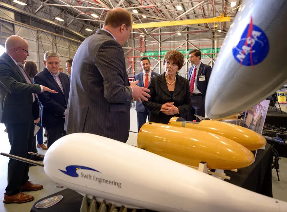
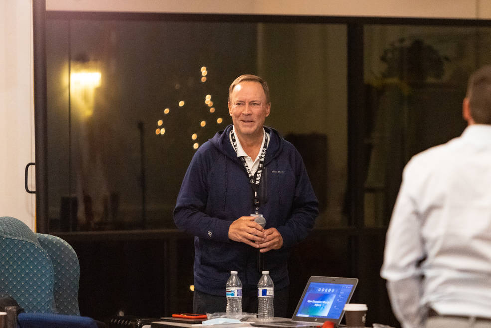
NASA Leaders View Climate Science, Wildfire Innovations at NASA Ames
On April 13, NASA’s top leadership visited the agency's Ames Research Center in California’s Silicon Valley to learn about the center’s climate science and innovations…
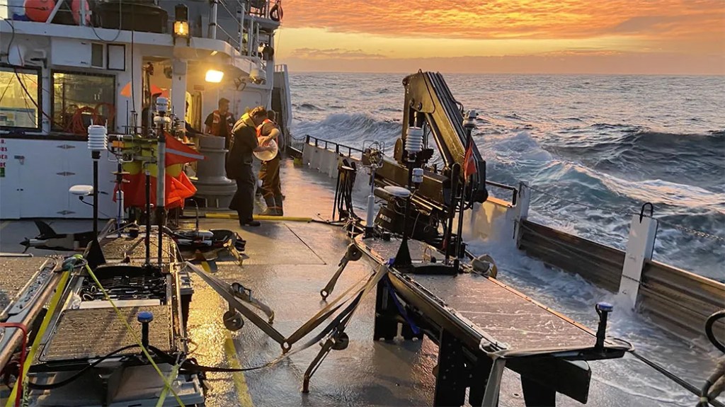
NASA’s S-MODE Field Campaign Deploys to the Pacific Ocean
The mission’s fleet of ship, aircraft, and marine robotics will study ocean eddies and other elusive features near the surface that have a big influence on climate. When…

Toward Greater Diversity in Earth Sciences: NASA’s Student Airborne Science Activation Program
Understanding Earth and the complex influences on our planet’s climate are some of the biggest challenges of our times, and we need all the help we can get to…
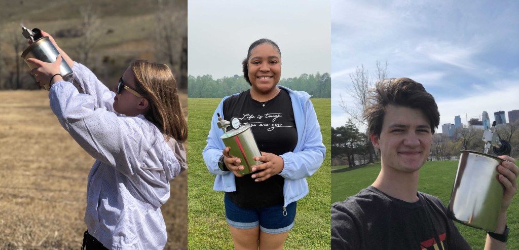
Backyard Science: NASA Airborne Science Interns Collect Data from Home
For more than a decade, dozens of students from across the United States traveled to California to collect air samples aboard NASA research aircraft. Since 2009…
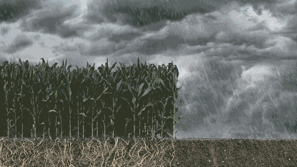
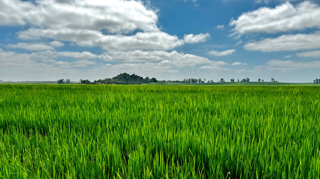
Evapotranspiration: Watching Over Water Use
As soil and other surfaces dry, water is transferred into the air as water vapor. That is evaporation. Plants actively release water, moving it out of their leaves and…
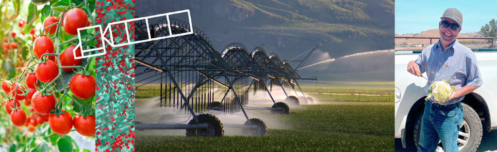
NASA Watches Water to Help Grow Our Groceries
Every day – up to thirty times a day, in fact – one of Mark Mason’s employees at Nature’s Reward Farms in Monterey County, California brings him the results of a…
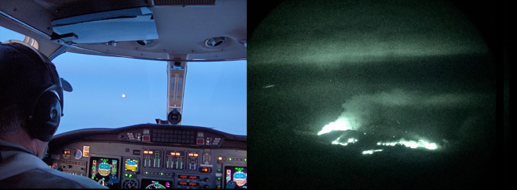
NASA Tracks Wildfires From Above to Aid Firefighters Below
Every evening from late spring to early fall, two planes lift off from airports in the western United States and fly through the sunset, each headed for an active wildfire…