Featured News

NASA Scientists Map Plant Productivity with Data from Ocean Satellite

NASA Seeks Volunteers to Track Artemis II Mission

NASA Test Deploys Roman Space Telescope Solar Panels, ‘Visor’

Astronomers Map Stellar ‘Polka Dots’ Using NASA’s TESS, Kepler
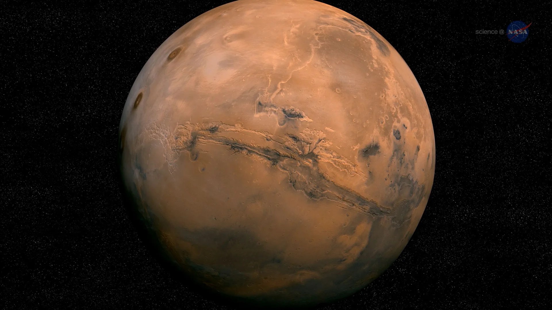
Mars’ Lumpy Interior
Rocky material that impacted Mars lies scattered in giant lumps throughout the planet’s mantle, offering clues about Mars’ interior and its ancient past.
Learn More about Mars’ Lumpy Interior
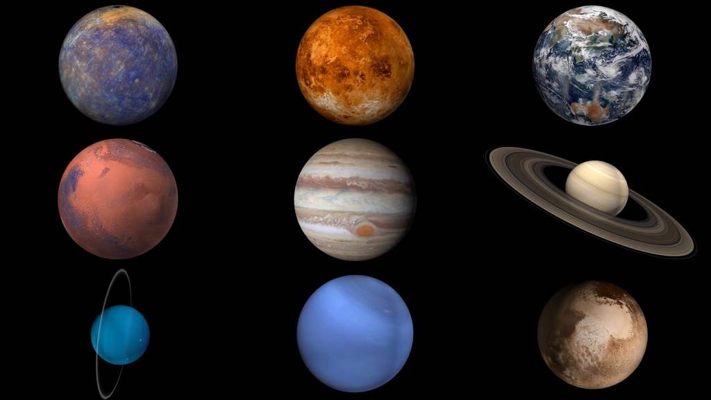
The Solar System
Today
Image Of The Day
Landsat 9 Sees Buccaneer Archipelago
In the sparsely populated Kimberley region of Western Australia, jagged landforms reach like fingers into the turquoise-blue ocean waters. Along the coastline north of Derby, they used to reach even farther. But rising sea levels submerged part of the coastal landscape, giving rise to hundreds of islands and low-lying reefs that compose the Buccaneer Archipelago.
Image Galleries
Explore the Universe from your Inbox
Stay up-to-date on the latest news from NASA–from Earth to the Moon, the Solar System and beyond.
We will never share your email address.

Earth Science
Explore our changing planet
For more than 50 years, NASA satellites have provided data on Earth’s land, water, air, temperature, and climate. NASA’s Earth Information Center allows visitors to see how our planet is changing in six key areas: sea level rise and coastal impacts, health and air quality, wildfires, greenhouse gases, sustainable energy, and agriculture.
Earth Information Center about Explore our changing planet


-Carolyn_Y._Ng.jpeg?w=1024)


