


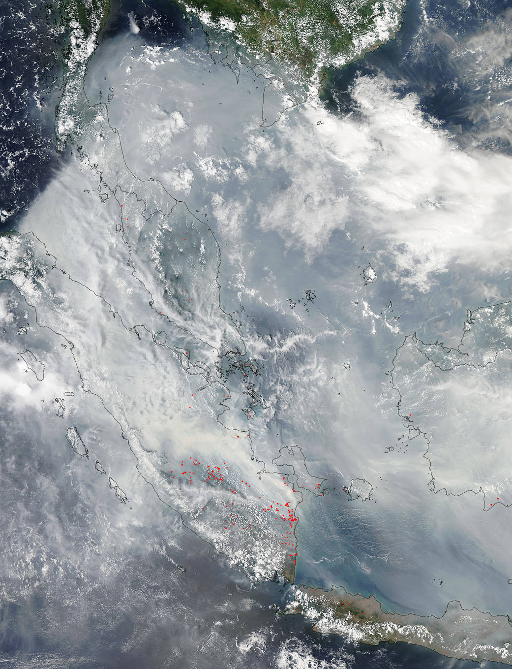
Heavy smoke drapes over the islands of Borneo and Indonesia from fires that farmers set and use to clear their lands. The Moderate Resolution Imaging Spectroradiometer (MODIS) on NASA’s Aqua satellite captured this image on October 22, 2015. Red outlines indicate hot spots where the sensor detected unusually warm surface temperatures associated with fires. The smoke hanging overhead has triggered air quality alerts and health warnings in Indonesia and neighboring countries.
Many of the fires are burning on the islands are in areas with peat which is a soil-like mixture of partly decayed plant material formed in wetlands. Peat fires tend to be difficult to extinguish and can smolder under the surface for months continuously releasing smoke and pollutants. Peat also releases much more thick, dark smoke than usual grass fires, and also releases many more serious pollutants including carbon monoxide and methane.
MODIS sensors on the Terra and Aqua satellites have detected fires burning in southern Sumatra since early September. Scientists monitoring the fires expect the fires to continue burning until the monsoon rains arrive at the end of October. However, they caution that the dry season could be unusually long in Indonesia this year because of the strong El Niño present in the Pacific Ocean.
NASA image courtesy Jeff Schmaltz, MODIS Rapid Response Team. Caption: NASA/Goddard, Lynn Jenner with information from Earth Observatory