


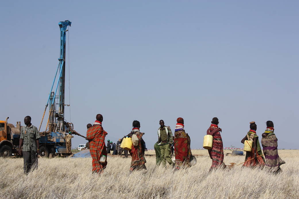
Turkana women coming with containers to gather newly discovered water from a drilled well in the Lotikipi basin.
Radar Technologies International’s WATEX System uses Landsat data, which contains information on surface topography and rock chemistry, to help locate underground water. Pictured here are Turkana women coming with containers to gather newly discovered water from a drilled well in the Lotikipi basin.
For more information about this technology or any other spinoff, please visit http://spinoff.nasa.gov/.
Image Credit: Radar Technologies International