


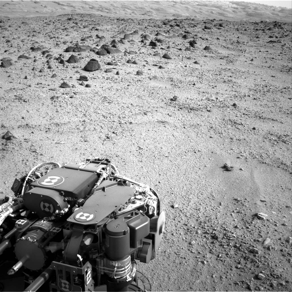
The lower slopes of Mount Sharp appear at the top of this image taken by the right Navigation Camera (Navcam) of NASA’s Mars rover Curiosity at the end of a drive of about 135 feet (41 meters) during the 329th Martian day, or sol, of the rover’s work on Mars (July 9, 2013). That was the third drive by Curiosity since finishing observations at the mission’s final science target in the “Glenelg” area east of the rover’s landing site. The planned entry point to the lower layers of Mount Sharp, the mission’s next major destination, lies about 5 miles (8 kilometers) to the southwest.
The turret of tools at the end of Curiosity’s robotic arm is in the foreground, with the rover’s rock-sampling drill in the lower left corner of the image.
Image credit: NASA/JPL-Caltech