


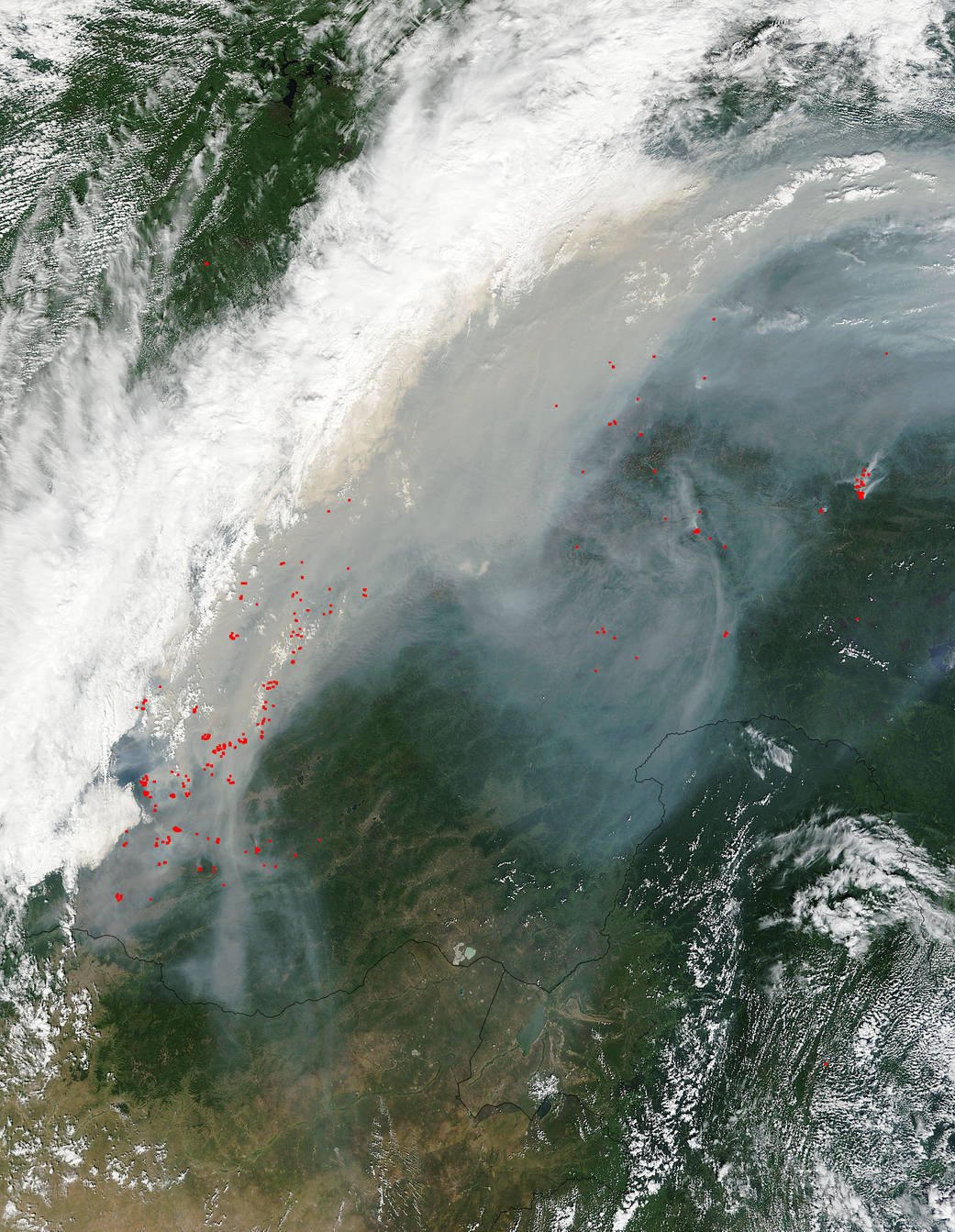
The area of forest fires in Russia’s Siberian Federal District has grown over three times over the last 24 hours to 108,300 hectares (267,615 acres) for a total of 146 fires. More than half of forest fires on the area of 63,600 hectares are blazing in the Buryatia Republic in south Siberia (red dots indicating fires in this Terra satellite image). Lake Baikul cannot be seen in this image. It is obscured by clouds and smoke.
Another 27,200 hectares (67,212 acres) are engulfed by fire in the Zabaikalye Territory (directly to the right of the Buryatia Republic on the image). Blazes are also reported in the Republic of Tyva and Zabaikalsky Krai. A total of 10,700 hectares (26, 440 acres) of forest fires are registered in nature reserves in Buryatia and Irkutsk Region. Forest guards have quelled 52 forest fires for a total of around 5,. Around 3,500 people, 499 units of special equipment and 11 aircraft were employed in the firefighting.
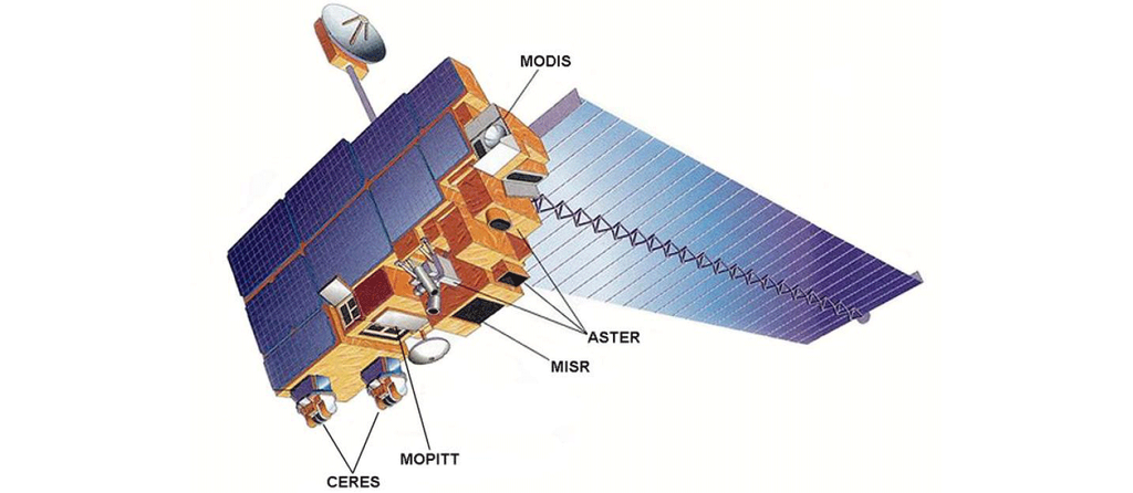
This natural-color satellite image was collected by the Moderate Resolution Imaging Spectroradiometer (MODIS) aboard the Terra satellite on August 10, 2015. Actively burning areas, detected by MODIS’s thermal bands, are outlined in red. NASA image courtesy Jeff Schmaltz, MODIS Rapid Response Team. Caption: NASA/Goddard, Lynn Jenner with information from the Russia News Agency TASS