


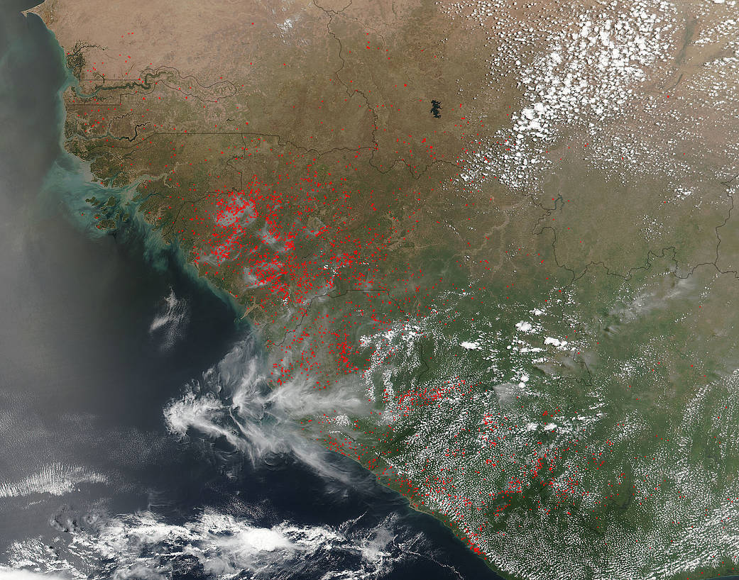
NASA's Suomi NPP satellite collected this natural-color image using the VIIRS (Visible Infrared Imaging Radiometer Suite) instrument on April 30, 2016.
NASA’s Suomi NPP satellite collected this natural-color image using the VIIRS (Visible Infrared Imaging Radiometer Suite) instrument on April 30, 2016. The location, widespread nature, and number of fires suggest that these fires were deliberately set to manage land. Actively burning areas are outlined in red. Farmers often use fire to return nutrients to the soil and to clear the ground of unwanted plants.
NASA image courtesy Jeff Schmaltz, Rapid Response Team. Caption: NASA/Goddard, Lynn Jenner