


Dr. Steve Hipskind: “No Place Like Home: How (and Why) Does NASA Study Earth From Space?’
on the planet. But how do we know how much CO2 is in the atmosphere, how it is distributed and how it is impacting the climate? How do we know the
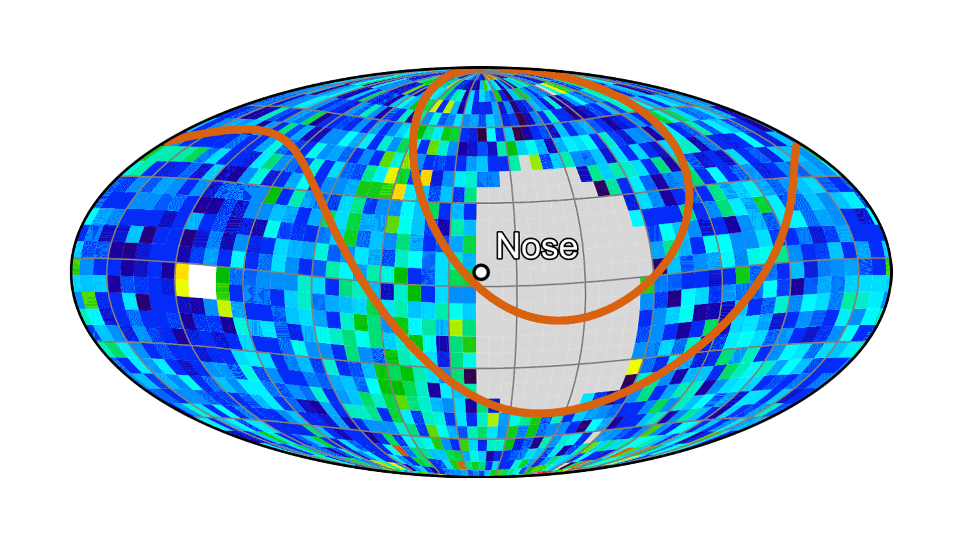
health of the stratospheric ozone layer that protects all life on Earth from damaging solar radiation? What is the one observation from space that is the only unique signature of human presence? And why do we care?
Come hear answers and perspectives on these and other questions about the only planet we know to harbor life.
BIO:
Steve Hipskind is the Chief of the Earth Science Division at NASA Ames. The division is primarily a research group working on global to local problems in
Earth system science using NASAąs unique perspective from space. Steve grew up wanting to be an oceanographer watching and reading Jacques Cousteauąs Silent
World and the adventures of Mike Nelson on the TV series Sea Hunt. A graduate course in meteorology changed his primary fluid from the ocean to the
atmosphere. Prior to becoming the division chief, Steve conducted research in stratosphere-troposphere exchange and managed NASA airborne field campaigns
around the world. His fieldwork has taken him from Punta Arenas, Chile on the Strait of Magellan to Kiruna, Sweden above the Arctic circle.” Credits: Talks at Google
Dr. Steve Hipskind | WEST Summit 2014 – November 19th, 2014
TEDxNASA@SiliconValley – Rama Nemani – Mission to Planet Earth
NASA Earth Exchange – Rama Nemani (SETI Talks)
Dr. Laura Iraci – Up in the Air: Methane and Ozone Over California
Forrest Melton – Operational Mapping of Evapotranspiration over Agricultural Land
Forrest Melton1, NASA ARC-CREST, forrest.s.melton@nasa.gov, CC 16506042787
Andrew Vitale6, Desert Research Institute, Andrew.Vitale@dri.edu
Charles Morton5, Desert Research Institute, Charles.Morton@dri.edu
Justin Huntington2, Desert Research Institute, Justin.Huntington@dri.edu
Kirk Post4, NASA ARC-CREST, kpost@csumb.edu
Lee F. Johnson3, NASA ARC-CREST, lee.f.johnson@nasa.gov
A key challenge in groundwater modeling in California is the limited historic data on groundwater withdrawals for irrigation. Satellite mapping of evapotranspiration (ET) is an efficient way to quantify consumptive water use and can play an important role in filling this data gap. Recent advances in satellite mapping of ET have made it possible to largely automate the process of mapping ET over large areas at the field-scale. This development allows for the creation of multi-decade time series that can be used to constrain groundwater models and improve estimates of groundwater withdrawals in agricultural regions. We present an approach for operational mapping of ET in California that leverages two automated ET mapping capabilities to estimate ET at the field scale over agricultural areas in the California Central Valley. We utilized the NASA Earth Exchange and applied a python-based implementation of the METRIC surface energy balance model and the Satellite Irrigation Management Support (SIMS) system, which uses a surface reflectance-based approach, to map ET over agricultural areas in the Central Valley. Though theoretically and computationally quite different from each other, the combined approach increases data continuity and reduces reliance on a single satellite or sensor. We present a comparison of results from both models, and discuss the strengths of limitations of the combined approach. We also discuss comparisons against ET measurements collected on commercial farms in the Central Valley and discuss implications for accuracy of the two different approaches. The objective of this analysis is to provide data that can support planning for the development of sustainable groundwater management plans, and assist water managers and growers in evaluating irrigation demand during drought events. Credits: Toward Sustainable Groundwater in Agriculture 2016