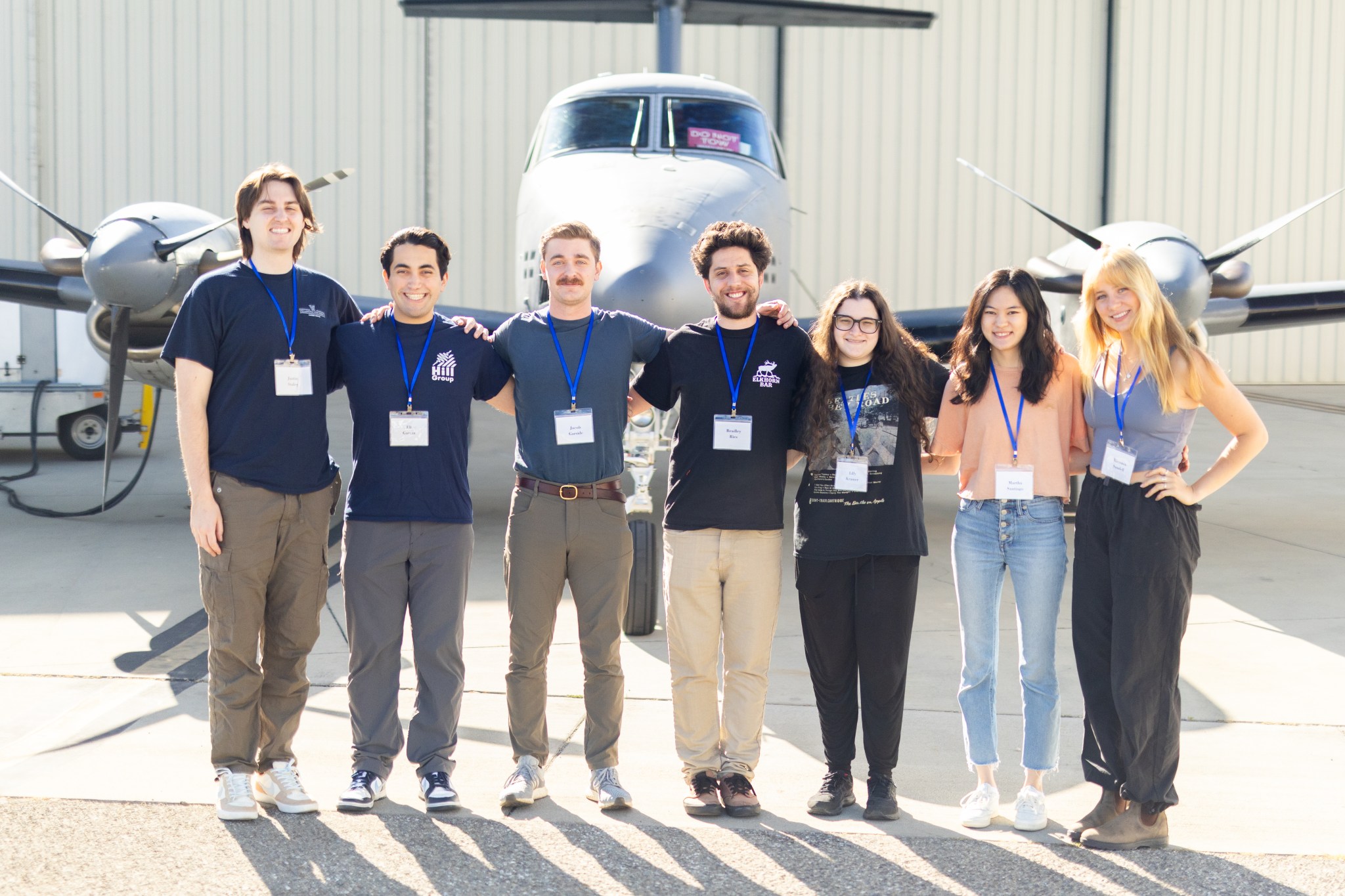
Faculty Advisors:
Andreas Beyersdorf, California State University, San Bernardino
Graduate Mentor:
Bradley Ries, University of California, Riverside
Aerosols Group Introduction
Faculty Advisor Andreas Beyersdorf
Martha Santiago
Aerosol Pollution in Two Coastal Agricultural Regions in the United States
Martha Santiago, Northwestern University
Although air quality has improved across the United States since the passage of the Clean Air Act in 1970, air pollution remains an issue for millions of Americans. Livestock, fertilizers, and pesticides can release pollutants into the surrounding environment, which may be associated with adverse health effects like asthma and cardiovascular disease, in nearby populations. Because some aerosols are tracers for agriculture, examining aerosol concentrations and composition can help better understand sources and impacts of air pollution. Here, we compare two agricultural regions, the Central Valley in California, which is dominated by fruit, nut, and cattle farms, and the Delmarva Peninsula, which comprises chicken hatcheries and vegetable farms. Using airborne data from the Aerosol Mass Spectrometer (AMS), we compare relative and absolute levels of ammonium (NH4+), chloride (Cl-), nitrates (NO3-), organics, and sulfates (SO42-), and calculate total particulate matter smaller than one micron (PM1). We also examine other agricultural pollutants such as methane (CH4), a tracer for agricultural activity, and compare hotspots between each region. Although both regions are known for high levels of agriculture, our results indicate that their aerosol and trace gas compositions and concentrations vary significantly. On the Delmarva Peninsula, air pollution appears to be a regional issue; average pollutant concentrations are higher but evenly distributed. Conversely, pollution in the Central Valley is localized, as indicated by higher pollutant peaks that overlap over clusters of communities. Understanding differences in composition, concentration, and distribution enables communities and policymakers to identify solutions to address air pollution and to improve air quality.
Eli Garcia
Analysis of missed approaches across the Los Angeles basin with a focus on Long Beach aerosol composition
Eli Garcia, Trinity College
Aerosols play an important part in the overall air quality, visibility, and human health in urban and rural areas alike. Within the urban sprawl of Los Angeles, many sources of anthropogenic aerosols contribute meaningfully to the improving, yet still below-average air quality of the greater metropolitan area. Because of the relative size and topography of urban Los Angeles, the area can be divided into multiple distinct regions each with distinct sources and compositions of aerosols. To better understand these sources, missed approaches were examined from the NASA Student Airborne Research Program flight campaigns over the last two summers. These missed approaches provide us with an accurate snapshot of the local aerosol composition for people living near these airports, so that we can better understand the sources of these pollutants. For this study, we used aerosol mass spectrometer data to determine the relative amounts of organics, sulfates, nitrates, ammonium, and chlorides. We were also able to collect the total number count of particulate matter and the nonvolatile number count utilizing a condensation particle counter. Data were acquired from six common airports where missed approaches were performed, and we discovered the aerosol composition varies based on the location within the basin. At airports with large amounts of traffic and warehouses, nitrates are a greater portion of total mass, while at airports with a greater concentration of industry, like Long Beach, sulfates are also a greater fraction. By determining what the largest contributing aerosols are and their major sources, efforts can be focused to mitigate these specific polluters.
Kiersten Sundell
Mega-Feedlots, Mega-Impact: Differences in Health Outcomes in California’s Imperial Valley
Kiersten Sundell, University of Rhode Island
Imperial Valley communities show asthma rates significantly higher than California averages across all age groups, despite relatively low particulate matter (PM2.5 and PM10) readings at regulatory monitoring stations. This health-pollution disconnect indicates potential unmeasured emission sources in a region dominated by industrial cattle feedlots. Imperial Valley hosts California’s largest Concentrated Animal Feeding Operation (CAFO) and slaughterhouse, facilities that confine thousands of cattle and produce large volumes of methane, PM, nitrous oxide, and ammonia, producing complex aerosols linked to respiratory and cardiovascular health impacts. While previous studies have used downwind total suspended particulate filters, dispersion modeling, and supply chain mapping to assess CAFO emissions, these approaches often miss concentrated pollution hotspots. We combine aerosol data from the NASA Student Airborne Research Program, EPA air quality monitoring stations, IPCC calculations, and California wastewater permits to quantify and map emissions from the state’s largest cattle feedlot and slaughterhouse: Brandt Beef in Calipatria and Brawley, California. We mapped these pollutants against health and demographic data in California’s Imperial Valley using data from California Department of Public Health and CalEnviroScreen, finding significant correlations between pollutant spread and prevalence of health indicators such as asthma and cardiovascular disease. Our analysis reveals that Brandt Beef operations emit 26.73 tons of methane and 39.98 tons of nitrous oxide daily. Airborne measurements revealed elevated PM concentrations around facilities, while spatial analysis showed significant correlations between facility proximity and health conditions. These findings indicate that large-scale cattle operations are associated with measurable environmental impact in the surrounding communities, which may be linked to differences in health outcomes, despite compliance with federal air quality standards.
Lilly Kramer
Dust Over the Salton Sea
Lilly Kramer, Oberlin College
Dust storms occur from winds picking up loose sediments, which creates health issues for surrounding populations. The largest dust source in the US is found in California’s Owens Dry Lake. These dust storms are incredibly toxic, carrying carcinogens from the exposed lakebed (playa) into the atmosphere and toward people. The Salton Sea is a lake in California that is rapidly drying, exposing its playa to the environment. In its decline, the Salton Sea mirrors the fate of Owens Lake, which dried up in 1905. A 2024 research paper by Eric C. Edwards (et al.) used a spatially explicit particle transport model to demonstrate increased dust emissions from the Salton Sea. Our research will showcase environmental evidence that the increasing playa creates more dust in the Salton Sea area, corroborating the existing model. This was achieved by analyzing the NASA Student Airborne Research Program flight data over nearly a decade. An Ultra-High Sensitivity Aerosol Spectrometer (UHSAS) and Laser Aerosol Spectrometer (LAS) provided the information on the size of aerosol particles and their quantity. The analysis established a trend of increasing dust particles over the Salton Sea area by looking at particles over 500 nm in diameter. This trend is currently dangerous for the people living near the lake, as increased toxic dust causes significant health issues. This problem will only be exacerbated because if the lake continues its projected path and completely dries up, it could create massive toxic dust storms that extend much farther.
Justin Staley
Seasonal Variability in Boundary Layer Vertical Profiles over Los Angeles: A Comparative Analysis of Summer and Winter Conditions
Justin Staley, Villanova University
The planetary boundary layer (PBL) is the lowest part of the atmosphere, in situ air that borders the free troposphere and the Earth’s surface. Characterized by turbulent mixing, PBL plays an important role in climate patterns, weather dynamics, and air quality, and is influenced by external factors such as temperature, geography, and proximity to the ocean. This project analyzes the seasonal differences in PBL characteristics over the greater Los Angeles area by asking how vertical profiles of trace gases and aerosols compare during missed approaches in summer 2025 and winter 2021. Aircraft-based measurements of trace gases (CH₄, NH₄, O₃, NO₃), organic aerosols, and total number count of aerosols, were used to analyze how the PBL structure influences pollutant distribution across urban and coastal regions. Results indicate that summer mornings often exhibit deeper boundary layers from increased solar intensity. In contrast, winter morning profiles exhibit shallower and more stable boundary layers from less warming and more cloud coverage, with weaker vertical mixing. Observed chemical species, particularly O₃ and NH₄, displayed distinct vertical gradients at the PBL top, aiding in defining its height and dynamics. Additionally, ozone concentrations increase above PBL, while total aerosol number counts vary with altitude and location. These findings provide insight into pollutant dispersion, chemical reactivity, implications for regional air quality modeling, and a better understanding of the role of local geography and meteorology in shaping boundary layer behavior in Southern California.
Jacob Garside
Biomass Burning Aerosol Fingerprints: Combining Absorption and Trace Gas Measurements for Plume Characterization
Jacob Garside, Plymouth State University
With thousands of wildfires occurring annually in California, understanding smoke composition is critical for air quality and climate assessments. As wildfire severity and intensity are increasing year over year, being able to characterize aerosol plumes becomes more important. This study examines two significant 2025 fires through combined airborne and ground-based measurements: the June 30th Juniper Fire and the 24-day Eaton Fire (January 7th–31st). During the NASA Student Airborne Research Program, the P-3B aircraft intercepted the Juniper Fire plume, enabling a comprehensive analysis of biomass burning aerosols. We investigated whether aerosols and trace gases could serve as definitive fire signatures by comparing aircraft and surface measurements. The study utilized absorption measurements from both the airborne Langley Aerosols Research Group, instrument suite and a ground-based Atmospheric Science and Chemistry mEasuremet NeTwork (ASCENT) aethalometer to derive the absorption Ångström exponent (AAE), while simultaneous CO and CO₂ measurements on the aircraft identified plume intercepts and combustion efficiency. Calculated AAE values of 1.5-1.7 indicated mixed contributions from black carbon and brown carbon, which is characteristic of biomass burning. Elevated CO to CO₂ ratios confirmed inefficient smoldering fires, as high values of CO are usually linked to such fires. These findings demonstrate that integrated AAE and trace gas measurements from multiple platforms effectively characterize smoke composition, providing valuable discrimination between black carbon and brown carbon-dominated plumes for improved atmospheric modeling and public health assessment.


