


Just 10 days after a major earthquake struck the region and left roughly 340,000 people homeless, Mount Merapi erupted, on June 6, 2006. The volcano, which had been active since April, sent lava and hot gas down its slopes and prompted the evacuation of more than 10,000 villagers. Vulcanologists and local inhabitants continued to wait warily for the volcano’s next move.
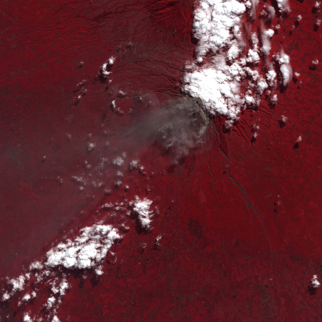
In this June 6 false-color image from the Advanced Spaceborne Thermal Emission and Reflection Radiometer on NASA’s Terra satellite, red indicates vegetation, and the brighter the red, the more robust the plant life. Clouds appear as bright, opaque white, and the volcanic plume appears as a dingy gray cloud blowing toward the southwest.
Volcanic eruptions often produce fertile soil, making lush vegetation common on volcanic slopes. In turn, the fertile soils attract people who want to farm the land and raise livestock. Mount Merapi occupies a densely populated region, so its activity affects many thousands of people.Image credit: NASA/GSFC/METI/ERSDAC/JAROS and U.S./Japan ASTER Science Team/ Jesse Allen