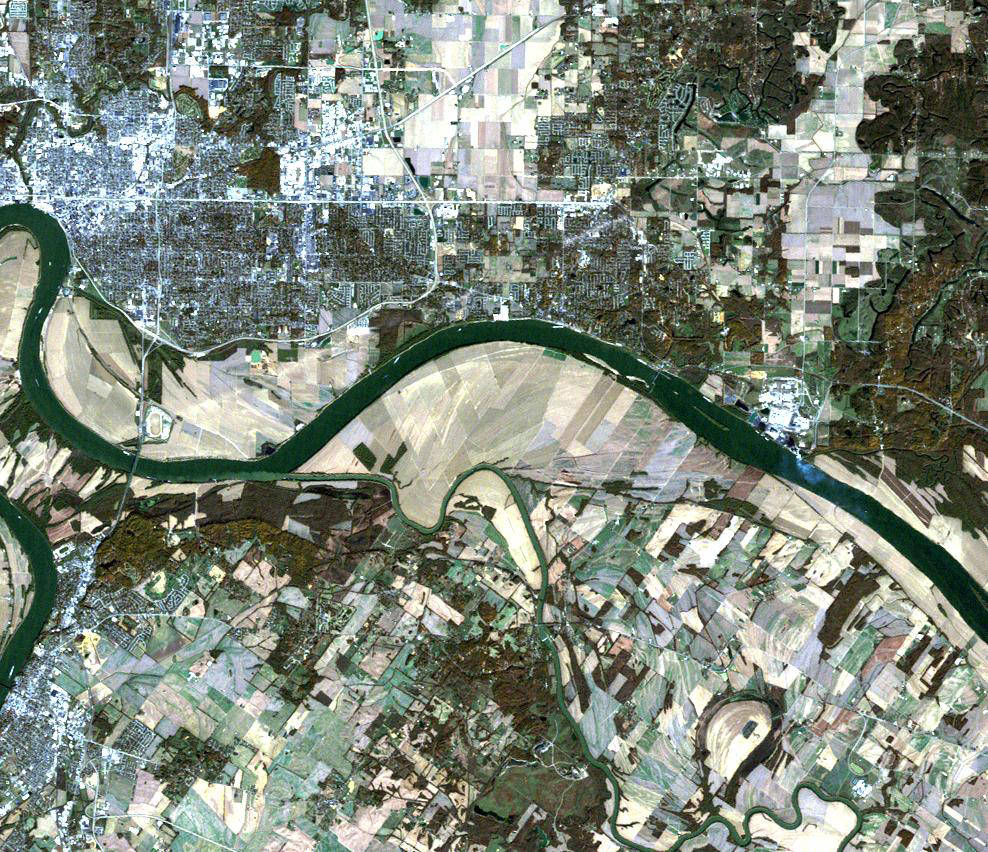
A large tornado that cut a 66-kilometer (41-mile) swath of destruction across southern Indiana and northwestern Kentucky in the early morning hours of Nov. 6, 2005, killed 23 and left at least 200 injured. The storm destroyed more than 100 buildings and homes as it tore across the two states with winds estimated at 320 kilometers per hour (200 mph).
Four days later, on Nov. 10, 2005, the Landsat satellite captured this image of the storm-hit section of Indiana and Kentucky. A pale, interrupted stripe across the image-like someone dragged an eraser across the scene-shows the track the tornado made as it moved from southwest to northeast along the outskirts of Evansville, Indiana. The tornado’s track begins on the northern banks of the Ohio River on the lower left side of the image.Image Credit: NASA Landsat Project Science Office and USGS EROS


