


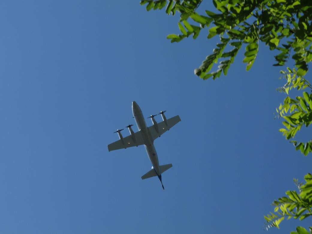
Maryland resident John Kovasckitz captured this image of NASA’s P-3B as flew south by southwest near the Fair Hill loop in Maryland on July 1, 2011. During the month of July NASA conducted a series of field studies to assess air quality over northeast Maryland. Two research airplanes-one flying high and the other low-completed 14 flight days of sampling in coordination with ground sites monitoring air quality. These flights were able to sample pollutants in the lower atmosphere over major interstates, densely populated areas, small towns and the Chesapeake Bay.
The 117-foot NASA P-3B, spiraled over six ground stations in Maryland, flying as low as 1,000 feet and gathering just over 250 soundings, gathering air-quality data for the study.Image Credit: John Kovasckitz (Used by permission; all rights reserved)