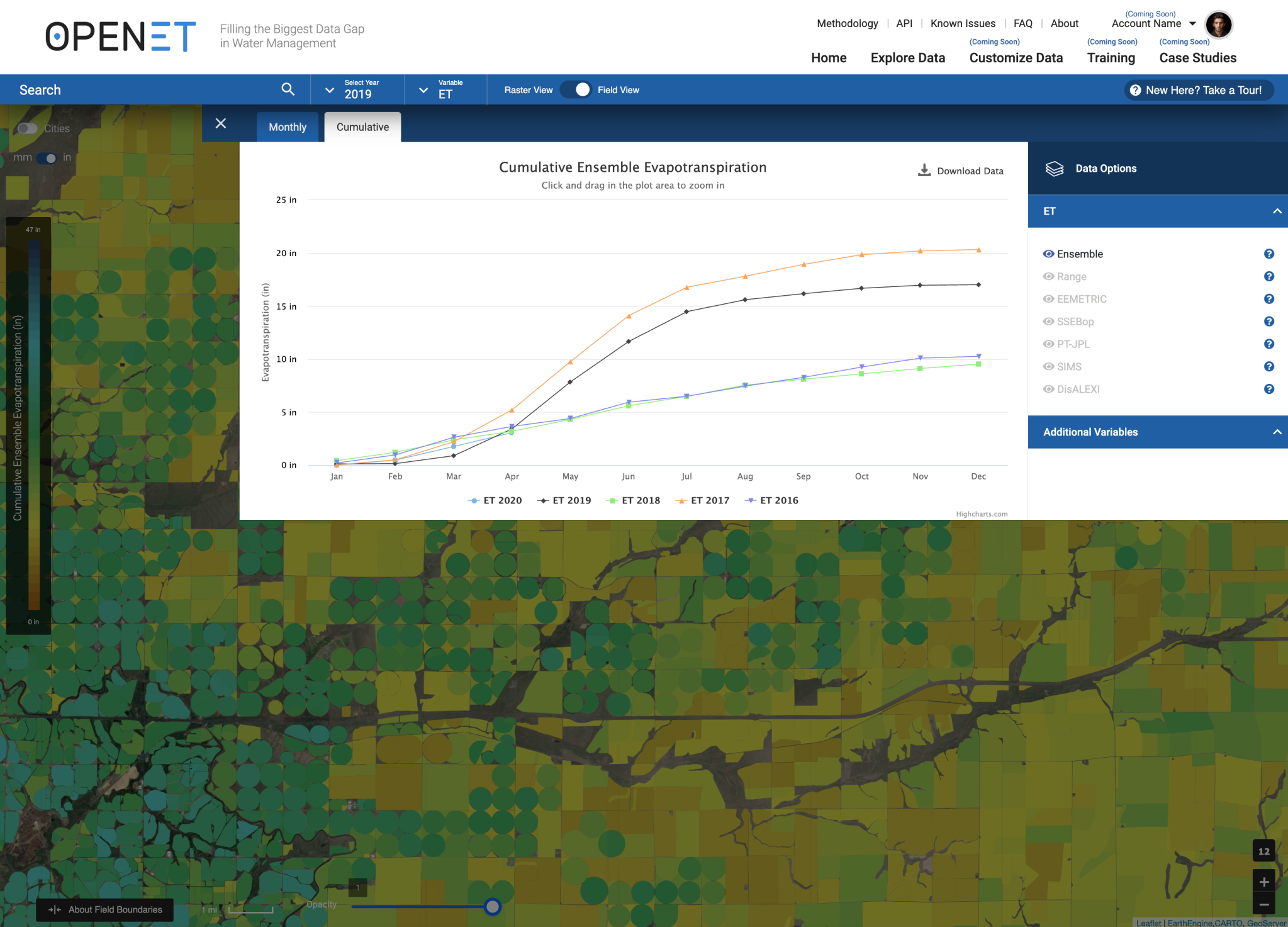
Building upon more than two decades of research, a new web-based platform called OpenET will soon be putting NASA data in the hands of farmers, water managers and conservation groups to accelerate improvements and innovations in water management. OpenET uses publicly available data and open source models to provide satellite-based information on evapotranspiration (the “ET” in OpenET) in areas as small as a quarter of an acre and at daily, monthly and yearly intervals.
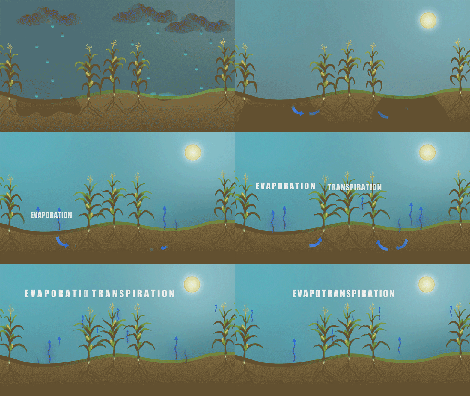
Evapotranspiration is the process by which water is transferred from the land to the atmosphere, by water leaving the soil (evaporation) and water lost through plant leaves and stems (transpiration). Evapotranspiration is an important measure of how much water is used or “consumed” by agricultural crops and other plants.
In the arid western United States, where the majority of water used by people is for irrigation to grow crops, having an accurate measure of evapotranspiration is critical to balancing water supplies and water demand. Until OpenET, there has not been an operational system for measuring and distributing evapotranspiration data at the scale of individual fields across the western United States. OpenET will be available to the public next year, supplying evapotranspiration data across 17 western states.
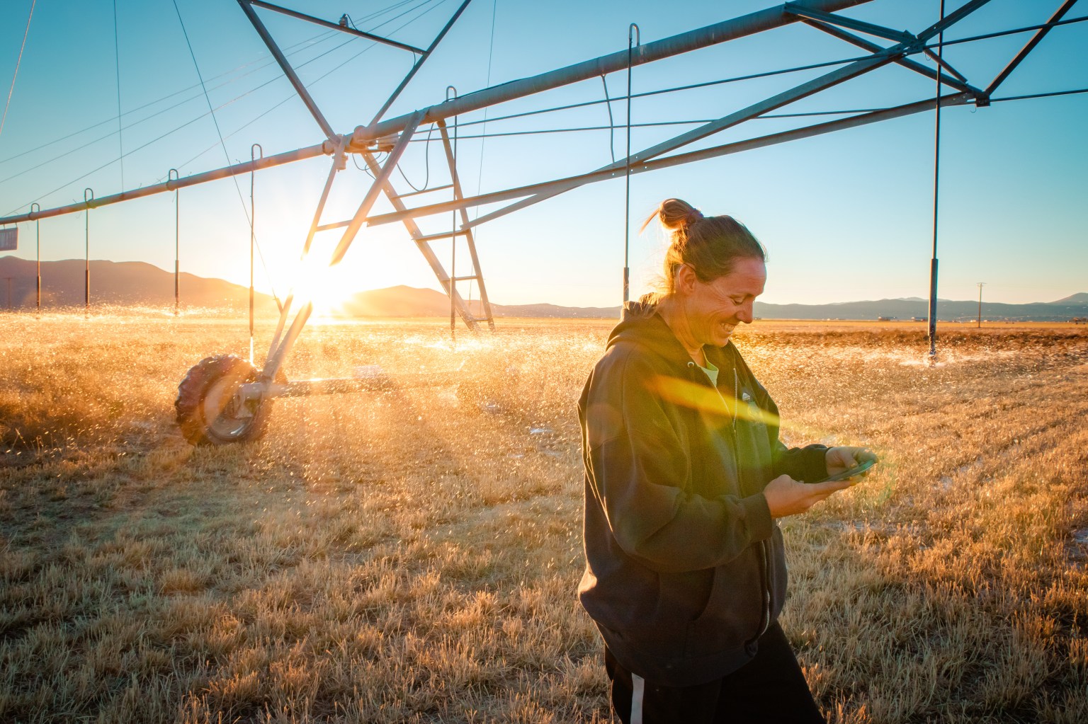
“What OpenET offers is a way for people to better understand their water usage and, more importantly, their water loss through evapotranspiration,” said Denise Moyle, an alfalfa farmer in Diamond Valley, Nevada, and an OpenET collaborator. “Giving farmers and other water managers better information is the greatest value of OpenET.”
The OpenET platform is being developed through a unique collaboration of scientists, farmers and water managers from across the western United States, as well as software engineers specializing in data access and visualization for large Earth observation datasets.
Led by NASA, the nonprofit Environmental Defense Fund (EDF), the Desert Research Institute (DRI) and data applications developer HabitatSeven, with funding from the Water Funder Initiative and in-kind support from Google Earth Engine, OpenET primarily uses satellite datasets from the Landsat program, which is a partnership between NASA and the U.S. Geological Survey (USGS). Additional data comes from NASA’s Terra and Aqua satellites, the National Oceanic and Atmospheric Administration (NOAA) GOES series of satellites and others.
“OpenET will empower farmers and water managers across the West to build more accurate water budgets and identify stress, resulting in a more resilient system for agriculture, people and ecosystems,” said Maurice Hall, head of EDF’s Western Water program. “We envision OpenET leveling the playing field by providing the same trusted data to all types of users, from the small farmer to regional water planners.”
California’s Delta Watermaster Michael George is responsible for administering water rights within the Sacramento-San Joaquin River Delta, which supplies drinking water to more than 25 million Californians and helps irrigate 3 million acres of farmland. For him, the development of OpenET signals an exciting opportunity for the future of water in the West.
“OpenET represents a game-changing leap forward for water management,” George said. “It will help landowners and water managers in the Bay-Delta save millions of dollars that would otherwise have to be spent on water meters to more accurately measure water use, as required by state law.”
In addition to helping Delta farmers save costs, OpenET data will improve water management in the area, according to Forrest Melton, program scientist for NASA’s Western Water Applications Office. He is also with the NASA Ames Research Center Cooperative for Research in Earth Science and Technology (ARC-CREST).
“The importance of careful, data-driven water management in the Delta and other regions can’t be overstated,” he explained. “In addition to supplying water for drinking and growing food, the Delta provides critical habitat for endangered species. For a water manager, trying to balance all of these demands is almost impossible without accurate, timely data.”
The OpenET team is currently collaborating with water users on several case studies across the West. In California’s Central Valley, the Rosedale-Rio Bravo Water Storage District is already starting to use OpenET data as the foundation for an online water accounting and trading platform to help farmers in the district manage groundwater sustainably. In Colorado, high-altitude ranchers will be using OpenET as they experiment with different irrigation strategies to conserve water.
Landsat science team member Justin Huntington of DRI emphasized the value of getting this type of early feedback on the OpenET system from future users. “Working closely with farmers and water managers on the design of OpenET has given us invaluable insights into how to best make ET data available to support water management in Diamond Valley and other basins across the West,” he said.
Because the OpenET system uses open source software and open data sources, it will help water managers establish an agreed upon measure of evapotranspiration across agricultural areas, said Melton. Different estimates of evapotranspiration have previously been a source of confusion for water managers, he said, explaining that water users and managers currently have to evaluate a variety of methodologies to measure water use and evapotranspiration, which often leads to different numbers and debates over accuracy.
OpenET provides a solution to those debates, said project manager Robyn Grimm. “OpenET brings together several well-established methods for calculating evapotranspiration from satellite data onto a single platform so that everyone who makes decisions about water can work from the same playbook, using the same consistent, trusted data,” said Grimm, who is also a senior manager at EDF.
The need for a resource like OpenET is also pressing beyond California and across the American West, Melton said.
“Our water supplies in the West are crucial to providing food for the country and beyond, and yet these supplies are under increasing levels of stress,” Melton said. “OpenET will provide the data we need to address the challenge of water scarcity facing many agricultural regions around the world and ensure we have enough water for generations to come.”
By Maddie Ecker


