


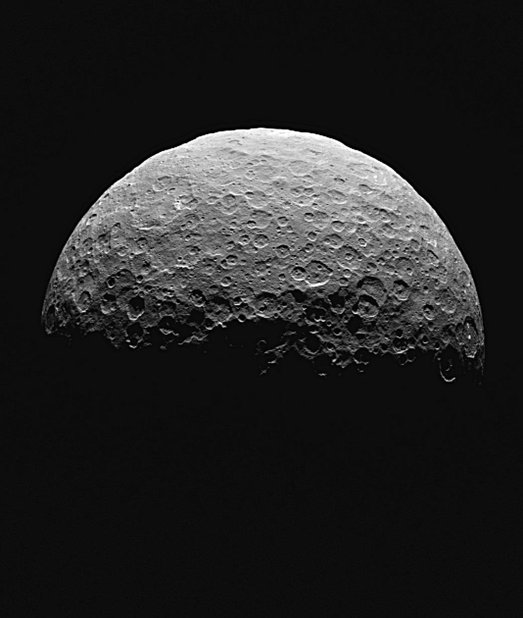
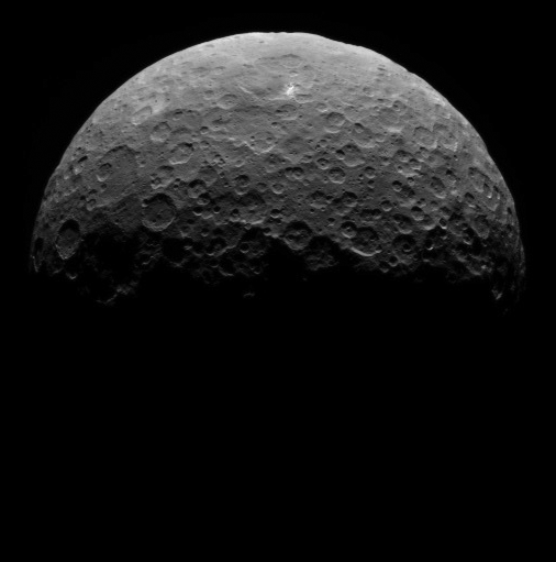
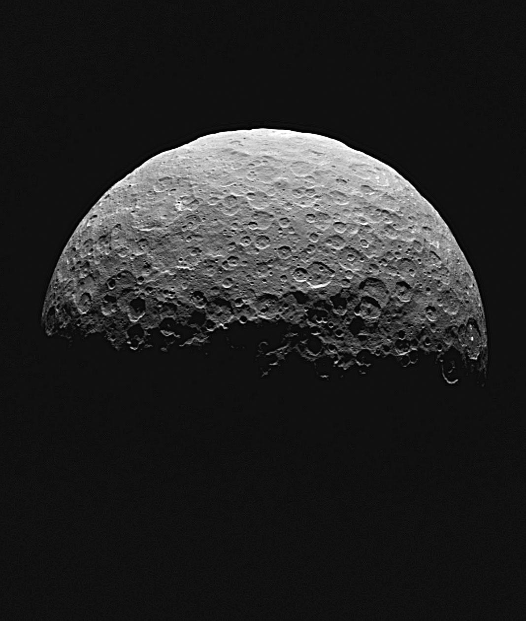
This animated sequence of images from NASA’s Dawn spacecraft shows northern terrain on the sunlit side of dwarf planet Ceres. Dawn took these images on April 14 and 15 from a vantage point 14,000 miles (22,000 kilometers) above Ceres’ northern hemisphere. The spacecraft was settling into its first circular orbit, called RC3 (for “rotation characterization 3”), which it will begin on April 23.
The bright feature called “spot 5” by the Dawn science team — actually two bright spots close together — rotates into view at right in the last few frames.
Dawn has now finished delivering the images that have helped mission planners maneuver the spacecraft to its first science orbit and prepare for subsequent observations.
Image scale on Ceres is about 1.3 miles (2.1 kilometers) per pixel, compared to 1.9 miles (3.1 kilometers) per pixel in the optical navigation images taken on April 10 (see PIA19317). The sun-Ceres-spacecraft angle, or phase angle is 91 degrees here, compared to 131 degrees in the previous sequence.
A processed still image from this sequence is also available.
Dawn’s mission is managed by JPL for NASA’s Science Mission Directorate in Washington. Dawn is a project of the directorate’s Discovery Program, managed by NASA’s Marshall Space Flight Center in Huntsville, Alabama. UCLA is responsible for overall Dawn mission science. Orbital ATK, Inc., in Dulles, Virginia, designed and built the spacecraft. The German Aerospace Center, the Max Planck Institute for Solar System Research, the Italian Space Agency and the Italian National Astrophysical Institute are international partners on the mission team. For a complete list of acknowledgements, visit http://dawn.jpl.nasa.gov/mission
Credit: NASA/JPL-Caltech/UCLA/MPS/DLR/IDA