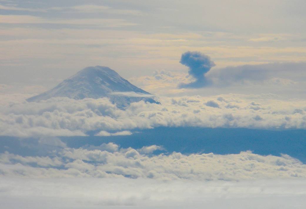
An ash cloud from an eruption of the Tungurahua volcano in Ecuador and the peak of the dormant Chimborazo volcano project through cloud cover in this photo taken from NASA’s C-20A flying at 41,000 feet altitude about 100 miles northeast of Guayaquil, Ecuador on March 17.March 17, 2013
NASA Photo / Bill Brockett
1 min read


