


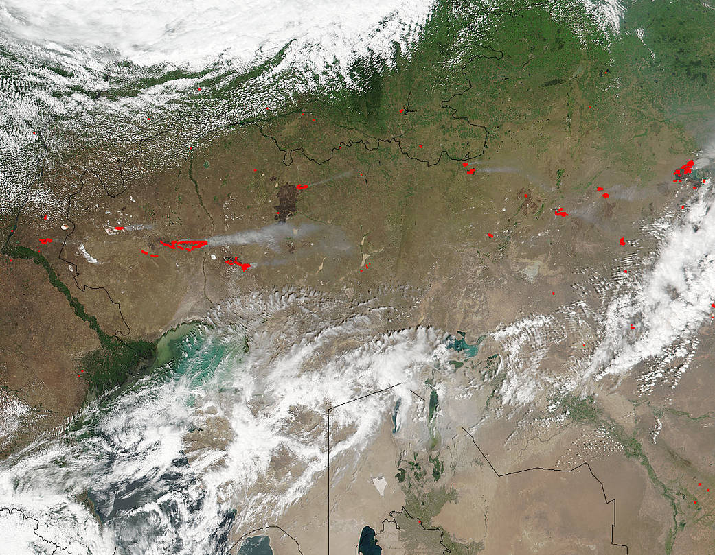
The Suomi NPP satellite’s Visible Infrared Imaging Radiometer Suite (VIIRS) instrument captured a look at multiple fires and smoke burning in Kazakhstan on July 6, 2017.
Actively burning areas, detected by VIIRS are outlined in red. When they are accompanied by smoke, as in this image, they are indicative of fire. Also the dark reddish mark that appears on the landscape is indicative of past fire activity, scorched earth. July is typically a very hot and dry month so these fires may well have been started by lightning from heat storms or they also may be intentional agricultural fires set by people to prepare for the upcoming growing season.
The Suomi NPP satellite is a joint mission between NASA and NOAA.
NASA image courtesy Jeff Schmaltz, MODIS Rapid Response Team. Caption: NASA/Goddard, Lynn Jenner