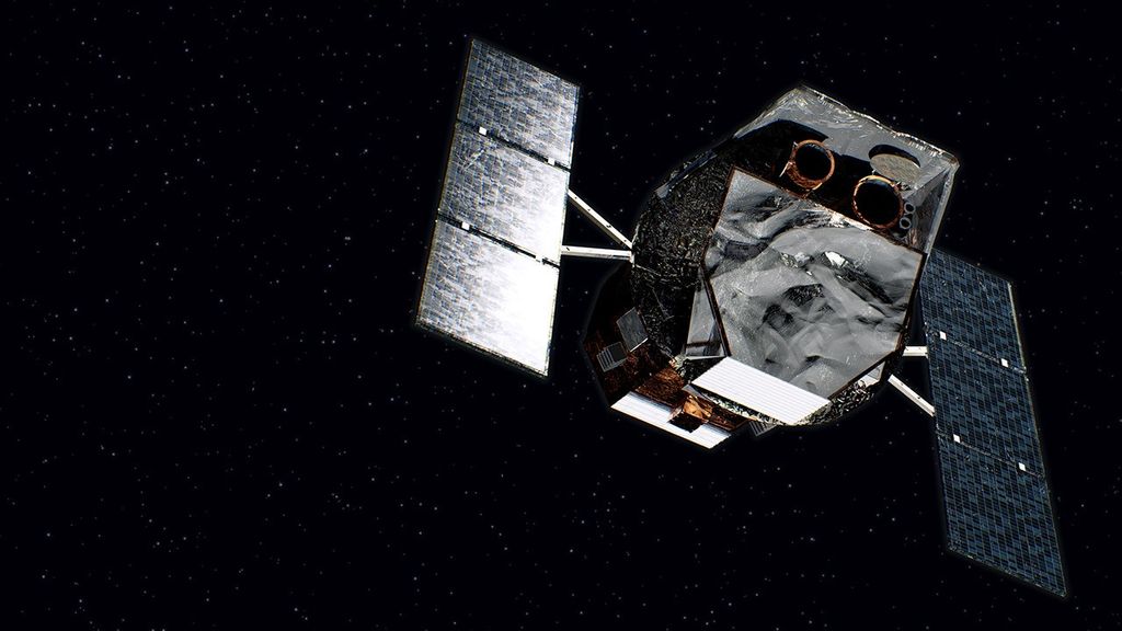
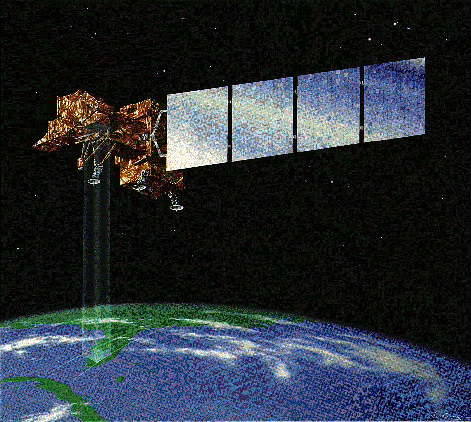
Landsat-7 collects frequent global multispectral imagery of the Earth’s surface to contribute to a continuous data set including the data of previous Landsat missions. When it was launched, Landsat-7 was the most accurately calibrated Earth-observing satellite ever placed in orbit and continues to provide high quality data.
Launch: April 1999Operating Network: Near Space Network› Near Space Network (NSN)› Landsat-7› Earth Missions Supported by SCaN

