


ED07-0243-36
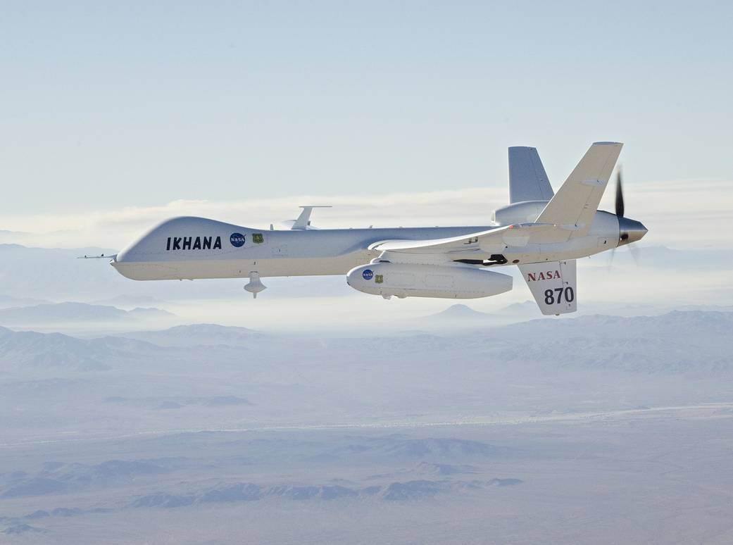
With smoke from the Lake Arrowhead, CA area fires streaming in the background, NASA’s Ikhana unmanned aircraft headed out on a wildfire imaging mission. Ikhana carried the Autonomous Modular Scanner payload developed by NASA’s Ames Research Center at Moffett Field, CA. The equipment incorporated a sophisticated imaging sensor and real-time data communications equipment. The sensor is capable of peering through thick smoke and haze to record hot spots and the progression of wildfires over a lengthy period. The data was downlinked to NASA Ames where it was overlaid on Google Earth maps, then transmitted in near-real time to the Interagency Fire Center in Boise, ID, and made available to fire incident commanders to assist them in allocating their fire-fighting resources.October 24, 2007
NASA Photo / Jim Ross