


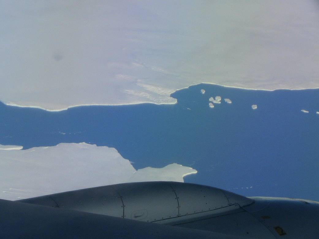
After breaking away from Pine Island Glacier, ice is set adrift in Pine Island Bay. The icebergs were visible from the DC-8 during the Operation Ice Bridge science flight on Oct. 20, 2009, to map the glacier.
After breaking away from Pine Island Glacier, ice is set adrift in Pine Island Bay. The icebergs were visible from the DC-8 during the Operation Ice Bridge science flight on Oct. 20, 2009, to map the glacier.
Image Credit: NASA